
Wien - Arsenal
Vienna, Austria — 14 km

Schwechat - Flughafen Wien
🇦🇹 Lower Austria · Austria — Altitude 205 m
This live view looks out over Vienna International Airport in Schwechat, just southeast of the Austrian capital. It is a practical window for anyone tracking traffic at one of central Europe's busiest air hubs or simply curious about aircraft movements on a given day.
Schwechat is a town in Lower Austria, bordering the Vienna city limits and sitting on flat ground of the Vienna Basin at about 200 metres above sea level. The airport is the main gateway to Austria and serves as an important hub for connections to Eastern and Southeastern Europe. Its position close to the capital makes the surrounding area a mix of industrial zones, farmland and residential streets.
The camera follows the airfield, so activity is usually most visible during the daytime, when departures and arrivals are scheduled in waves through the morning and evening. Weather changes the view noticeably, with low cloud, rain or snow affecting visibility and how the runways look. Clear mornings tend to offer the sharpest outlook over the flat terrain, depending on the framing at the time you visit.
Vienna has a continental climate, with warm summers, cold winters and a fair amount of wind on the plains. The airport is linked to the city by rail and road, and the journey to central Vienna takes roughly twenty minutes by train. You can also compare the view with other live cameras nearby, including Wien Arsenal, the KFV traffic safety camera and the Rathaus view.
Source: panomax.com
Vienna, Austria — 14 km

Vienna, Austria — 14 km
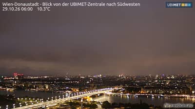
Vienna, Austria — 17 km
Vienna, Austria — 18 km

Vienna, Austria — 20 km
Vienna, Austria — 21 km
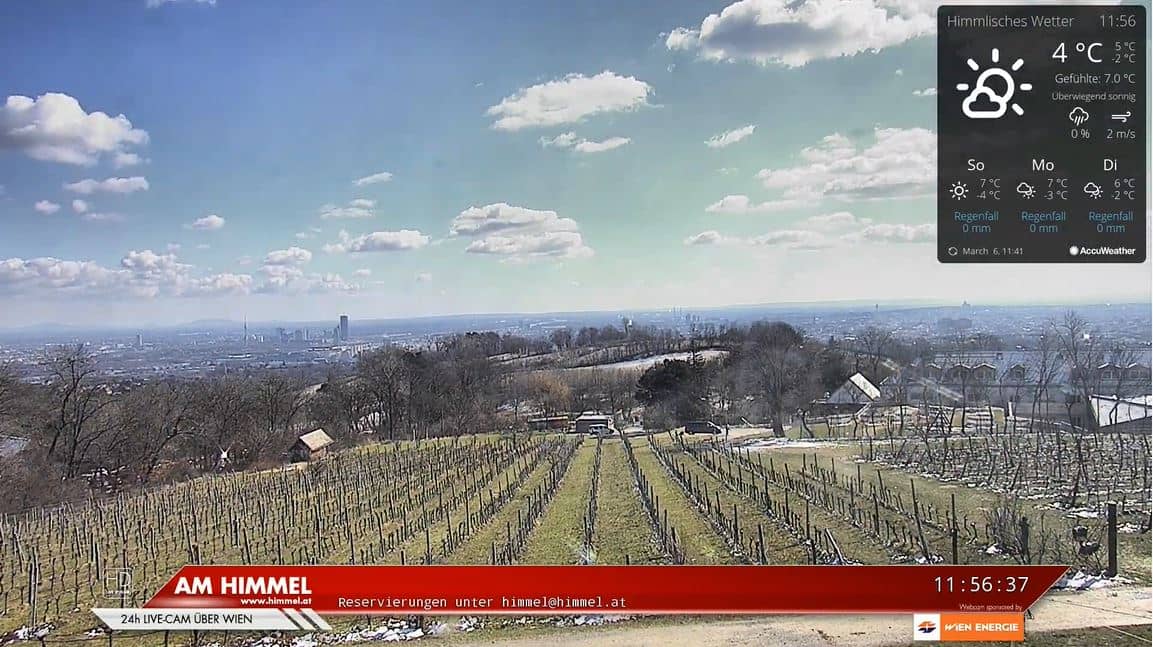
Vienna, Austria — 24 km
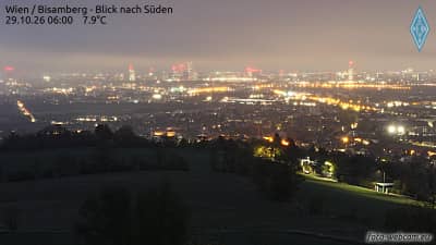
Lower Austria, Austria — 25 km

Lower Austria, Austria — 29 km
Burgenland, Austria — 29 km
The current conditions and a three-day forecast for Schwechat are shown in the live weather block on this page, and they update automatically.
The local time for Schwechat is displayed on this page and follows the Central European time used across Austria.
The camera is at Vienna Airport in Schwechat, Lower Austria, about 16 kilometres southeast of central Vienna. The map on this page shows its position.
Daytime is usually the busiest, as flights are scheduled in waves through the morning and evening. Clear weather generally gives the clearest view.
Partner links: we may earn a commission at no extra cost to you.