
Raxalpe - Ottohaus
Lower Austria, Austria — 7.5 km

Puchberg am Schneeberg - Hochschneeberg
🇦🇹 Lower Austria · Austria — Altitude 1802 m
This live camera looks out from the Hochschneeberg area above Puchberg am Schneeberg in Lower Austria, a mountain village at the foot of one of the region's best-known peaks. It suits anyone planning a hike or ski day, or simply curious about the weather over the Alpine foothills south of Vienna.
Puchberg am Schneeberg sits on the southern edge of the Schneeberg massif, the highest peak of the Lower Austrian limestone Alps at roughly 2,000 metres. The Hochschneeberg, at about 1,800 metres, is reached by the historic rack railway that climbs from the village and has carried visitors to the mountain for more than a century. The landscape is open limestone plateau, dwarf pine and beech forest, with wide views east towards the Hungarian plain on clear days.
The camera is positioned for the mountain panorama, so cloud movement, snow cover and visibility changes are the main things to follow. Mornings often bring the clearest air before cloud builds over the peaks in summer afternoons. In winter the slopes are most interesting after fresh snowfall, while autumn offers strong colour on the lower forest. The category is mountain, so the view is best judged by the sky and terrain rather than by any single landmark.
The Alpine climate here is cooler than in Vienna, with summer days often pleasant and winters snowy and sometimes windy on the summit. Check the forecast on this page before travelling up, since mist and wind can quickly reduce visibility. Nearby cameras include the Raxalpe at the Ottohaus, Semmering and the Kirchberg am Wechsel views, which are useful for comparing conditions across the region.
Source: panomax.com
Lower Austria, Austria — 7.5 km
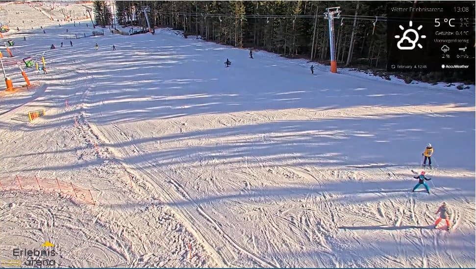
Lower Austria, Austria — 15 km
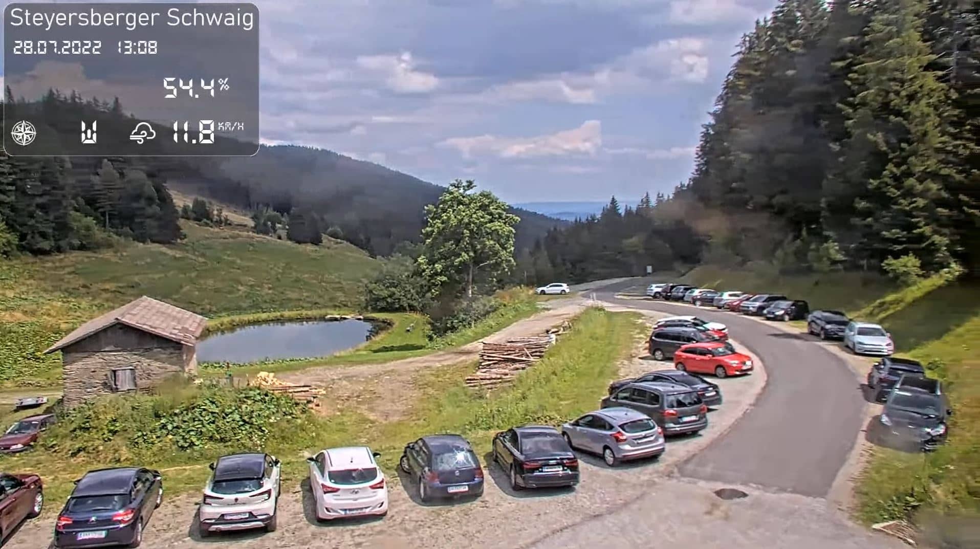
Lower Austria, Austria — 20 km
Lower Austria, Austria — 20 km
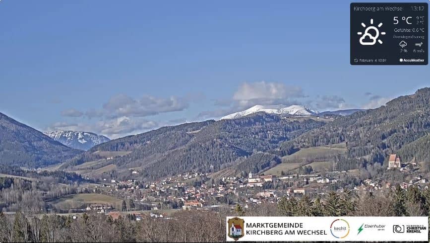
Lower Austria, Austria — 23 km
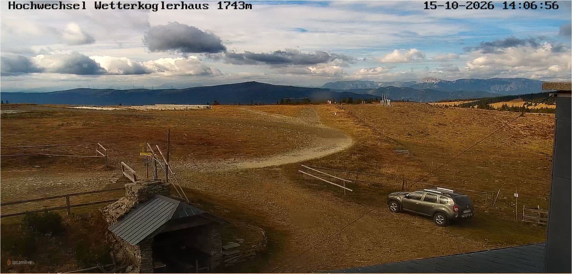
Lower Austria, Austria — 26 km
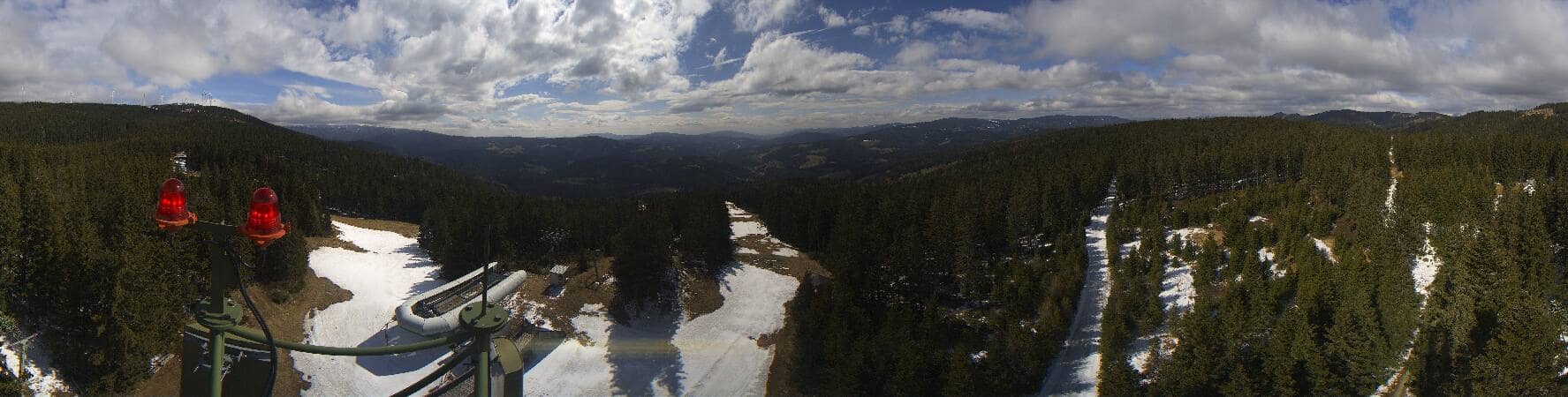
Styria, Austria — 29 km
Lower Austria, Austria — 29 km
Lower Austria, Austria — 30 km
Lower Austria, Austria — 31 km
The current conditions and a three-day forecast for the summit area are shown in the live weather block on this page. Mountain weather can change quickly, so check it before setting off.
The local time for Puchberg am Schneeberg is shown on this page and follows Central European time, with daylight saving applied in summer.
The camera is on the Hochschneeberg above Puchberg am Schneeberg in Lower Austria, at about 1,800 metres above sea level, and the map on this page marks its position.
Early morning often gives the clearest air, while winter brings snow cover and summer afternoons can bring cloud over the peaks. Clear, settled days are usually the most rewarding.
Partner links: we may earn a commission at no extra cost to you.