Berchtesgaden - Jennerbahn
Bavaria, Germany — 0.6 km
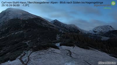
Carl-von-Stahl-Haus - Alpes de Berchtesgaden - vue vers le sud sur le Hagengebirge
🇦🇹 Salzburg · Austria — Altitude 1668 m
This camera looks south from the Carl-von-Stahl-Haus, a mountain hut at about 1,668 metres in the Berchtesgaden Alps. It is useful for anyone wanting to see the ridges of the Hagengebirge and the state of the sky above them before planning a walk or a climb.
The Berchtesgaden Alps sit in the far south-east of Germany, bordering Austria's Salzburg region. The landscape is dominated by pale limestone massifs, deep valleys and the glacier-fed Königssee lake. The Hagengebirge, the range in the southern view, is a rugged plateau of karst terrain, with sharp ridges, sinkholes and bare rock. The area is part of a national park and is known for its alpine flora and dramatic scenery.
The view is of a high mountain setting, so the camera is most useful for reading the weather. Morning often brings clear visibility before clouds build over the peaks in the afternoon. Low cloud, mist in the valleys and snow on the ridges can change the look of the range quickly, depending on the season. Evening light can pick out the rock faces in warm tones, when the weather allows.
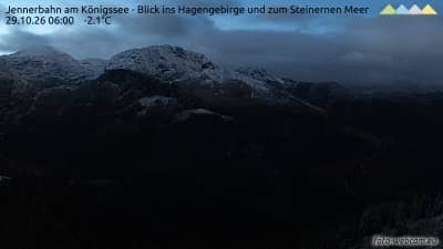
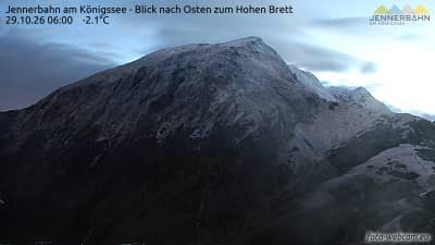
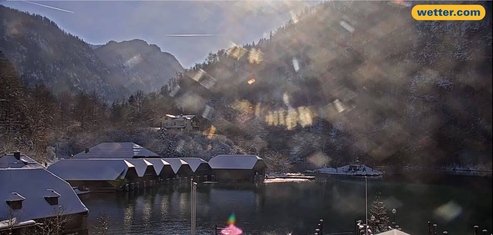
Summer and early autumn are the usual months for hiking, with snow often lingering on higher ground into late spring. Winter brings skiing and snowshoe routes. Conditions change fast at altitude, so check the live weather block before setting out. Nearby cameras on VizCams cover the Jenner cable car area and the Königssee shoreline, which can help you compare conditions lower down.
Source: foto-webcam.eu
Bavaria, Germany — 0.6 km
Bavaria, Germany — 0.6 km
Bavaria, Germany — 1.3 km
Bavaria, Germany — 1.4 km
Bavaria, Germany — 1.4 km
Bavaria, Germany — 4 km
Bavaria, Germany — 4.3 km
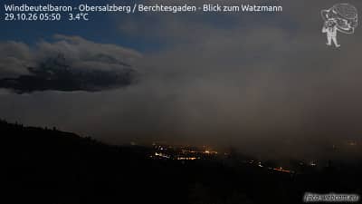
Bavaria, Germany — 4.7 km

Bavaria, Germany — 6.9 km
Bavaria, Germany — 7.4 km
The current conditions and a three-day forecast for this mountain location are shown in the live weather block on this page. Mountain weather can change quickly, so check it before setting out.
The local time for the camera is displayed on this page, updated live. It follows the time used in Austria, which is one hour ahead of UTC in winter and two in summer.
The camera is at the Carl-von-Stahl-Haus in the Berchtesgaden Alps, near the Austrian border with Germany, at about 1,668 metres above sea level. The map on this page shows the exact position.
Clear mornings are often the best for seeing the ridges, while afternoons can bring cloud over the peaks. Winter and spring show the snow cover, and summer shows the clearest rock detail.
Partner links: we may earn a commission at no extra cost to you.