Nauders - Bergstation Bergkastelseilbahn
Tyrol, Austria — 3.6 km
Nauders - Tscheyeck Bergstation
🇦🇹 Tyrol · Austria
This camera points from the Tscheyeck mountain station above Nauders, a village in the Upper Inn valley near the Swiss and Italian borders. It is useful for judging conditions on the mountain before you head up, or simply for watching the alpine light change across the valley.
Nauders sits at the western end of Tyrol, where the Inn river runs toward the Engadine and the Reschen Pass leads south toward South Tyrol. The village is known as a base for skiing, hiking and cycling in the Samnaun and Ötztal Alps region. The landscape is wide and open, with pine forests, meadows and high peaks that stay snow-covered well into spring.
The view is of a mountain station, so the picture is dominated by the slopes, lift infrastructure and the surrounding ridges. Depending on the view at the time, you may see skiers and hikers, or clouds moving over the peaks. Clear mornings tend to give the sharpest visibility, while late afternoon light often brings out the shapes of the mountains. Weather in the Alps can change quickly, so check back if the first look is misty.
Winters are cold and snowy, with the main season running from December to March, while summers are mild and suited to hiking. Late spring and early autumn can be quieter and calmer. The nearby cameras listed on this page, including the Bergkastelseilbahn, Zirmbahn, FlyingCam and Mutzkopflift, cover other lifts and slopes in the area, so you can compare conditions across the mountain.
Source: feratel.com
Tyrol, Austria — 3.6 km
Tyrol, Austria — 4.3 km
Tyrol, Austria — 4.3 km
Tyrol, Austria — 5.6 km
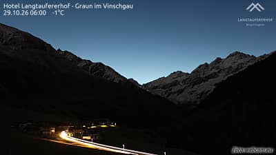
Trentino-South Tyrol, Italy — 7.7 km

Trentino-South Tyrol, Italy — 9.1 km
Tyrol, Austria — 9.6 km
Tyrol, Austria — 10 km
Tyrol, Austria — 11 km
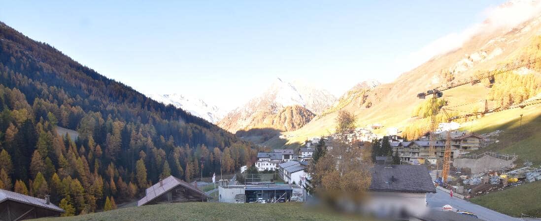
Graubünden, Switzerland — 15 km
The current weather and a three-day forecast for Nauders are shown in the live block on this page. Mountain conditions can differ from the valley, so compare both before you travel.
The local time for Nauders is displayed on this page and follows the Central European time used in Austria. It updates automatically as you view the camera.
The camera is at the Tscheyeck mountain station above Nauders in the Tyrol region of Austria, near the Swiss and Italian borders. The map on this page shows its exact position.
Clear winter mornings are often the most useful for checking snow and visibility on the slopes, while summer afternoons show hiking weather. Check the live view before planning a trip up the mountain.
Partner links: we may earn a commission at no extra cost to you.