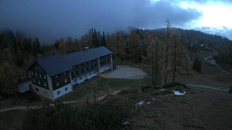
Hinterstoder - Höss-Express Bergstation
Upper Austria, Austria — 0.5 km
Hinterstoder - Panoramalift Tal - Startplatz West
🇦🇹 Upper Austria · Austria
This live camera looks at the western start point of the panoramic lift in Hinterstoder, a village in the Totes Gebirge foothills of Upper Austria. It is useful for checking how the valley looks before you travel, from snow cover to cloud level.
Hinterstoder sits in a narrow valley of the Pyhrn-Priel region, surrounded by limestone peaks of the Totes Gebirge and the Haller Mauern. It is one of Austria's better-known ski villages and a base for hiking in summer, with cable cars and marked trails rising from the valley floor. The landscape is steep, green in summer and white in winter, and the village keeps a quiet, mountain-town character.
Depending on the view, the feed may show the lift station, slopes and the valley road. The scene is most informative in the morning, when cloud and fresh snow are easiest to read, and after new snowfall in winter. In summer, watch for clear skies before planning a longer hike. Weather changes quickly in these valleys, so the live view often tells more than a forecast.
Winters are cold and snowy, while summers are mild with frequent afternoon showers. Late spring and early autumn are quieter periods with fewer crowds. Nearby cameras on the same mountain network include the Höss-Express top station, the Hirschkogelbahn top station and the FlyingCam, which help you judge conditions higher up the slopes.
Hinterstoder is reached by road from Windischgarsten or Liezen, and the nearest larger town is Steyr. Local buses connect the valley villages. Parking near the lifts can fill on busy winter weekends, so arriving early is sensible.
Source: feratel.com
Upper Austria, Austria — 0.5 km
Upper Austria, Austria — 0.8 km
Upper Austria, Austria — 1.3 km
Upper Austria, Austria — 1.6 km
Upper Austria, Austria — 9.1 km
Upper Austria, Austria — 9.1 km
Upper Austria, Austria — 9.1 km

Styria, Austria — 11 km

Styria, Austria — 15 km
Styria, Austria — 16 km
The current conditions and a three-day forecast are shown in the live weather block on this page. They update with the page, so check them before setting out.
The local time for Hinterstoder is displayed on this page and follows the Central European time zone used across Austria.
The camera is at the western start point of the panoramic lift in Hinterstoder, Upper Austria. The map on this page marks its position in the valley.
Mornings give the clearest view of the peaks, and winter days after fresh snow are especially useful for checking slope conditions in the valley.
Partner links: we may earn a commission at no extra cost to you.