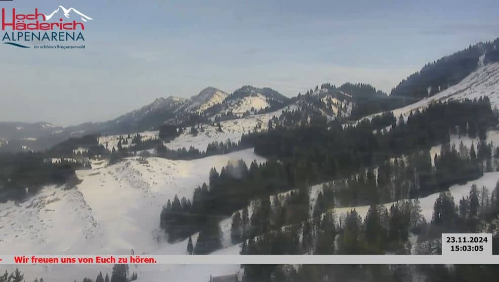
Hoch Haderich
Tyrol, Austria — 4.8 km
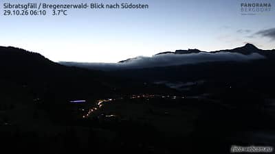
Sibratsgfäll - Bregenzerwald - vue vers le sud-est
🇦🇹 Vorarlberg · Austria — Altitude 1070 m
This camera looks south-east from Sibratsgfäll, a small village in the Bregenz Forest at about 1,070 metres above sea level. It is a useful window onto the wooded hills and pastures of western Austria. Watch it to judge the cloud cover and visibility before a walk or drive into the mountains.
Sibratsgfäll sits in the hilly Bregenz Forest, the upland region of Vorarlberg that stretches toward the Alps. The landscape is shaped by dairy farming, spruce and beech woods, and scattered farmsteads with wooden houses. Villages here are small and quiet, and the terrain rises and falls steeply between valleys, which gives the views their depth and changing light.
The view is aimed toward the south-east over the forested hills, so the picture mainly reflects weather, cloud and light across the ridges. Mornings often bring mist in the valleys and clearer skies on the slopes, while late afternoon light can make the hills stand out. Clear days after rain tend to give the sharpest visibility, and winter snow changes the scene noticeably.
The Bregenz Forest has a temperate climate with wet, mild summers and snowy winters, so late spring to early autumn suits hiking and cycling. Expect changeable weather in the mountains and check conditions before setting out. Other cameras in the area include Hoch Haderich, Gschwend, Andelsbuch - Niedere and Balderschwang - Gelbhansekopf, all within about 7 km.
Source: foto-webcam.eu
Tyrol, Austria — 4.8 km
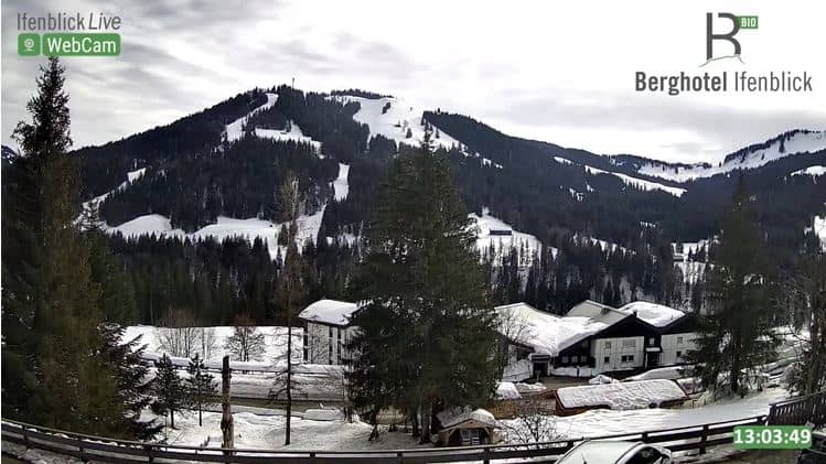
Tyrol, Austria — 6.6 km
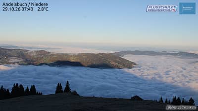
Vorarlberg, Austria — 6.8 km

Bavaria, Germany — 7.1 km
Bavaria, Germany — 7.5 km

Bavaria, Germany — 7.6 km
Bavaria, Germany — 7.6 km
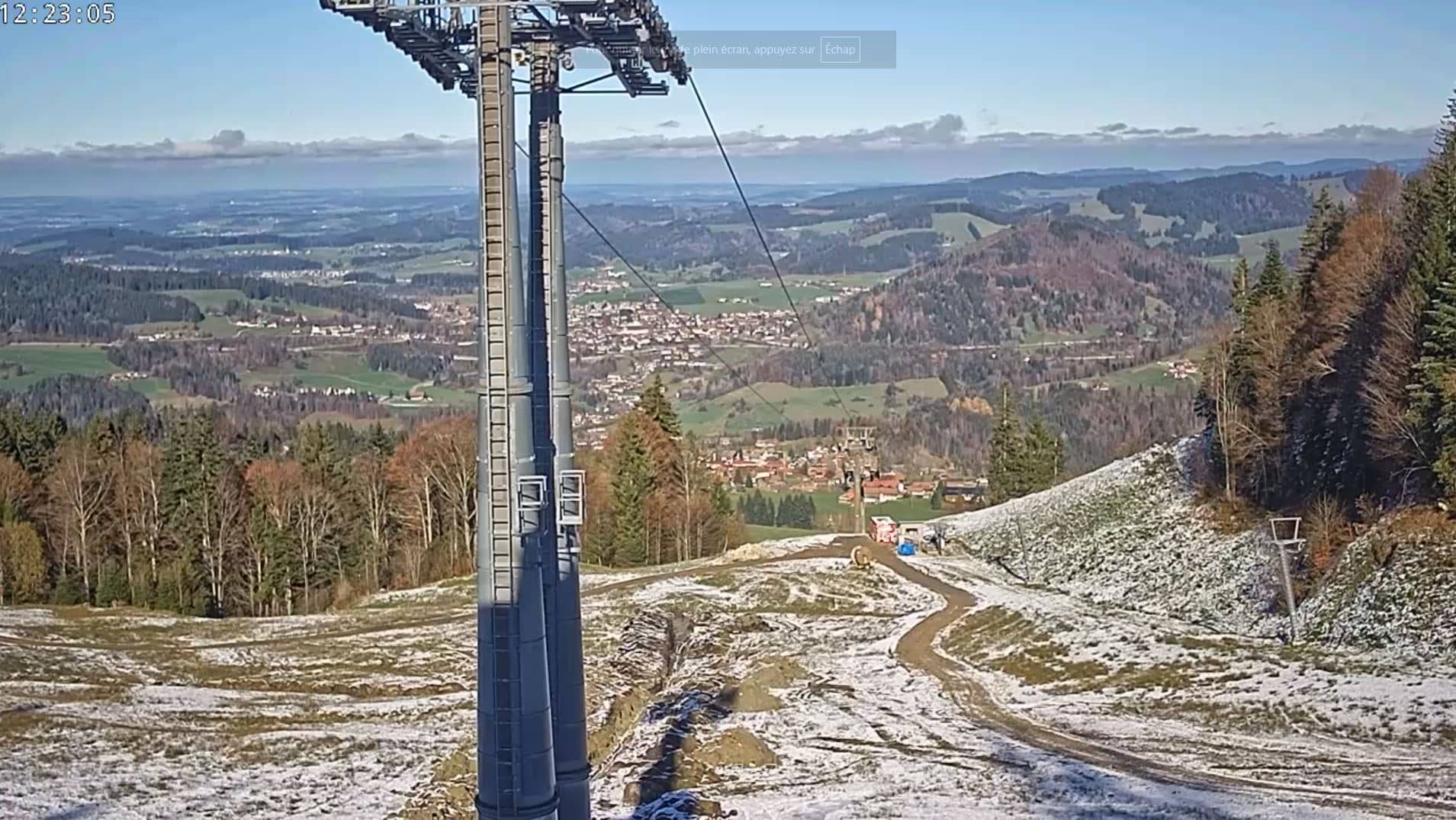
Bavaria, Germany — 8.7 km
Bavaria, Germany — 10 km
Vorarlberg, Austria — 12 km
The current conditions and the three-day forecast for Sibratsgfäll are shown in the weather block on this page. They update with the page, so you can compare what the camera shows with the forecast.
The local time for Sibratsgfäll is shown on this page and follows the local clock in Austria. It is useful when planning when to watch the live view.
The camera is in Sibratsgfäll in the Bregenz Forest of Vorarlberg, Austria, at about 1,070 metres altitude. The map on this page shows its position and the nearby cameras.
Mornings often show mist in the valleys, and clear late afternoons bring out the hills in good light. Clear days after rain usually give the best visibility.
Partner links: we may earn a commission at no extra cost to you.