
Andaraí - Torre da IBSOL Telecom - Oeste
Bahia, Brazil — 29 km

Lençóis - Torre da IBSOL Telecom - Sudeste
🇧🇷 Bahia · Brazil — Altitude 595 m
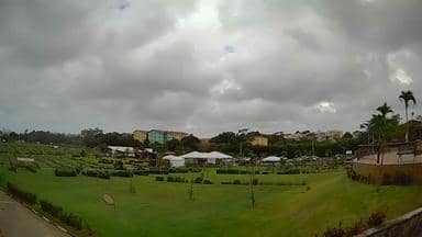
This live camera looks out from a telecom tower above Lençóis, a historic town in the Chapada Diamantina highlands of Bahia. It is useful for seeing the conditions over the town and surrounding hills before you travel or simply to follow the weather in this mountain region.
Lençóis sits in the Chapada Diamantina, a rugged plateau of sandstone ridges, waterfalls and caves in the interior of Bahia. The town grew around diamond and gold prospecting in the eighteenth and nineteenth centuries, and its colonial streets and painted houses still reflect that past. At about 595 metres above sea level, it enjoys milder temperatures than the lowlands of the state.
The stream is a view from a telecom tower, so it is best judged for weather and daylight rather than for close detail. Depending on the view, you may see cloud build-up over the hills, morning mist in the valleys and the changing light of the day. Afternoons in the wet season often bring rain clouds, which are worth watching if you plan hikes nearby.
The region has a tropical climate with a drier period from roughly May to September, which is generally the most comfortable time for walking. Lençóis is a base for trails, caves and waterfall excursions, usually arranged through local guides. Nearby cameras cover Andaraí, about 29 km away, and Itaeté, about 66 km away, if you want a wider picture of the region.
Source: climaaovivo.com.br
Bahia, Brazil — 29 km

Bahia, Brazil — 53 km
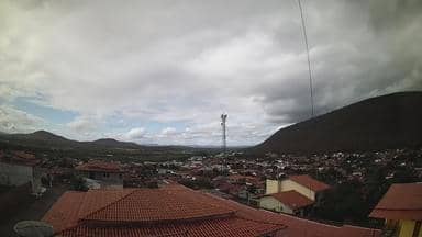
Bahia, Brazil — 66 km

Bahia, Brazil — 87 km

Bahia, Brazil — 138 km
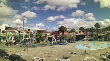
Bahia, Brazil — 153 km

Bahia, Brazil — 186 km
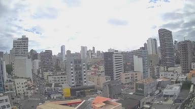
Bahia, Brazil — 315 km
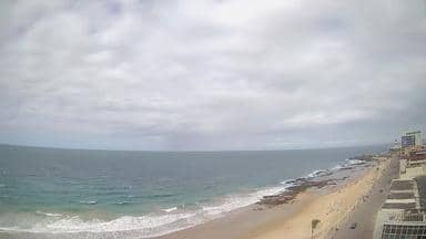
Bahia, Brazil — 315 km
Bahia, Brazil — 327 km
The current conditions and a three-day forecast for Lençóis are shown in the live weather block on this page. They update with the page, so check there before planning an outdoor day.
The local time for Lençóis is shown on this page and follows the Bahia time zone in Brazil. It is useful when you want to know whether daylight is still available for a hike.
The camera is mounted on a telecom tower in the Lençóis area of the Chapada Diamantina, at roughly 595 metres altitude. The map on this page shows its position relative to the town.
Mornings often show clearer valleys, while afternoons in the wet season can bring cloud and rain over the hills. Watching during daylight gives the most useful view of the weather.
Partner links: we may earn a commission at no extra cost to you.