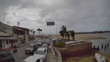
Porto Seguro - Balsa Porto Seguro - Arraial d´Ajuda - Leste
Bahia, Brazil — 0.8 km
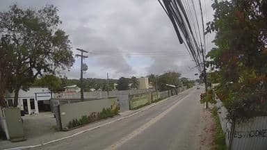
Porto Seguro - Estrada da Balsa - Arraial d´Ajuda - Noroeste
🇧🇷 Bahia · Brazil — Altitude 6 m
This live stream looks out over the ferry road that links Porto Seguro with Arraial d'Ajuda on the Bahian coast of Brazil. It suits anyone planning a crossing, following the coastal traffic, or simply curious how the approach to this stretch of the Costa do Descobrimento looks right now.
Porto Seguro sits on the southern coast of Bahia, where the Buranhém River meets the Atlantic. The town is widely known as the site of the first Portuguese landing in Brazil in 1500, and its historic centre and long beaches draw visitors throughout the year. Arraial d'Ajuda, across the river, is a smaller village with a lively beach strip and a more relaxed pace. The landscape is flat coastal plain, with palms, lagoons and Atlantic Forest remnants inland.
The camera is titled as a ferry road, so you can expect to follow vehicles and foot traffic approaching the crossing, depending on the view. Activity tends to pick up in the morning commute and during the afternoon, and it is busier on weekends and in the summer holiday season. Light changes are most noticeable at sunrise and sunset, when the coastline takes on warmer tones and the traffic flow is easier to read.
The region has a tropical climate with warm temperatures year round, and the rainy months are usually in the first half of the year. The driest and most comfortable period for beach days runs from roughly September to December. Getting around is easiest by car or taxi, and the nearby Trancoso airport and the other cameras listed on this page, including the Balsa Porto Seguro view one kilometre east, help you follow the area from several angles.
Source: climaaovivo.com.br
Bahia, Brazil — 0.8 km

Bahia, Brazil — 8.4 km

Bahia, Brazil — 9.9 km
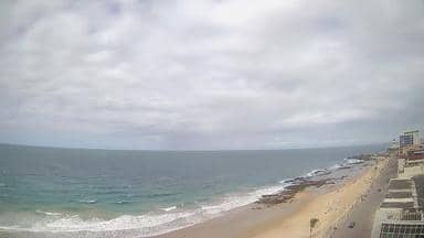
Bahia, Brazil — 388 km
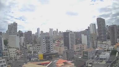
Bahia, Brazil — 388 km
Bahia, Brazil — 400 km

Bahia, Brazil — 425 km
Bahia, Brazil — 438 km
Espírito Santo, Brazil — 448 km

Bahia, Brazil — 469 km
The current conditions and a three-day forecast for Porto Seguro are shown in the live weather block on this page, updated automatically.
The local time for Porto Seguro is displayed on this page, so you can check it against your own time zone before watching the stream.
The camera overlooks the ferry road in the northwest part of the Porto Seguro and Arraial d'Ajuda crossing area, near the Buranhém River in Bahia, Brazil. The map on this page shows its exact position.
Mornings and late afternoons usually offer the clearest light and the most traffic, while weekends and the summer season tend to be busiest. Conditions depend on the weather at the time.
Partner links: we may earn a commission at no extra cost to you.