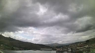
Itabira - JDCP Informática - Sudeste
Minas Gerais, Brazil — 0 km
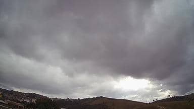
Itabira - JDCP Informática - Norte
🇧🇷 Minas Gerais · Brazil — Altitude 726 m
This live stream shows a northern view from a location in Itabira, a mining town in the hills of Minas Gerais. It is useful if you want to see current conditions in this part of Brazil before planning a trip or simply check how the day is developing there.
Itabira sits on the eastern edge of the Quadrilátero Ferrífero, the iron-rich range that has shaped the region for centuries. The town is known for its mining history and for the surrounding hills, which give the landscape a rugged, green character. Altitude here is roughly 700 metres, so temperatures are milder than in the lowlands of Brazil. The atmosphere is that of a working regional town rather than a tourist centre.
The feed is a northern view, and the picture is most informative in daylight, when cloud cover, rain fronts and haze over the hills are easiest to judge. Mornings often bring clearer skies, while afternoons in the wet season can become cloudy with short, heavy storms. Because the stream is live, you can follow how a front moves across the area over the course of an hour.
The climate is tropical with a pronounced dry season from roughly May to September, which is generally the most comfortable time to visit. The wet season from October to March brings warmer, more humid days and frequent afternoon rain. Belo Horizonte, about 80 kilometres away, is the nearest large city and has the closest nearby cameras, including the Ouro Minas hotel views in Pampulha and the city centre.
Source: climaaovivo.com.br
Minas Gerais, Brazil — 0 km
Minas Gerais, Brazil — 80 km
Minas Gerais, Brazil — 80 km
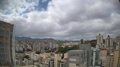
Minas Gerais, Brazil — 86 km

Minas Gerais, Brazil — 113 km
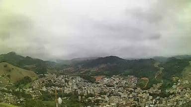
Minas Gerais, Brazil — 138 km

Minas Gerais, Brazil — 185 km

Minas Gerais, Brazil — 191 km
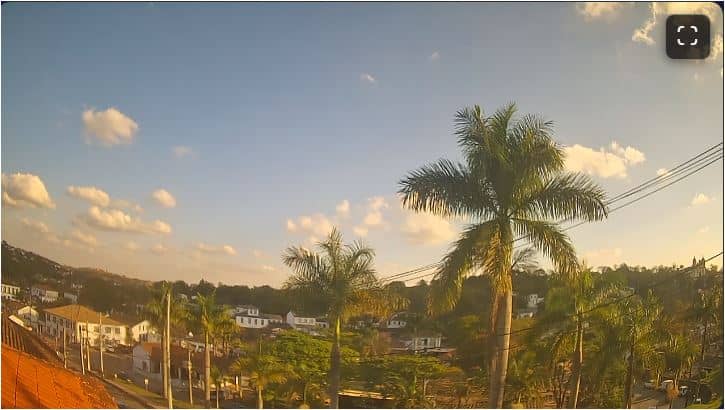
Minas Gerais, Brazil — 193 km
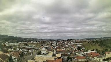
Minas Gerais, Brazil — 202 km
The current conditions and a three-day forecast for Itabira are shown in the weather block on this page. They update with the page, so you can compare them with what the live stream shows.
The local time for Itabira is displayed on this page. Brazil has several time zones, and the clock shown here follows the zone used in Minas Gerais.
The camera is in Itabira, Minas Gerais, at an altitude of about 726 metres. The map on this page marks its position, and the nearest other cameras are listed below the player.
Daylight hours give the clearest picture. In the dry season, from May to September, skies are usually more open, while in the wet season afternoon clouds and storms are more likely.
Partner links: we may earn a commission at no extra cost to you.