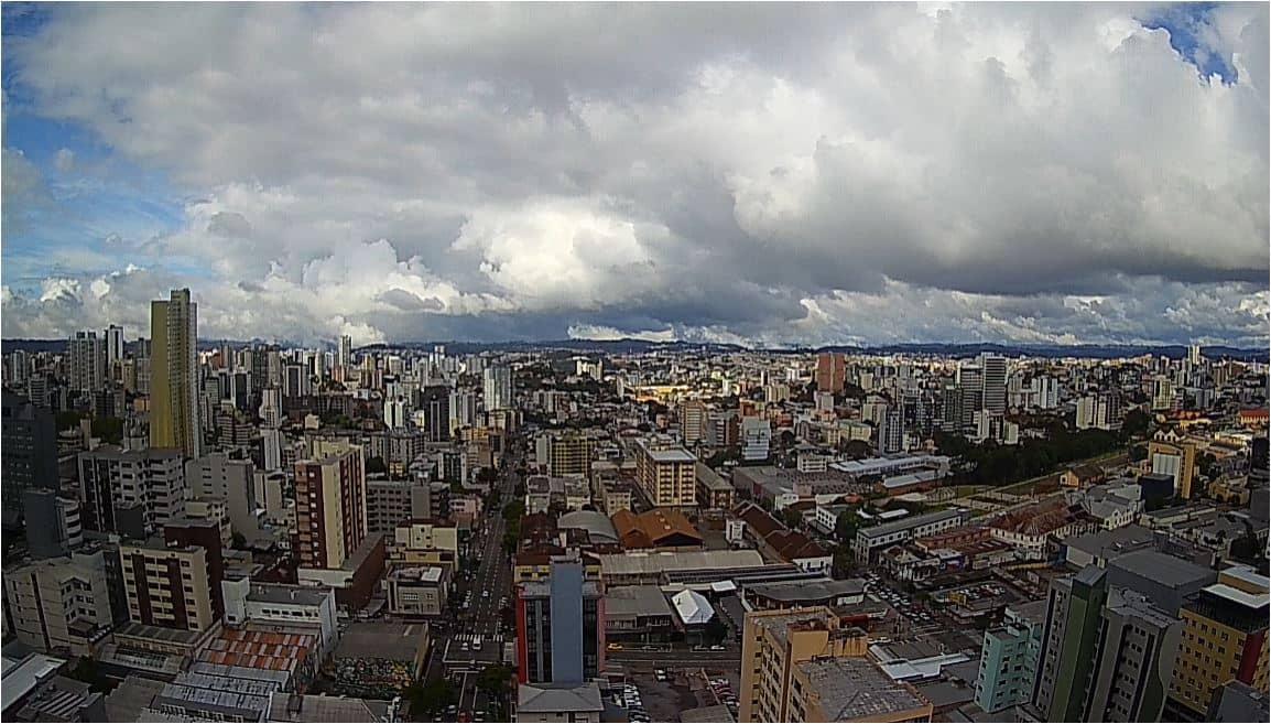
Caxias do Sul
Rio Grande do Sul, Brazil — 3 km
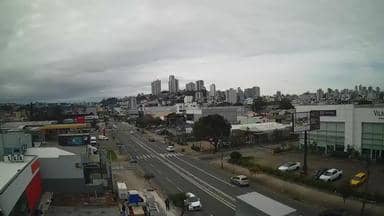
Caxias do Sul - Av Rubem Bento Alves - Bitcom - Leste
🇧🇷 Rio Grande do Sul · Brazil — Altitude 721 m
This live stream looks along Avenida Rubem Bento Alves in Caxias do Sul, a city in the hills of Rio Grande do Sul. It is useful if you want to see the street and sky before a trip, or simply check how the city looks right now. The page also shows local time and the weather forecast for the city.
Caxias do Sul is one of the largest cities in the interior of Rio Grande do Sul, sitting at roughly 720 metres above sea level on the Serra Gaúcha plateau. The city grew from Italian immigrant settlements and is known for its wine, its food culture and its strong industrial base. Rolling hills, vineyards and wooded valleys surround the urban area, giving the region a distinctly cooler feel than the coastal lowlands.
Because the camera is aimed along a city avenue, the view is mainly about traffic, buildings and the sky above the street. The image is most informative during the working day, when traffic flow reflects city life, and in the early morning or late afternoon when light is softer. Cloud cover and rain can quickly change the scene, so the live weather block on this page is a good companion to the picture.
The Serra Gaúcha has a subtropical climate with four distinct seasons. Winters are cool and occasionally bring frost or light fog, while autumn and spring are usually the most comfortable times to visit. Caxias do Sul is reachable by road from Porto Alegre, and nearby cameras in Farroupilha and Nova Petrópolis show other parts of the region.
Source: climaaovivo.com.br
Rio Grande do Sul, Brazil — 3 km
Rio Grande do Sul, Brazil — 15 km
Rio Grande do Sul, Brazil — 15 km
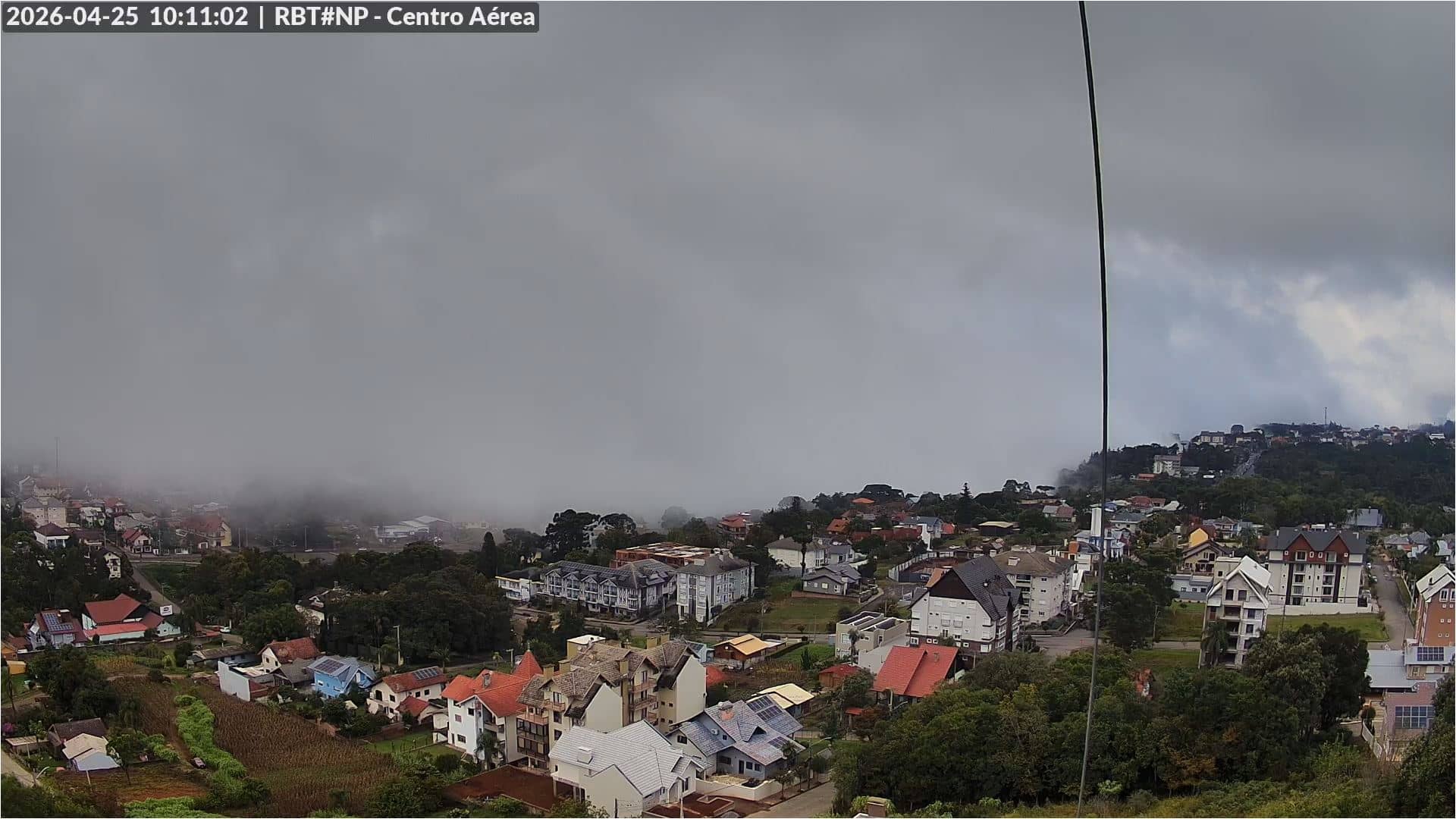
Rio Grande do Sul, Brazil — 26 km
Rio Grande do Sul, Brazil — 26 km
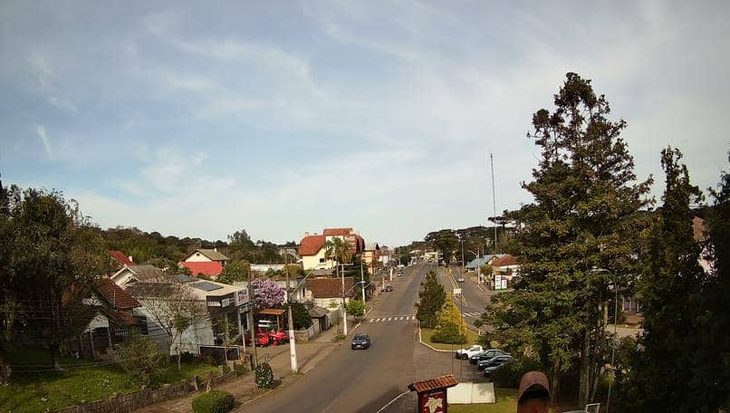
Rio Grande do Sul, Brazil — 27 km
Rio Grande do Sul, Brazil — 35 km
Rio Grande do Sul, Brazil — 38 km

Rio Grande do Sul, Brazil — 40 km
Rio Grande do Sul, Brazil — 40 km
The current conditions and a 3-day forecast for Caxias do Sul are shown in the weather block on this page. The values update so you can compare the sky in the camera view with the forecast.
The local time for Caxias do Sul is displayed on this page. It follows Brazil's time zone for the state of Rio Grande do Sul, so you can match it with your own clock before watching.
The camera looks along Avenida Rubem Bento Alves in Caxias do Sul, at about 721 metres altitude. A map on the page marks its position within the city.
Weekday daytime is usually the most active, when traffic is busiest. Early morning and late afternoon give softer light for viewing the street and sky.
Partner links: we may earn a commission at no extra cost to you.