Rio Branco - Centro - Roberto Feres - Leste
Acre, Brazil — 451 km

Porto Velho - Slaviero Essential Porto Velho - Norte
🇧🇷 Rondônia · Brazil — Altitude 84 m
This live camera looks out over the northern part of Porto Velho, the capital of Rondônia state in western Brazil. The stream is provided by its owner and embedded here so you can check the view as it happens. It is useful for anyone wanting a quick look at conditions in this Amazon-edge city before a trip or call.
Porto Velho sits on the Madeira River in the western Amazon basin, at a low altitude of roughly 84 metres. It grew up around the river and the railway built to bypass the rapids, and today it serves as the administrative and commercial centre of Rondônia. The surrounding landscape is dense rainforest, wide river channels and open savanna pockets, and the city has a relaxed, river-town atmosphere shaped by its hot, humid climate.
The title points to a northern view tied to a hotel location in the city, so the picture is most likely of urban streets, rooftops and passing traffic. Daylight hours show the most detail, and the afternoon often brings heavy clouds and sudden tropical rain. Depending on the view, you may also see the sky changing quickly in the wet season, which can make for dramatic moments on screen.
Porto Velho has a hot, humid tropical climate with rain concentrated in the summer months, roughly from November to April. The drier months from May to October are generally more comfortable for visiting, though temperatures remain high year round. The city has an airport with domestic connections and is reached by road and river, so checking the live view and local weather here can help you plan timing.
Source: climaaovivo.com.br
Acre, Brazil — 451 km

Mato Grosso, Brazil — 679 km
Amazonas, Brazil — 760 km

Mato Grosso, Brazil — 823 km
Madre de Dios, Peru — 855 km
Mato Grosso, Brazil — 867 km

Mato Grosso, Brazil — 877 km
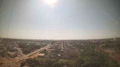
Mato Grosso, Brazil — 896 km
Cusco Region, Peru — 1028 km
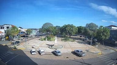
Mato Grosso, Brazil — 1057 km
The current conditions and a three-day forecast for Porto Velho are shown in the live weather block on this page, updated automatically. Use it to see temperature, humidity and rain chances before you watch the stream.
The local time for Porto Velho is displayed on this page and updates live. Brazil has several time zones, and this one is shown directly so you do not need to convert it yourself.
The camera is at the northern side of Porto Velho in the state of Rondônia, Brazil, at roughly 84 metres above sea level. The map on this page shows the approximate position within the city.
Daylight hours give the clearest picture, and the late afternoon in the rainy season often brings cloud build-up and storms. Check the live weather first if you want to see the sky at its most active.
Partner links: we may earn a commission at no extra cost to you.