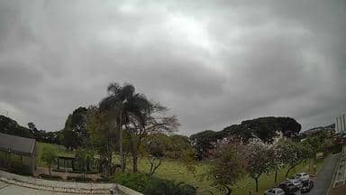
Guarulhos - Cemitério Primaveras I - Noroeste
São Paulo, Brazil — 3.1 km
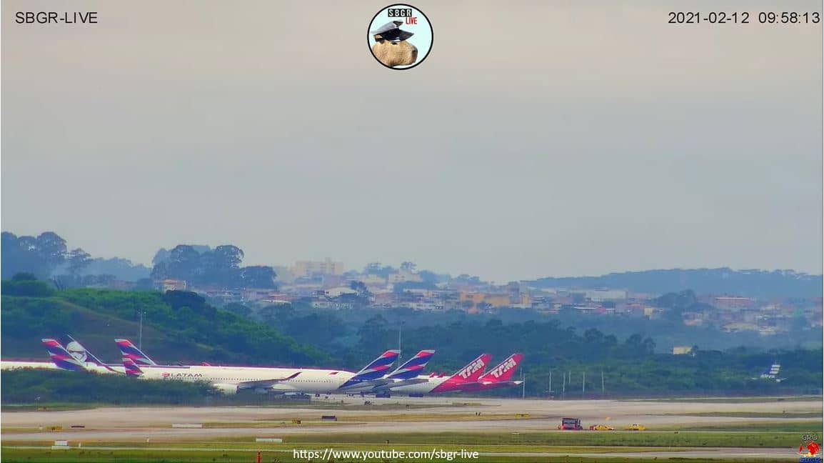
São Paulo - Aeroporto Internacional de Guarulhos
🇧🇷 São Paulo · Brazil — Altitude 746 m
This live stream looks out over Guarulhos International Airport, the main gateway to São Paulo and one of the busiest airports in South America. It is useful for checking how traffic is moving on the apron and runways before a flight, or for seeing the weather over the airfield in real time.
Guarulhos lies in the metropolitan area northeast of São Paulo, at an altitude of about 750 metres. It handles most of the city's long-haul and international flights, and it is the airport most travellers arriving in São Paulo will use. The surrounding area is a dense mix of suburbs, industrial zones and major road links into the city centre, so the airport acts as a busy hub at the edge of one of the largest urban regions in the world.
Depending on the view, the stream may show aircraft taxiing, taking off and landing, along with airport vehicles and terminal activity. Flight movements tend to be heaviest during the daytime and early evening, when many long-haul departures and arrivals are scheduled. Rain showers are common in the wet season from late spring into early autumn, and they can change how the apron looks within minutes.
São Paulo has a subtropical climate with warm, humid summers and mild, drier winters, so the most comfortable months for a visit are generally April to June and August to October. Getting from Guarulhos to the city centre usually takes a considerable time because of road traffic, so allow extra time. Nearby on VizCams you can open the Sampa Sky camera over the city, and the Rio Hotel by Bourbon cameras in São Paulo.
Source: SBGR
São Paulo, Brazil — 3.1 km
São Paulo, Brazil — 21 km
São Paulo, Brazil — 22 km
São Paulo, Brazil — 22 km
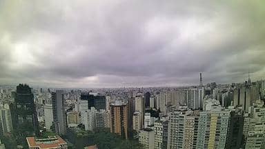
São Paulo, Brazil — 23 km
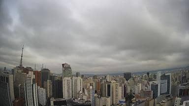
São Paulo, Brazil — 23 km
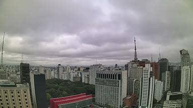
São Paulo, Brazil — 24 km
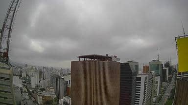
São Paulo, Brazil — 24 km
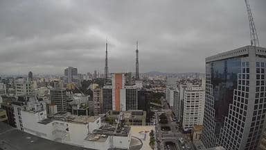
São Paulo, Brazil — 24 km

São Paulo, Brazil — 29 km
The current conditions and the three-day forecast for the airport are shown in the live weather block on this page. They update automatically, so you can check visibility and rain before you head out.
The local time for the airport is displayed on this page and follows Brasília time. It is shown live, so you do not need to convert it yourself.
The camera is at Guarulhos International Airport, about 25 kilometres northeast of central São Paulo. The map on this page marks its exact position so you can see the airport layout around it.
Daytime and early evening usually bring the most aircraft movements, as many long-haul flights are scheduled then. Watching on a clear morning or late afternoon also gives the best visibility over the airfield.
Partner links: we may earn a commission at no extra cost to you.