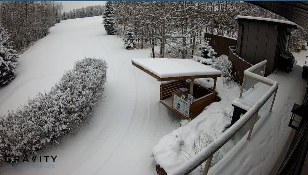
Water Valley
Alberta, Canada — 102 km
🇨🇦 Alberta · Canada — Altitude 860 m
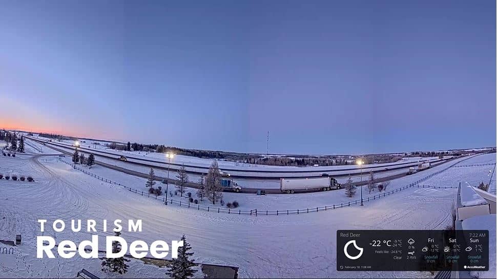
This live camera looks over Red Deer, a city in central Alberta between Edmonton and Calgary. The stream comes from Red Deer Tourism and is embedded here with a link to the source. Use it to get a sense of the city's current conditions before you travel or plan your day.
Red Deer sits on the Red Deer River at roughly 860 metres above sea level, on the edge of the prairie where the parkland begins to rise toward the Rocky Mountains. It is one of Alberta's larger cities and serves as a regional hub for agriculture, energy and services. The river valley, with its trails and green spaces, shapes much of the city's character and gives it a more wooded feel than the open plains around it.
The view is most useful for judging the weather: prairie skies change quickly, and you can see whether it is clear, overcast or snowing. Daylight hours are long in summer and short in winter, so the picture is brightest in the middle of the day during the warmer months. Check it in the morning on a travel day to see how conditions are developing before you head out.
Red Deer has a continental climate with warm summers and cold, dry winters, and it can see sudden shifts in temperature and wind. The best time to visit is generally from late May to September. The city is easy to reach by road along the Queen Elizabeth II Highway. For nearby views, the cameras at Water Valley, Leduc and Widcat are all within a few hours' drive.
Source: Red Deer Tourism
Alberta, Canada — 102 km
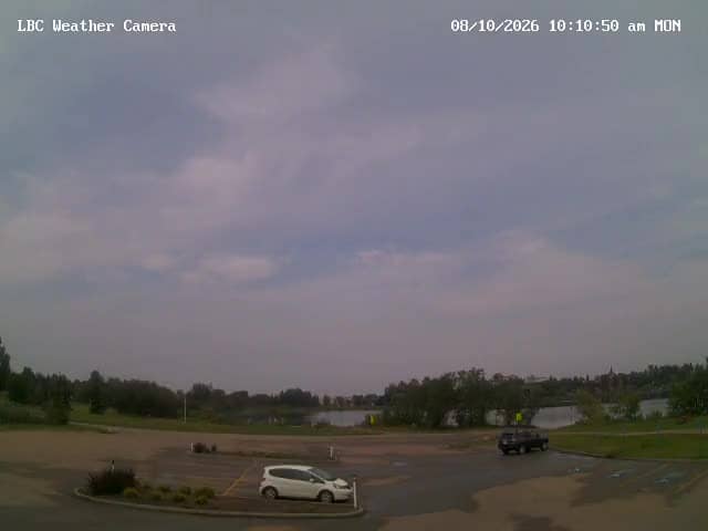
Alberta, Canada — 112 km
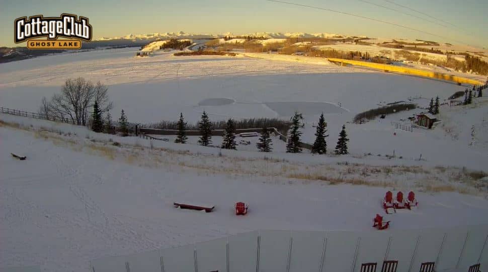
Alberta, Canada — 133 km
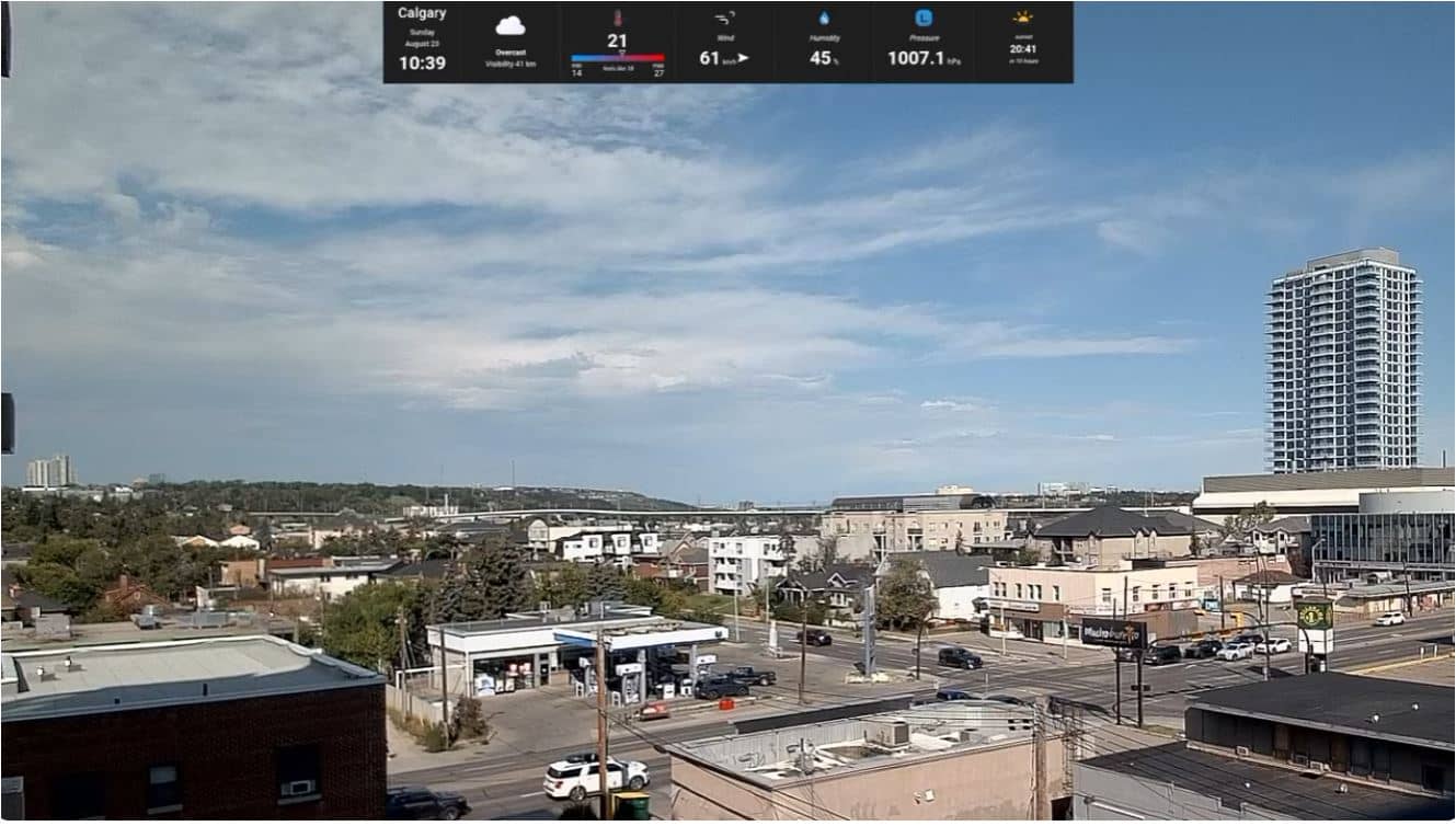
Alberta, Canada — 138 km
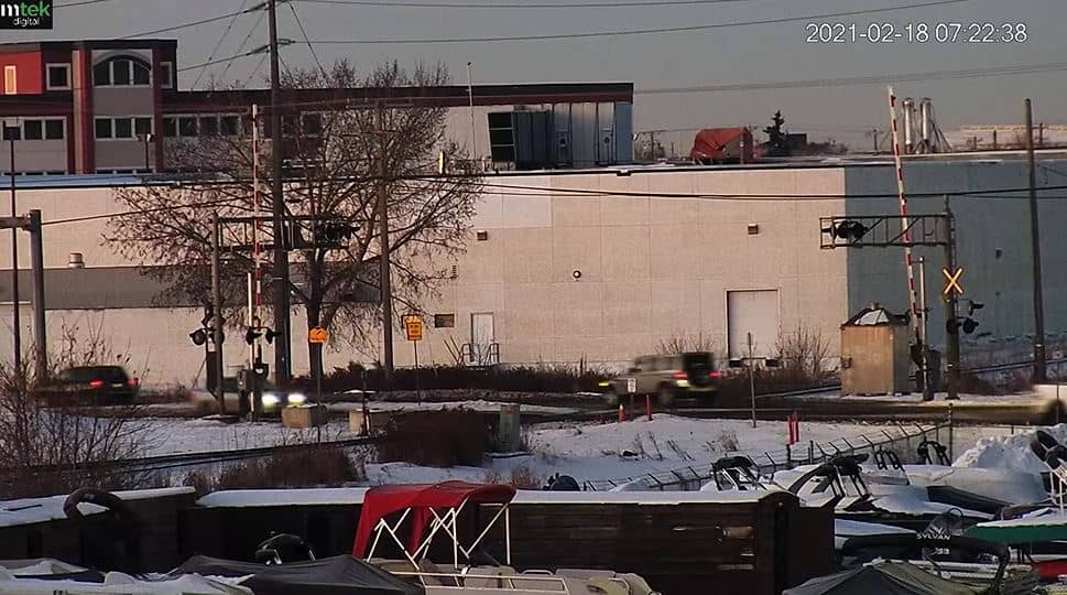
Alberta, Canada — 141 km
Alberta, Canada — 144 km
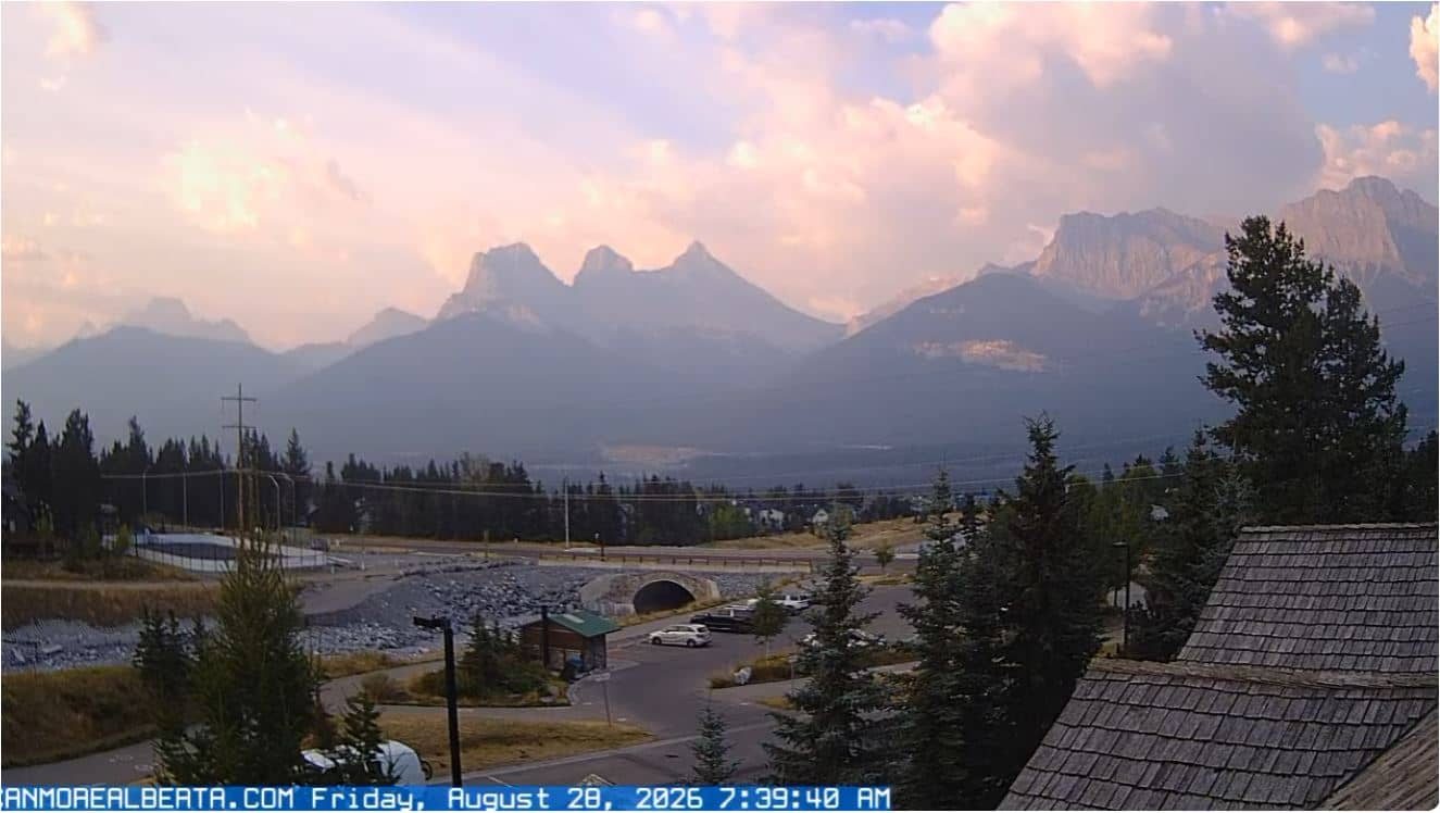
Alberta, Canada — 166 km
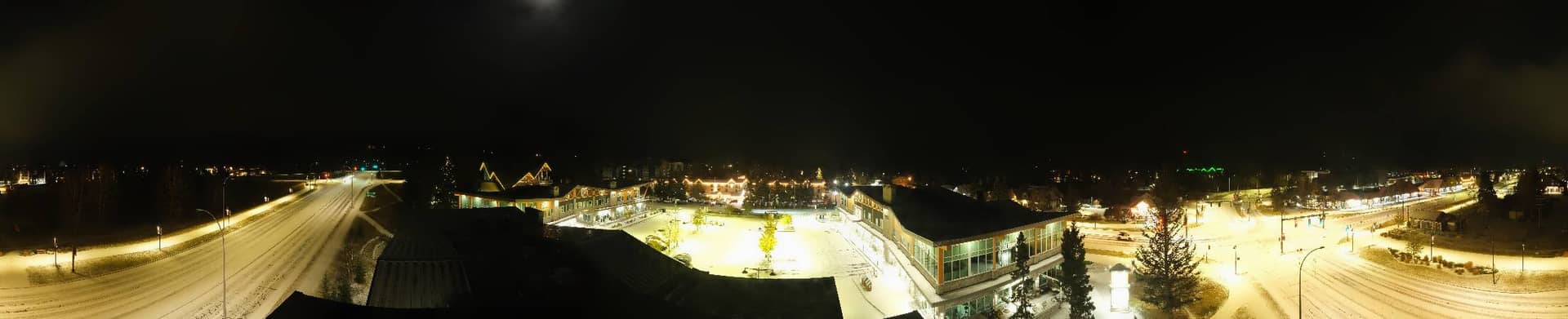
Alberta, Canada — 167 km
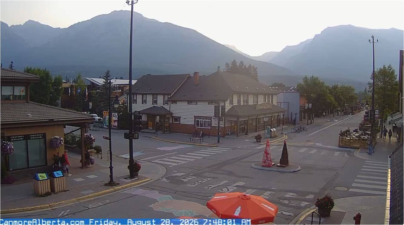
Alberta, Canada — 167 km
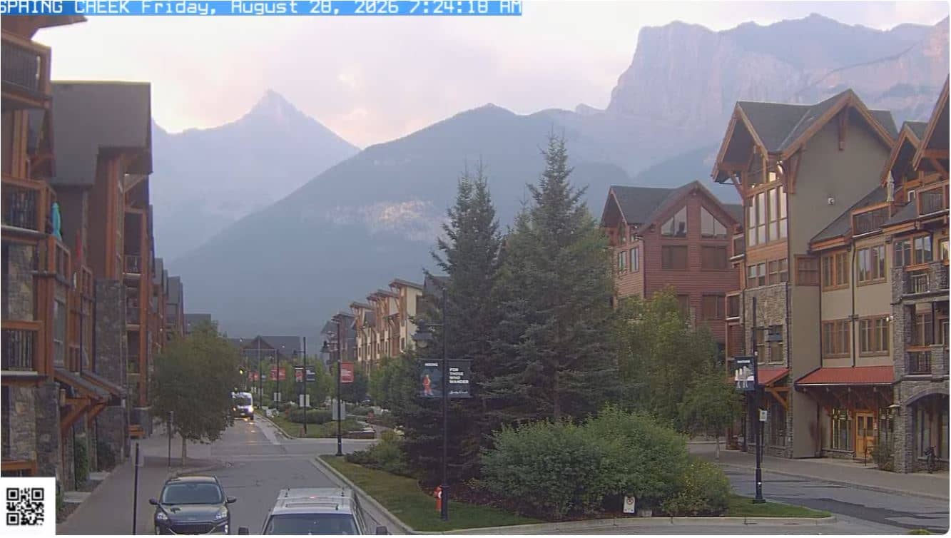
Alberta, Canada — 167 km
The current conditions and a 3-day forecast are shown in the live weather block on this page. They update automatically, so you can compare what the camera shows with the numbers.
The local time for Red Deer is displayed on this page and follows the city's own time zone, so you do not need to convert it yourself.
The camera is in Red Deer, Alberta, Canada, at about 52.28 degrees north and 113.88 degrees west. The map on this page marks its position.
Daytime is best for seeing the landscape and sky, and summer gives the clearest views. Winter streams are useful for checking snow and road conditions.
Partner links: we may earn a commission at no extra cost to you.