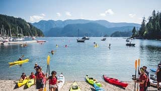
North Saanich - Deep Cove, Vancouver, Canada
British Columbia, Canada — 27 km
Saturna Island - Live
🇨🇦 British Columbia · Canada — Altitude 126 m
This live view looks out over Saturna Island, one of the quieter Gulf Islands between Vancouver Island and the mainland coast. It is a good way to check conditions on the water and sky before planning a crossing or a day outdoors. The stream is provided by its owner and embedded here with a link back to the source.
Saturna Island sits in the southern Gulf Islands of British Columbia, surrounded by the Salish Sea. It is one of the least developed islands in the group, known for forested hills, rocky shorelines, farmland and a small rural community. Ferries reach nearby islands, but Saturna itself is reached mainly by a ferry from Tsawwassen and a short drive across the island. The landscape is shaped by the sea, with calm channels, sheltered bays and views toward the mountains of the mainland and the islands of Washington State.
Because this is a nature camera, the most interesting moments usually come with changing light. Early morning and late afternoon bring soft colours to the water and hills, while clear days make distant islands and shipping traffic easier to follow. Weather matters a great deal here: fog, wind and rain can move in quickly, so the live view is useful for judging visibility. Seasonal changes in cloud cover and sea conditions also shape what you may notice from one visit to the next.
The climate is mild and wet for most of the year, with the driest and sunniest weather typically in summer. Late spring through early autumn is the most popular time to visit the Gulf Islands, though ferry schedules and availability should be checked in advance. Saturna is small and rural, so services are limited and it is best to plan fuel, food and accommodation before arriving. Nearby cameras on Friday Harbor, San Juan Island and Deep Cove in North Saanich give a sense of the wider region.
Source: myearthcam.com
British Columbia, Canada — 27 km
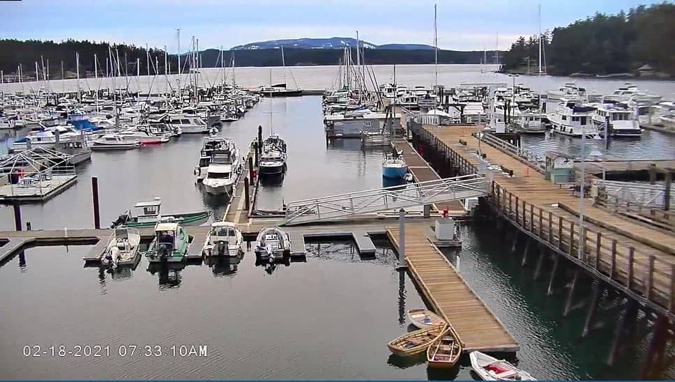
Washington, United States — 29 km

Washington, United States — 29 km
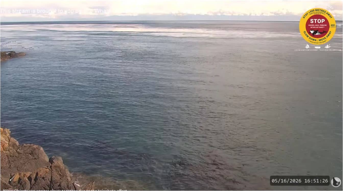
Washington, United States — 30 km
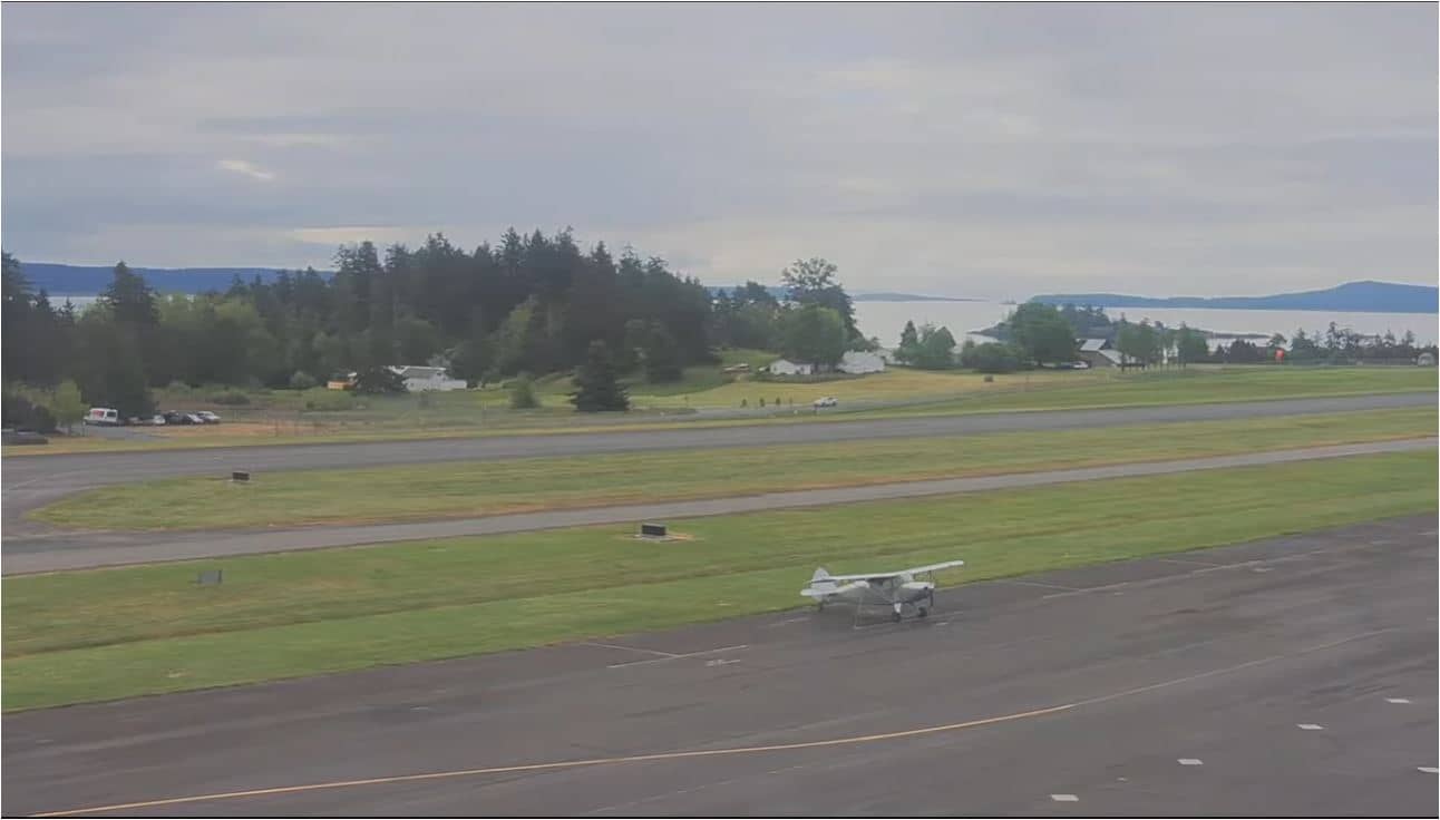
Washington, United States — 31 km
British Columbia, Canada — 36 km
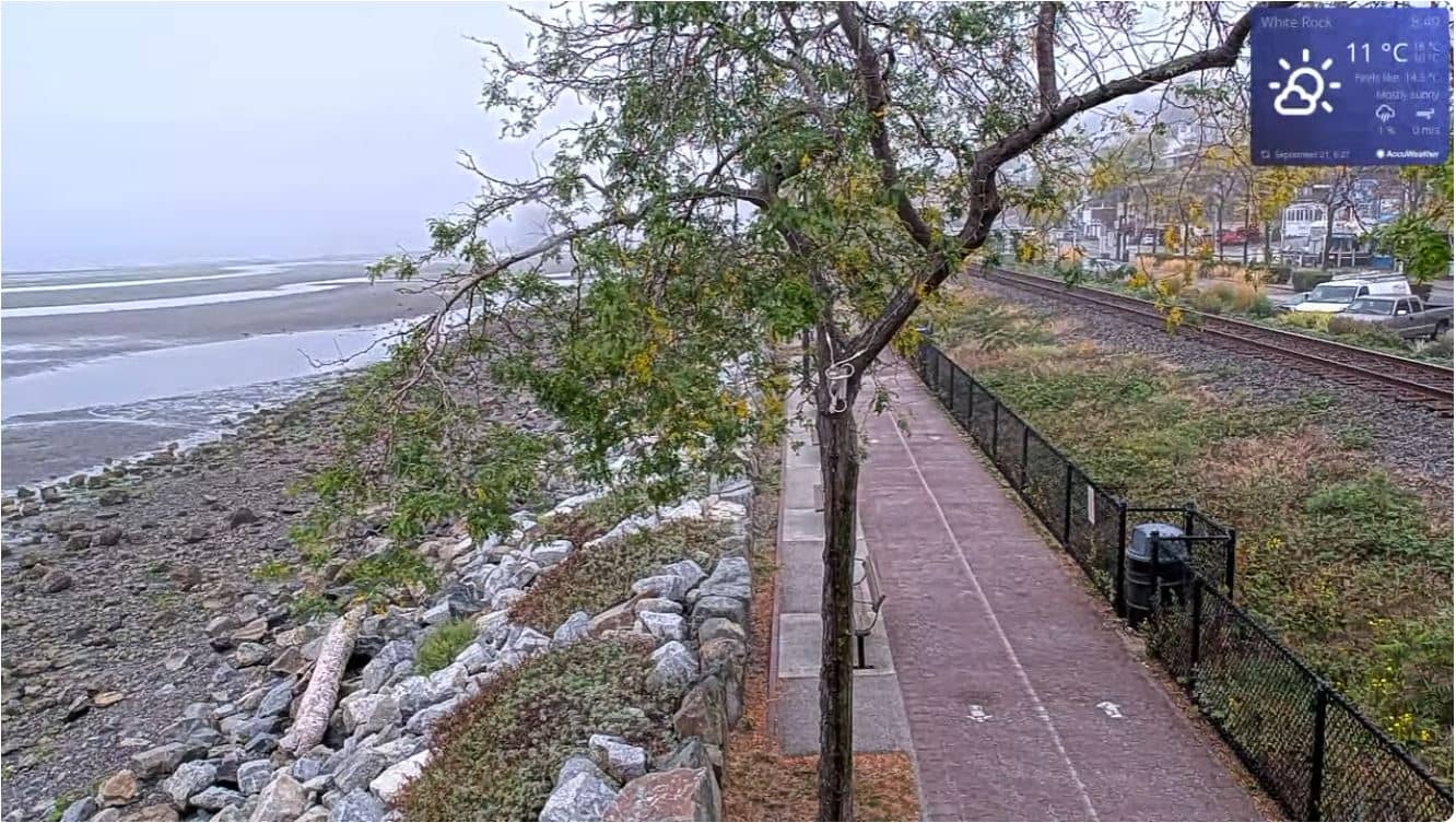
British Columbia, Canada — 36 km
British Columbia, Canada — 41 km
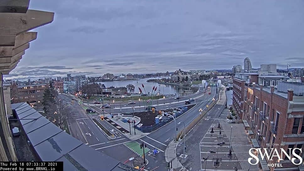
British Columbia, Canada — 43 km
British Columbia, Canada — 43 km
The current conditions and a 3-day forecast are shown in the live weather block on this page. The island has a mild, wet climate, so checking before any crossing is worthwhile.
The local time is displayed on this page and updates automatically. Saturna follows Pacific time, the same zone as Vancouver.
The camera is located on Saturna Island in British Columbia, Canada, at about 48.79 north and 123.15 west. A map on the page shows its position among the Gulf Islands.
Early morning and late afternoon often give the softest light on the water and hills, and clear days offer the longest visibility. Check the weather block to see whether conditions are favourable.
Partner links: we may earn a commission at no extra cost to you.