Montreal - sylpare
Quebec, Canada — 7.7 km
Montreal
🇨🇦 Quebec · Canada — Altitude 20 m
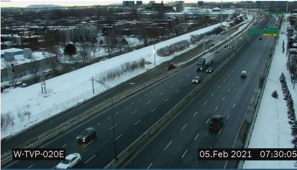
This live camera looks at the Samuel-De Champlain Bridge, a major crossing over the Saint Lawrence River near Montreal. It is useful for checking traffic flow and river conditions before you travel into or out of the city. The page also shows local time and the weather in Montreal.
Montreal sits on an island in the Saint Lawrence River in the Quebec province of Canada, and it is the second largest city in the country. The city is known for its mix of French and English culture, its historic old town and its many bridges that link the island to the surrounding shores. The river here is wide and busy, carrying shipping traffic through the heart of the region. Its geography makes bridges essential, so the crossings are a central part of daily life.
The view centres on the bridge and its approaches, so you can judge how heavy the traffic is and how the river looks. Depending on the view, you may also notice the water surface, shipping and the city skyline in the distance. Mornings and late afternoons on weekdays are usually when the roads are busiest. Winter weather brings snow and ice, which can change how the crossing looks and moves.
Montreal has warm, humid summers and cold winters with heavy snowfall, so the best time to visit is late spring through early autumn. The city has a metro system, buses and bike lanes, which make it easy to get around without a car. Other cameras in the wider area include Mont-Royal, which overlooks the city, and Trudeau Airport, which is useful if you are planning a flight.
Source: Pont Samuel-De Champlain Bridge
Quebec, Canada — 7.7 km
Quebec, Canada — 7.7 km
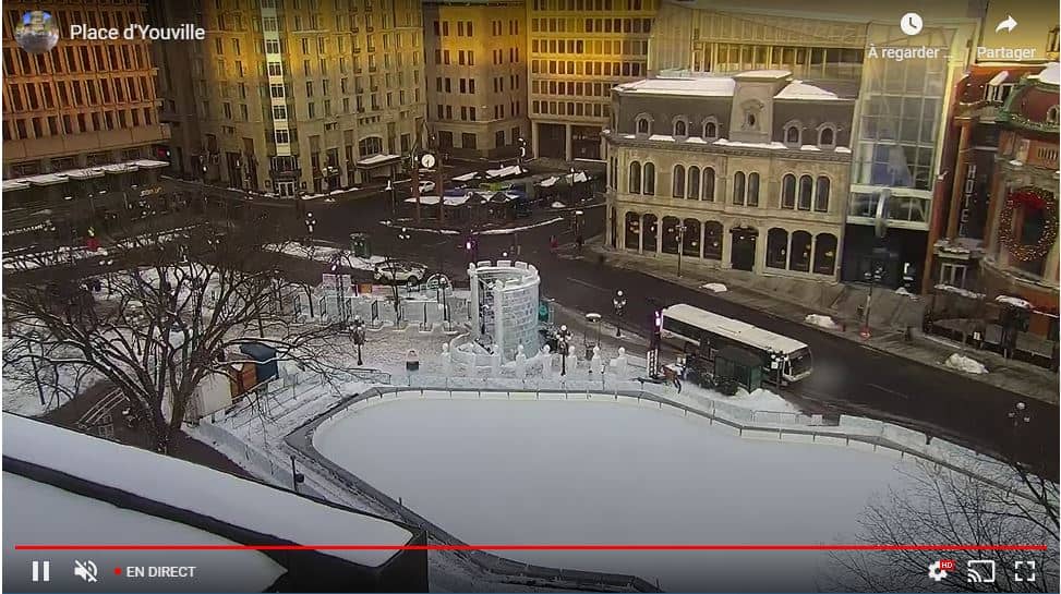
Quebec, Canada — 15 km
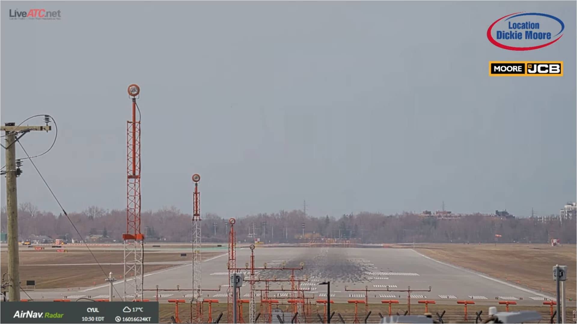
Quebec, Canada — 20 km
Quebec, Canada — 54 km
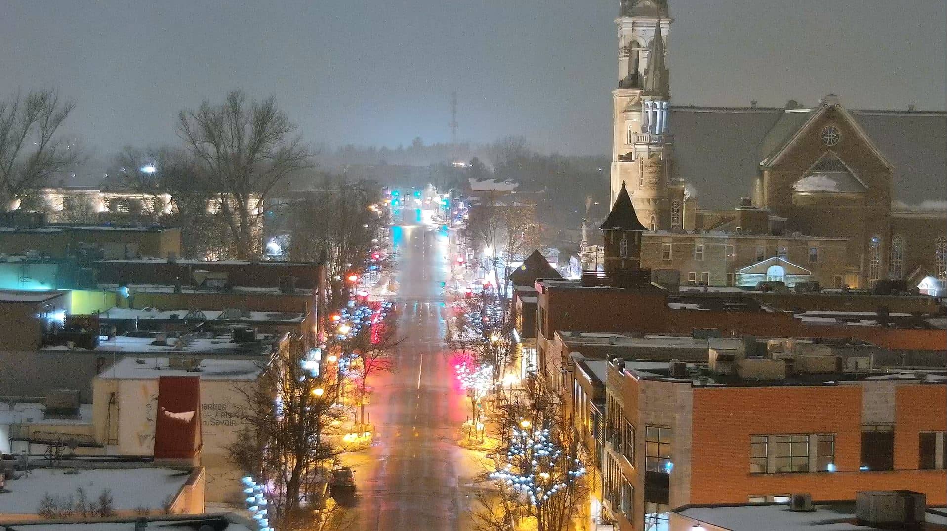
Quebec, Canada — 54 km
Quebec, Canada — 71 km
Quebec, Canada — 84 km
New York, United States — 103 km
Vermont, United States — 104 km
The current weather and a three-day forecast for Montreal are shown in the live block on this page, updated as the data refreshes. Check it before crossing the river in bad conditions.
The local time in Montreal is displayed on this page and follows the Eastern time zone used in Quebec, with daylight saving changes applied automatically.
The camera is aimed at the Samuel-De Champlain Bridge, which crosses the Saint Lawrence River in the Montreal area. A map on the page shows its position.
Weekday rush hours show the heaviest traffic, while winter snow and fog can change the view a lot. Check the live stream during the time of day that matters for your plans.
Partner links: we may earn a commission at no extra cost to you.