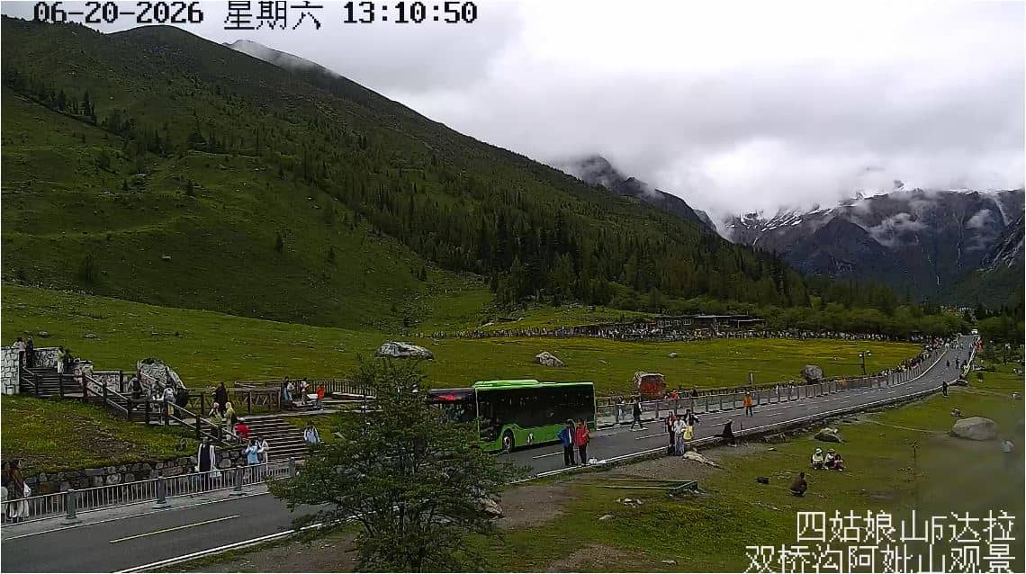
Mont Abi
Sichuan, China — 10 km
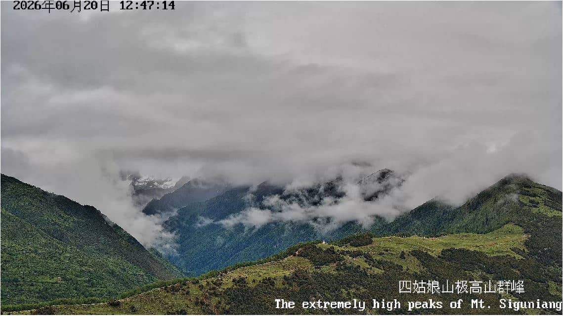
🇨🇳 Sichuan · China — Altitude 6240 m
This live camera looks at Mont Siguniang, one of the most striking peaks of the Minya Konka range in western Sichuan. The stream is hosted by the Siguniang Geopark and lets you check how the mountain looks from its valley side in real time. It is a useful window for anyone planning a trip or simply curious about high alpine conditions.
Mont Siguniang rises to about 6,240 metres in the Qionglai and Minya Konka region of Sichuan, close to the Tibetan plateau edge. It is known for its sharp, glaciated summit, often called the Four Sisters because of its several peaks, and for the forested valleys and meadows at its base. The surrounding area is part of the Siguniang Geopark, a landscape shaped by glaciers, rivers and steep relief.
The view is most rewarding in clear weather, when the upper ridges and snow fields are fully visible. Mornings often bring the sharpest light, while cloud tends to build over the peaks in the afternoon, so you may see the summit appear and disappear. Seasonal change is strong here, with autumn colours in the lower forests and heavy snow on the high faces in winter.
Conditions at this altitude change quickly, and temperatures can drop sharply even in summer, so check the live weather block before planning any excursion. The nearest camera is Mont Abi, about 10 km away, and the Gengda Wolong Grove Panda Yard camera lies roughly 28 km off. Chengdu, the regional capital, is about 127 km away and is the usual gateway for travellers.
Source: sgnsgeopark.cn
Sichuan, China — 10 km
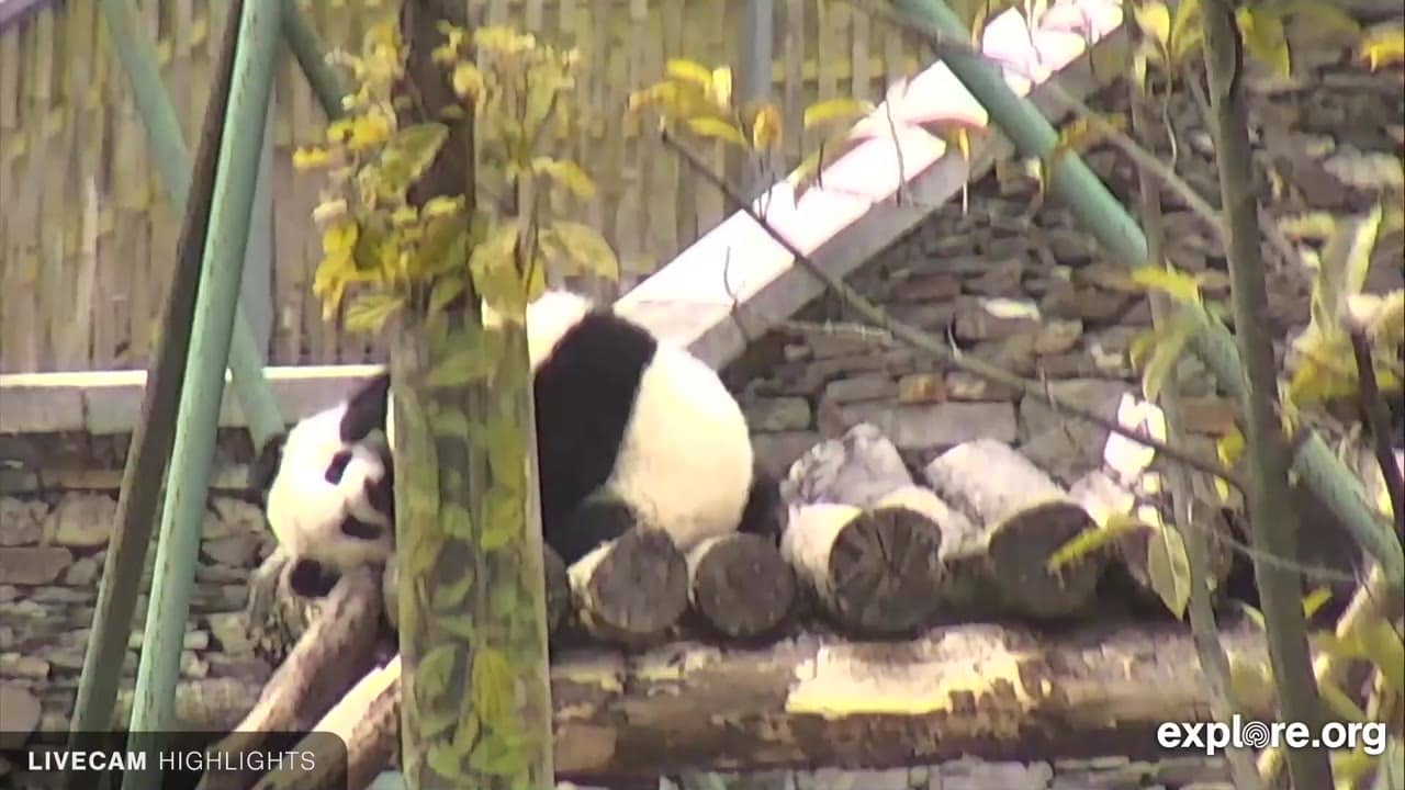
Sichuan, China — 28 km

Sichuan, China — 127 km
Gansu, China — 385 km
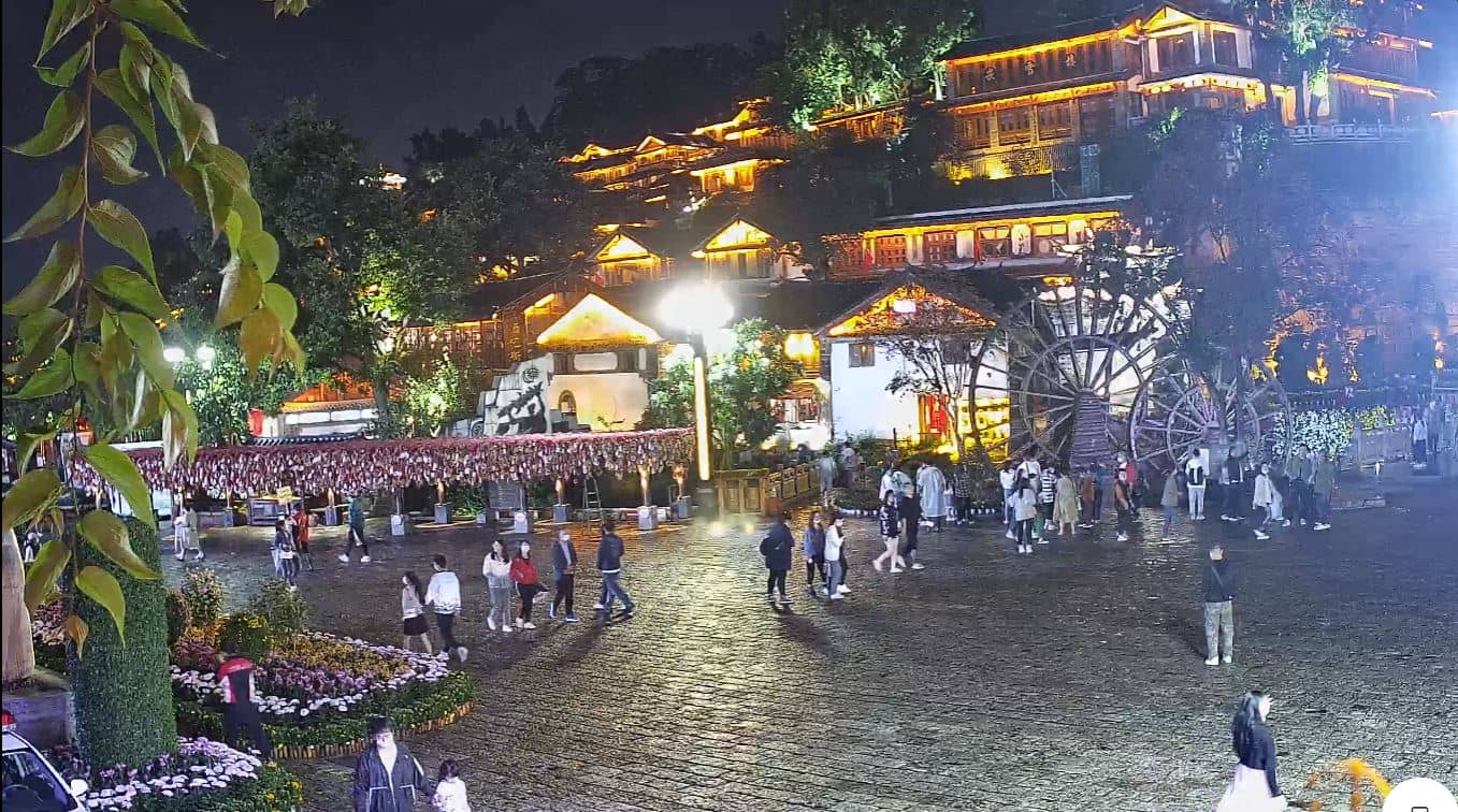
Yunnan, China — 539 km
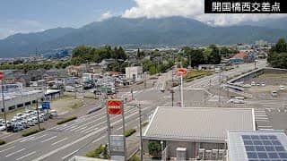
Yunnan, China — 670 km
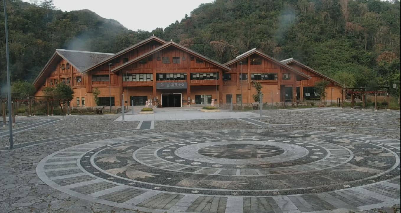
Yunnan, China — 792 km
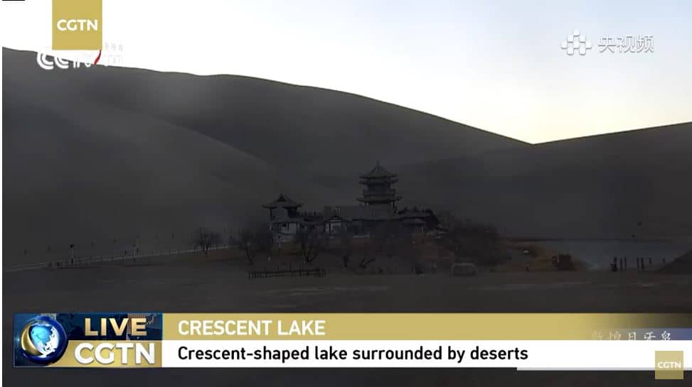
Hubei, China — 1082 km
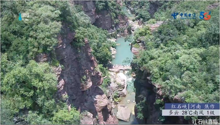
Henan, China — 1084 km
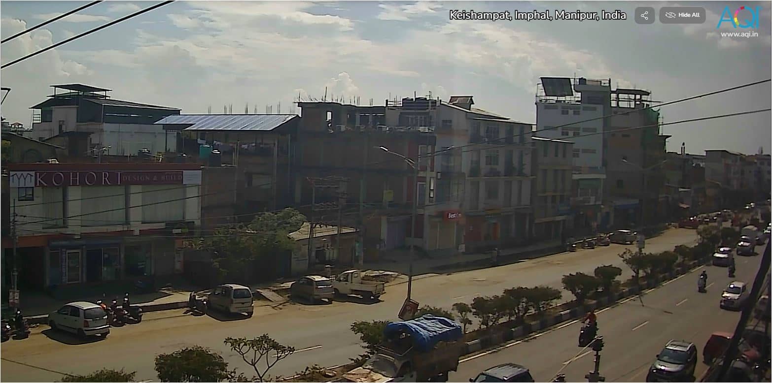
Manipur, India — 1123 km
The current conditions and a three-day forecast are shown in the weather block above the stream. Because the peak is above 6,000 metres, conditions can differ strongly from those in nearby valleys.
The camera is located in Sichuan Province in western China, in the Siguniang area, at approximately 31.11 degrees north and 102.89 degrees east. A map on the page shows the position.
Clear mornings and autumn or winter days are often the most rewarding, when the summit is most likely to be visible. Cloud frequently gathers in the afternoon, so checking the live view early in the day helps.
The local time for the area is shown on the page, based on China Standard Time. It updates automatically so you can plan around daylight and weather.
Partner links: we may earn a commission at no extra cost to you.