Mladé Buky
Hradec Králové Region, Czechia — 5.9 km
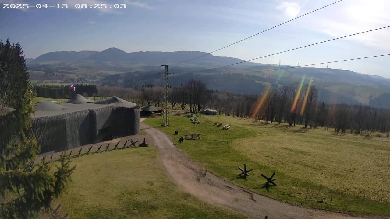
Žacléř - Forteresse Stachelberg
🇨🇿 Hradec Králové Region · Czechia — Altitude 639 m
This live stream looks out over Žacléř, a small town in the Krkonoše foothills of northeastern Bohemia, with the Stachelberg fortress area in view. Watch it to check the mountain-edge weather before a walk or to see how the light changes over the valley.
Žacléř sits at roughly 640 metres in the Hradec Králové Region, close to the Polish border and the Giant Mountains. The town grew around coal mining and textile work, and its surroundings are known for forested hills and old industrial heritage. Stachelberg is a 19th-century fortification built to guard the Silesian approaches, so the site combines military history with open countryside.
The title names the fortress, so the view is most likely framed around its walls and the slopes below, though the exact frame may change with weather and the owner's setup. Clear mornings tend to give the best visibility over the valley, while autumn colours and winter snow often make the hills the main attraction. Evening views can be quieter, and fog settling in the valley is common at this altitude.
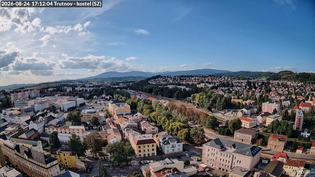
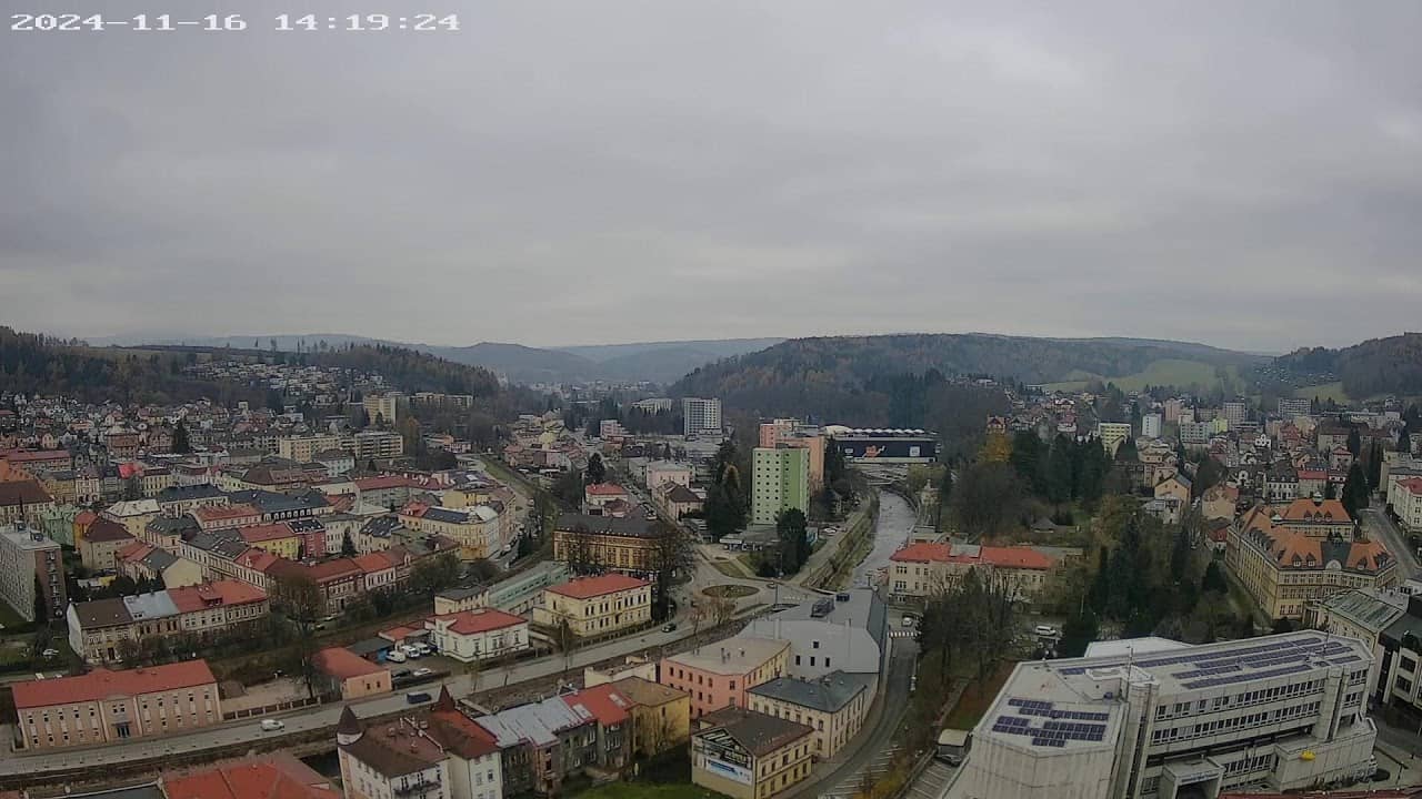
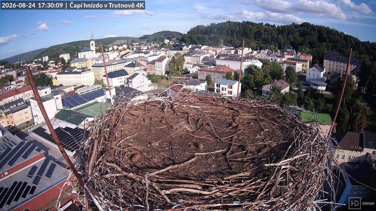
Winters here are cold and snowy, summers are mild, and the upland position means weather can shift quickly. Late spring and early autumn are comfortable for walking. The nearby cameras in Mladé Buky and Trutnov show neighbouring views within about eight kilometres, which helps you compare conditions across the area before you travel.
Source: HD internet s.r.o.
Hradec Králové Region, Czechia — 5.9 km
Hradec Králové Region, Czechia — 7.7 km
Hradec Králové Region, Czechia — 7.7 km
Hradec Králové Region, Czechia — 7.7 km
Hradec Králové Region, Czechia — 11 km
Hradec Králové Region, Czechia — 11 km
Hradec Králové Region, Czechia — 11 km
Hradec Králové Region, Czechia — 11 km
Hradec Králové Region, Czechia — 12 km
Hradec Králové Region, Czechia — 12 km
The current conditions and a three-day forecast for Žacléř are shown in the live weather block on this page, updated automatically alongside the stream.
The local time for Žacléř is displayed on this page, so you can check it against your own time before scheduling a call or visit.
The camera is in Žacléř in the Hradec Králové Region of the Czech Republic, at about 640 metres altitude. The map on this page marks its position.
Clear mornings and the autumn and winter seasons usually give the most readable views of the hills and fortress surroundings, though fog can reduce visibility at any time.
Partner links: we may earn a commission at no extra cost to you.