Pustevny
Moravian-Silesian Region, Czechia — 3.6 km
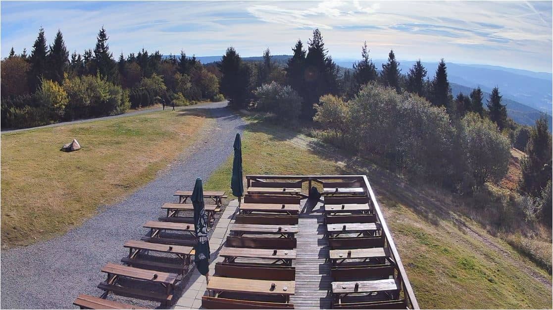
Radhošť - Sommet - Vue est (východ)
🇨🇿 Moravian-Silesian Region · Czechia — Altitude 1129 m
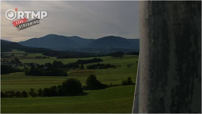
This camera sits on the summit of Radhošť, a forested peak in the Moravian-Silesian Beskids, and points toward the east. It is named for the sunrise view, so the stream is most useful when you want to see how the morning light and the weather are developing over the hills. The page adds local time and current conditions next to the live picture.
Radhošť is a 1,129 metre mountain in the Beskydy range, close to the border area between Moravia and Silesia in the Czech Republic. It is best known as a traditional pilgrimage and folk heritage site, with a wooden chapel and the Pustevny area nearby. The landscape is a mix of spruce and beech woodland, meadows and long ridges that roll away toward the Slovak border. The atmosphere is quiet and rural, shaped by hiking trails rather than large crowds.
The camera looks east, so the view is most interesting around sunrise, when the first light reaches the ridges and the valleys below. Cloud banks, morning mist in the hollows and changes in visibility are typical here and can make the scene look quite different from one hour to the next. Clear winter mornings can bring crisp light across the snow, while summer evenings are better checked on the weather block. Depending on the view at the moment, you may see walkers, the summit structures or distant hill silhouettes.
The Beskydy mountains have a cool, changeable climate, with snow usually lying from winter into early spring and warm, showery weather in summer. Late spring and early autumn are often the most comfortable seasons for walking. Nearby, the Pustevny area is about four kilometres away and is a common starting point for trails, and the village of Dolní Bečva and the town of Rožnov pod Radhoštěm lie within roughly five to seven kilometres. These cameras are useful for checking conditions before you travel.
The live player shows the current stream from the summit. Local time and the weather forecast are shown alongside so you can judge whether the conditions will suit your plans. The stream belongs to its owner and is embedded here with a link to the original source.
Source: hvfree.net
Moravian-Silesian Region, Czechia — 3.6 km
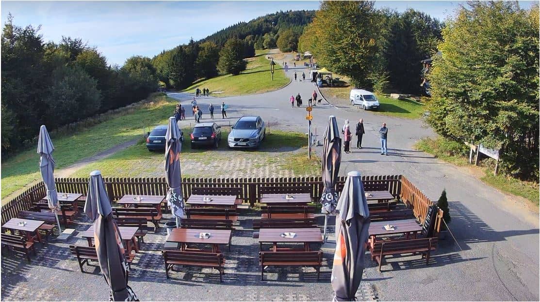
Moravian-Silesian Region, Czechia — 3.6 km
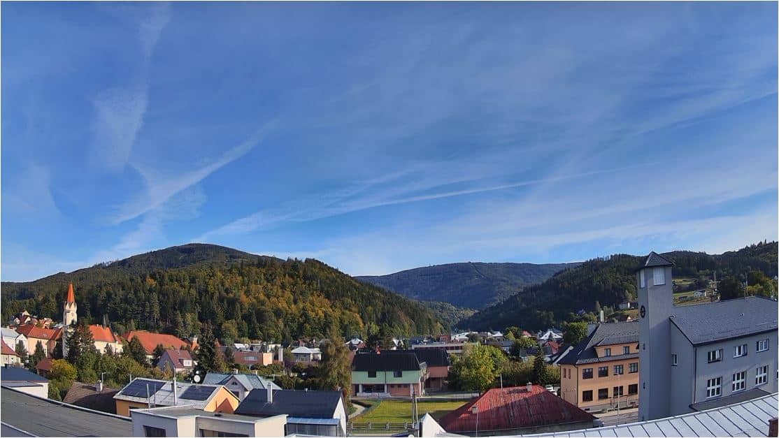
Zlín Region, Czechia — 4.6 km
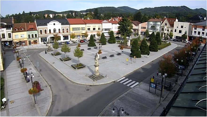
Zlín Region, Czechia — 6.6 km
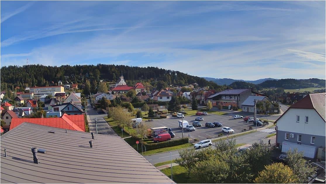
Zlín Region, Czechia — 7 km
Moravian-Silesian Region, Czechia — 7.2 km
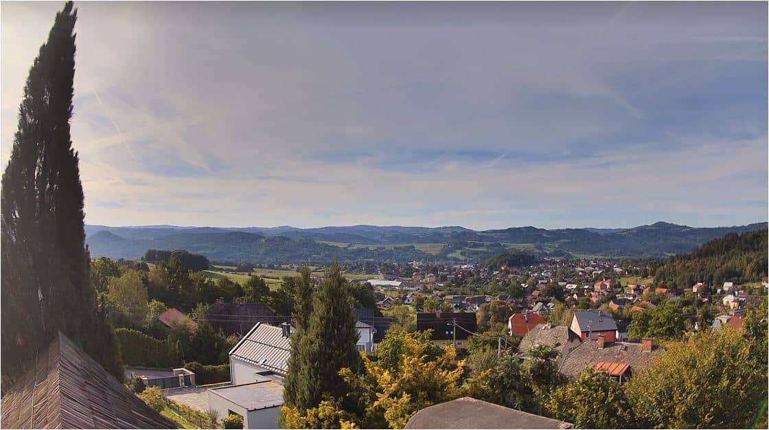
Zlín Region, Czechia — 9.5 km
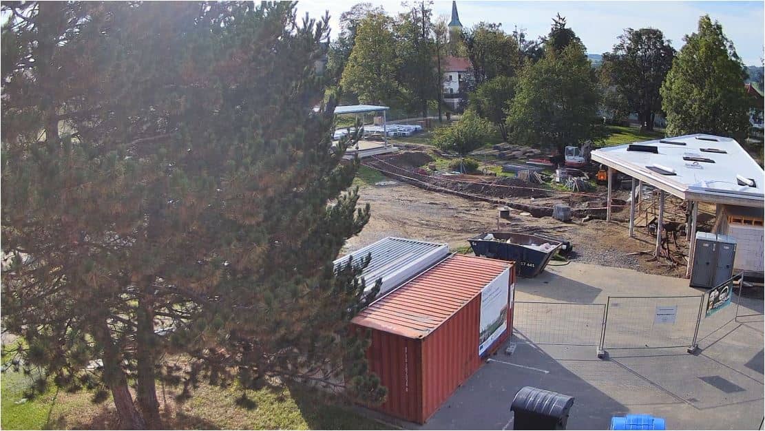
Zlín Region, Czechia — 9.5 km

Moravian-Silesian Region, Czechia — 11 km
Moravian-Silesian Region, Czechia — 11 km
The current conditions and the three-day forecast for Radhošť are shown in the weather block on this page. Mountain weather can change quickly, so check it shortly before you head out.
The local time for Radhošť, in the Czech time zone, is displayed on this page and updates alongside the live view.
The camera is on the summit of Radhošť at about 1,129 metres altitude in the Moravian-Silesian Region of eastern Czechia. The map on this page marks its position.
Sunrise is the most interesting time, when morning light reaches the ridges. Clear mornings offer the best visibility, though mist and cloud are common in the hills.
Partner links: we may earn a commission at no extra cost to you.