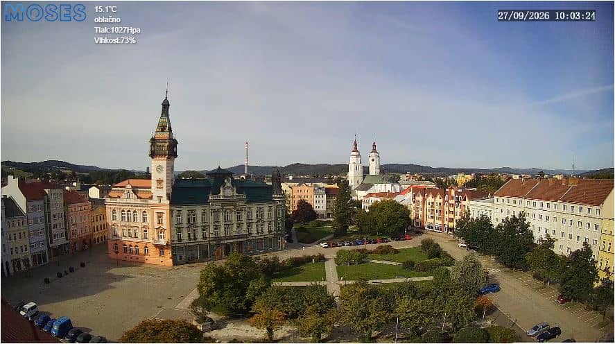
Krnov - Vue sur l’hôtel de ville (radnice)
Moravian-Silesian Region, Czechia — 1.9 km
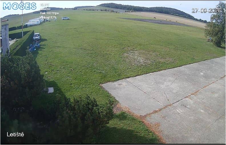
Krnov - Aérodrome (letiště)
🇨🇿 Moravian-Silesian Region · Czechia — Altitude 310 m
This live stream looks over the airfield at Krnov, a town in the hills of the Moravian-Silesian Region in the Czech Republic. It suits anyone curious about small regional aviation, the weather over the Jeseníky foothills, or simply what is happening in Krnov right now.
Krnov sits at the foot of the Jeseníky mountains, roughly 310 metres above sea level, in the northern part of Moravia close to the Polish border. The town is known for its historic centre and its surrounding forested hills, which give the area a quiet, green character. The airfield lies on the edge of town, so the view is largely open land, sky and the line of the hills beyond.
Since the camera shows an airfield, the most interesting moments are usually during daylight, when aircraft movements, if any, are easiest to notice. Changes in cloud, fog rolling down from the hills and seasonal shifts in the fields are good things to watch. Depending on the view and conditions, you may see low cloud sitting on the ridges in autumn and winter, or clear, sharp horizons after a cold front.
Krnov has a continental climate with warm summers and cold, often snowy winters, so the hills are most attractive from late spring to early autumn. For a visit, the nearby town centre and the Jeseníky foothills are easy to combine with a trip to the airfield. Other cameras in the area, including the view of Krnov town hall and the Głubczyce panorama across the border, are useful for comparing conditions.
Source: Ville de Krnov
Moravian-Silesian Region, Czechia — 1.9 km
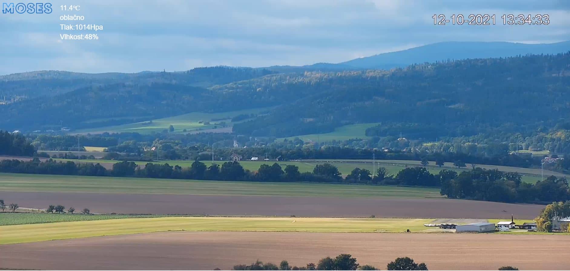
Moravian-Silesian Region, Czechia — 4.4 km
Opole Voivodeship, Poland — 17 km
Moravian-Silesian Region, Czechia — 28 km
Moravian-Silesian Region, Czechia — 28 km
Moravian-Silesian Region, Czechia — 28 km
Moravian-Silesian Region, Czechia — 29 km
Moravian-Silesian Region, Czechia — 30 km
Moravian-Silesian Region, Czechia — 30 km
Opole Voivodeship, Poland — 33 km
The current weather and a three-day forecast for Krnov are shown in the live block on this page and update automatically. They reflect conditions at the camera's location.
The local time for Krnov is displayed on this page and follows the Central European time used in the Czech Republic. The clock updates live alongside the camera.
The camera is located at the Krnov airfield on the edge of the town, at approximately 50.07 N, 17.70 E. A map on this page shows its position relative to the town centre.
Daylight hours give the clearest view, and early mornings in autumn and winter often show fog or low cloud over the hills. Summer evenings are good for seeing the landscape in warm light.
Partner links: we may earn a commission at no extra cost to you.