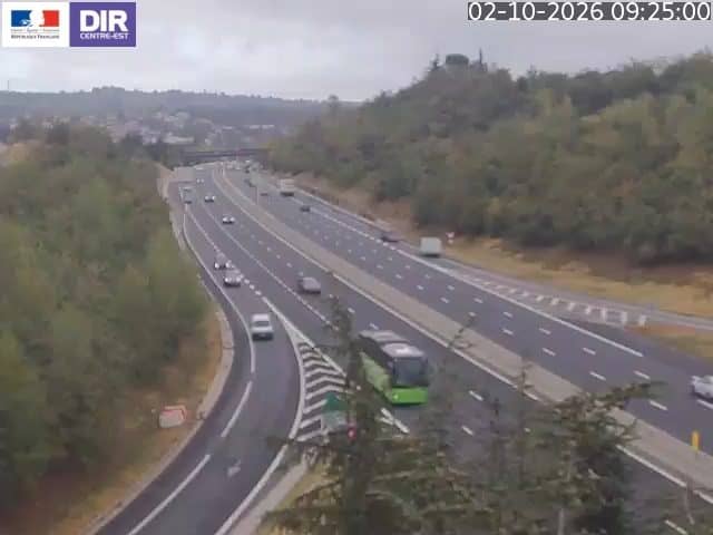
Ternay - A7 PR19+790
Auvergne-Rhône-Alpes, France — 3.6 km
The camera is temporarily offline
The owner's stream is not available right now. Try again later or watch a camera nearby.
Givors - A47 PR3+840
🇫🇷 Auvergne-Rhône-Alpes · France
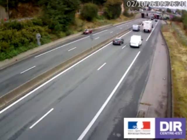
This camera watches a stretch of the A47 motorway at Givors, a town on the Rhône south of Lyon. It is aimed at the road itself, so you can see how traffic is moving before you set off. The page adds local time and weather for the area.
Givors sits where the Gier river meets the Rhône, in the Rhône valley between Lyon and Vienne. The town grew around glassmaking and river trade and is now part of the Lyon metropolitan area. The valley is a major transport corridor, linking the Rhône-Alpes region with the south of France, so the road and rail lines here carry heavy volumes all year.
The feed is a road traffic view of the A47, so the main thing to follow is the flow of vehicles and any slowdowns. Commuting peaks on weekday mornings and late afternoons are usually the busiest periods. Weekends and school holidays can bring extra traffic toward the Alps and the south, so it is worth checking before long journeys.
The climate is temperate, with warm summers and mild winters, though the valley can be windy and fog sometimes forms in cold months. Nearby VizCams cameras on the A7 at Ternay, the A47 at Tartaras and the N7 at Vienne let you compare conditions along the same route. Expect the most reliable live picture in daylight, when the road is clearest.
Source: bison-fute.gouv.fr
Auvergne-Rhône-Alpes, France — 3.6 km
Auvergne-Rhône-Alpes, France — 8.6 km
Auvergne-Rhône-Alpes, France — 11 km

Auvergne-Rhône-Alpes, France — 11 km
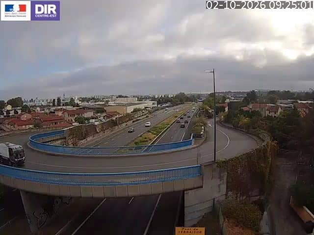
Auvergne-Rhône-Alpes, France — 13 km
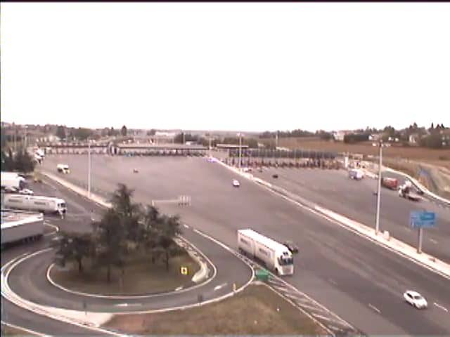
Auvergne-Rhône-Alpes, France — 13 km
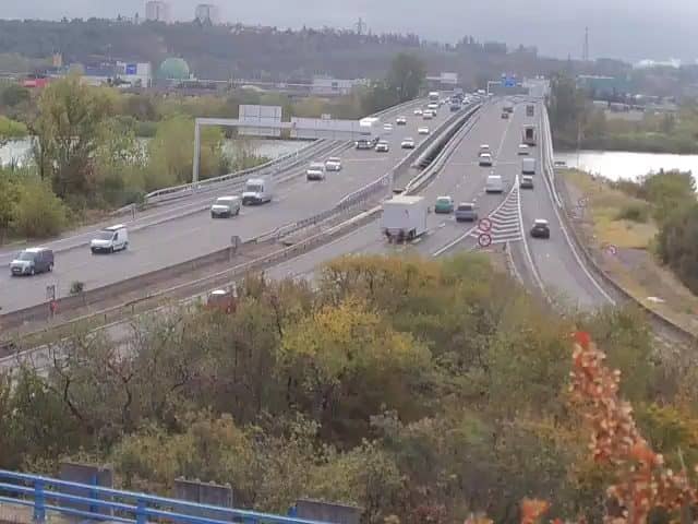
Auvergne-Rhône-Alpes, France — 14 km
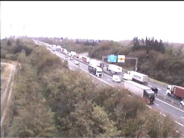
Auvergne-Rhône-Alpes, France — 17 km
Auvergne-Rhône-Alpes, France — 19 km

Auvergne-Rhône-Alpes, France — 20 km
The current conditions and a three-day forecast for Givors are shown in the weather block on this page. They update with the page, so you do not need to search elsewhere.
The local time for Givors is displayed on this page and follows the French time zone, including daylight saving changes. Use the clock block for the exact current time.
The camera is on the A47 motorway near Givors in the Auvergne-Rhône-Alpes region of France, close to the Rhône. The map on this page marks its position.
Weekday mornings and late afternoons usually show the heaviest flow, while midday and evenings are often lighter. Check the live view just before you leave to see the current situation.
Partner links: we may earn a commission at no extra cost to you.