
Saint-Maurice-de-Beynost - A42 gare de Beynost
Auvergne-Rhône-Alpes, France — 4.9 km

The camera is temporarily offline
The owner's stream is not available right now. Try again later or watch a camera nearby.
Décines-Charpieu - La Rize N346 PR32+142
🇫🇷 Auvergne-Rhône-Alpes · France
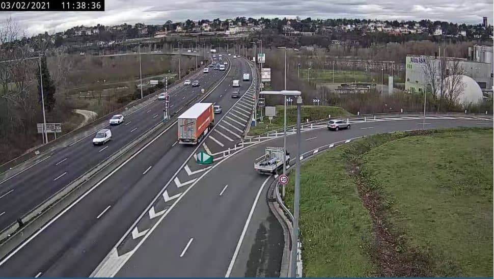
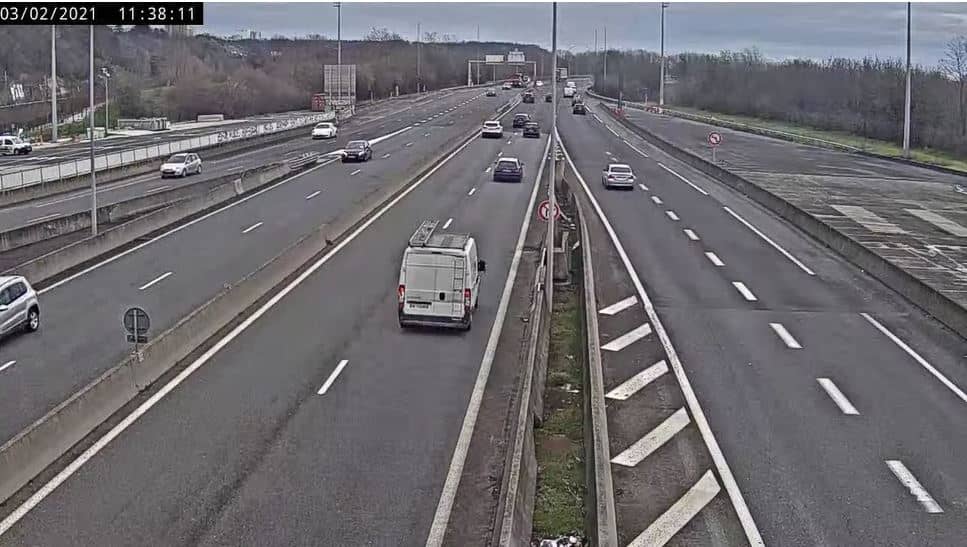
This live stream covers a road junction in Décines-Charpieu, a suburb just east of Lyon in the Rhône valley. It is aimed at drivers and anyone planning a trip through the eastern edge of the city. Use it to judge traffic before you set off.
Décines-Charpieu sits on the eastern fringe of the Lyon metropolitan area, in the Auvergne-Rhône-Alpes region of France. The town is known for its mix of residential streets, business parks and major road links that connect Lyon with the airport and the surrounding communes. The landscape is flat, shaped by the Rhône and Saône rivers that run through the wider region, so the air can feel mild and damp in winter and warm in summer.
The camera is listed as a traffic view, so it is most useful for checking the flow of vehicles on the road rather than scenery. Rush hours on weekday mornings and late afternoons are usually the busiest periods. Weekends and school holidays tend to be quieter. Conditions can change quickly after an accident or roadworks, so a recent look is more helpful than an old one.
Lyon has a temperate climate with warm summers and cool, sometimes foggy winters, so the live weather block on this page is worth checking before a longer drive. The area is close to the A42 and A46 motorways, and several other cameras in the network cover nearby junctions at Beynost, Vaulx-en-Velin and Miribel, which can help you plan an alternative route if this stretch is congested.
Source: bison-fute.gouv.fr
Auvergne-Rhône-Alpes, France — 4.9 km

Auvergne-Rhône-Alpes, France — 5.1 km

Auvergne-Rhône-Alpes, France — 5.1 km

Auvergne-Rhône-Alpes, France — 6.1 km
Auvergne-Rhône-Alpes, France — 6.8 km

Auvergne-Rhône-Alpes, France — 7.4 km

Auvergne-Rhône-Alpes, France — 7.5 km

Auvergne-Rhône-Alpes, France — 8.7 km
Auvergne-Rhône-Alpes, France — 8.7 km

Auvergne-Rhône-Alpes, France — 8.8 km
The live weather block on this page shows the current conditions and a three-day forecast for Décines-Charpieu, updated automatically.
The page shows the current local time for Décines-Charpieu, which follows the French time zone used across mainland France.
The camera is at La Rize on road N346 in Décines-Charpieu, east of Lyon. The map on this page marks its position.
Weekday morning and evening rush hours are the busiest periods on this road, so those times are most useful for checking traffic flow.
Partner links: we may earn a commission at no extra cost to you.