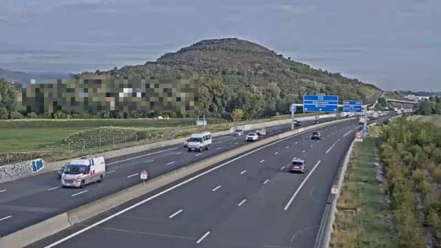
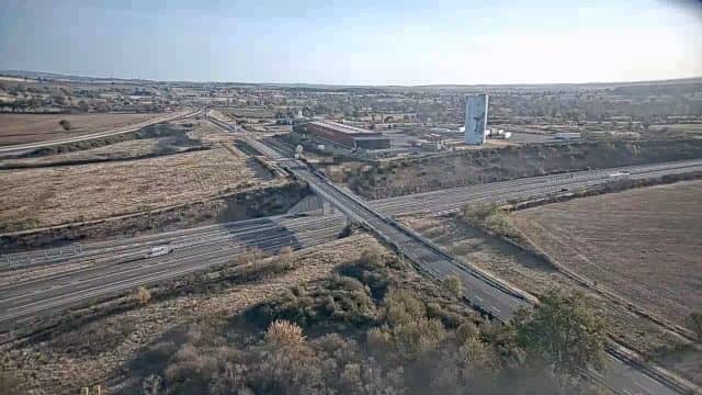
Aubière - A75 Clermont-Ferrand
Auvergne-Rhône-Alpes, France — 4.3 km
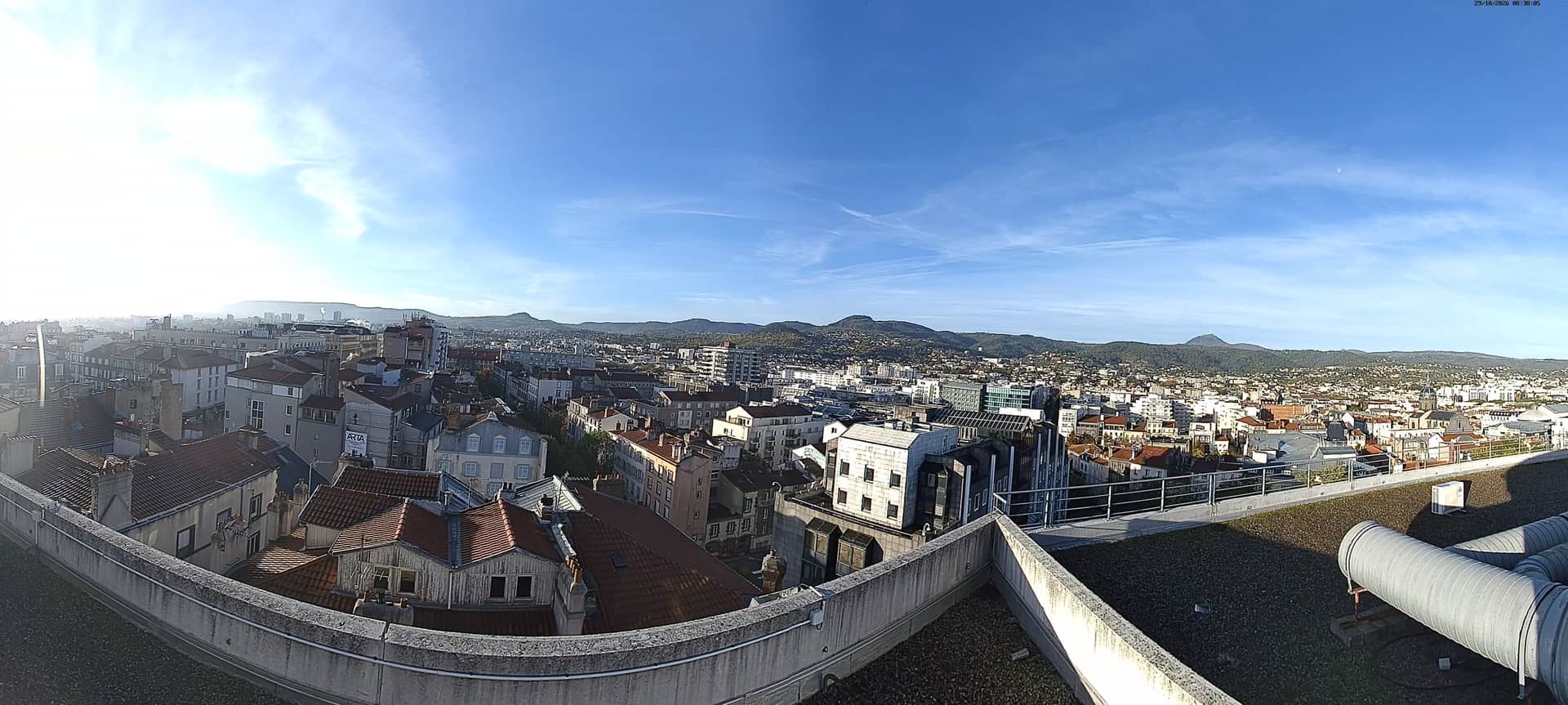
Clermont-Ferrand - Vue sur la chaîne des Puys
🇫🇷 Auvergne-Rhône-Alpes · France — Altitude 431 m
This camera looks out over Clermont-Ferrand toward the Chaîne des Puys, the chain of extinct volcanoes that runs across the Auvergne. It is a useful way to see the sky, the cloud cover and the light on the hills before planning a trip to the city or the surrounding countryside.
Clermont-Ferrand is the largest city in the Auvergne and the seat of the Puy-de-Dôme department. It sits on a plain at about 430 metres above sea level, with volcanic hills rising to the west. The city is known as the home of the Michelin tyre company and as a centre of higher education. Its old quarter is built from dark volcanic stone, which gives the streets a distinctive look. The Chaîne des Puys, a UNESCO-listed volcanic landscape, lies a short drive away and shapes the region's character.
The stream is aimed at the volcanic range, so the most useful thing to watch is the state of the hills and the sky above them. Clear mornings often give the sharpest view of the domes and ridges, while afternoon cloud can build quickly over the mountains. Depending on the framing, you may also see parts of the city in the foreground. Watch in the early morning or late afternoon, when the low light brings out the shapes of the volcanoes most clearly.
Clermont-Ferrand has a continental climate with cold winters, warm summers and noticeable rain in spring and autumn. Late spring and early autumn are generally the most comfortable times to visit the surrounding volcanic countryside. Nearby cameras on this site cover Miremont, Le Mont-Dore, Superbesse and the Puy Mary, which can help you judge conditions in the wider Massif Central before you travel.
Auvergne-Rhône-Alpes, France — 4.3 km
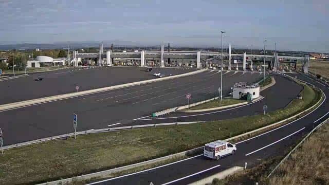
Auvergne-Rhône-Alpes, France — 9.1 km
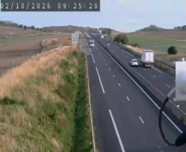
Auvergne-Rhône-Alpes, France — 12 km
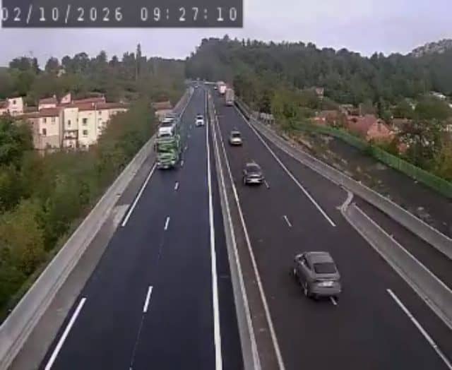
Auvergne-Rhône-Alpes, France — 21 km
Auvergne-Rhône-Alpes, France — 30 km

Auvergne-Rhône-Alpes, France — 31 km
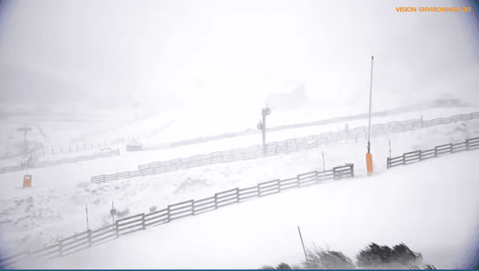
Auvergne-Rhône-Alpes, France — 33 km
Auvergne-Rhône-Alpes, France — 35 km

Auvergne-Rhône-Alpes, France — 50 km
Auvergne-Rhône-Alpes, France — 62 km
The current conditions and a three-day forecast for Clermont-Ferrand are shown in the weather block on this page. They update with the page, so you can check them alongside the live view.
The local time for Clermont-Ferrand is displayed on this page, following French time. It is useful for timing a visit or a call to the city.
The camera is located in Clermont-Ferrand in the Auvergne-Rhône-Alpes region of France, at about 431 metres altitude. The map on this page marks its position for reference.
Early morning and late afternoon usually give the clearest light on the Chaîne des Puys, while clear days in spring and autumn tend to show the most detail in the hills.
Partner links: we may earn a commission at no extra cost to you.