
Aubenas - Vue sur la ville
Auvergne-Rhône-Alpes, France — 13 km
🇫🇷 Auvergne-Rhône-Alpes · France — Altitude 701 m
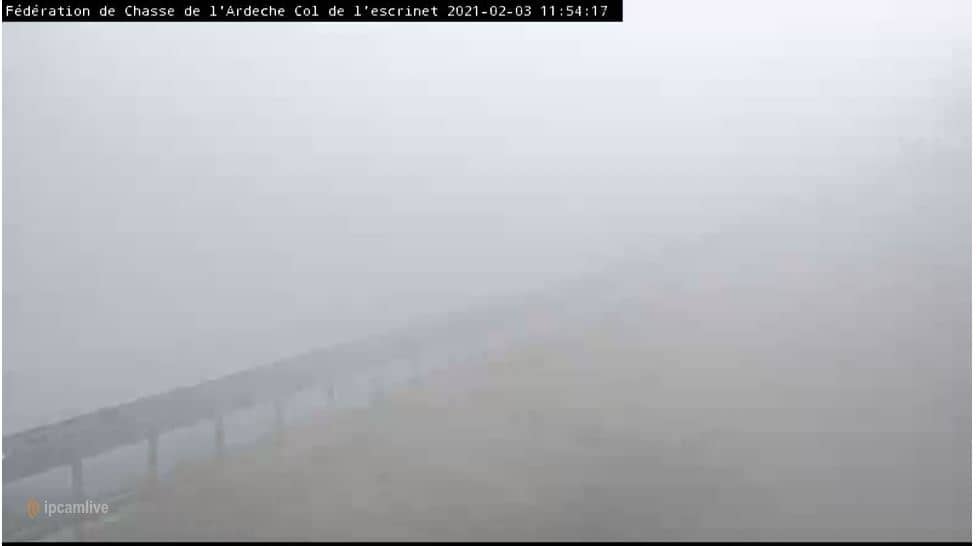
This camera looks out over the Col de l'Escrinet, a mountain pass at about 700 metres in the Ardèche hills of southern France. It suits anyone planning a drive through the area or simply curious about conditions on this upland road.
The Col de l'Escrinet lies in the Monts du Vivarais, part of the wider Massif Central foothills in the Ardèche department. It is a rural crossing between wooded slopes, pastures and small villages, far from large towns. The landscape is green in spring and summer and often shrouded in mist or cloud on damp days, which can change the feel of the pass within minutes.
Because the view is a mountain setting, the most useful thing to check is the sky and visibility: cloud cover, fog, rain or snow can roll in quickly at this altitude. Early mornings and late afternoons often show the best light on the surrounding ridges. Depending on the view, you may also notice road traffic, which helps judge how busy the pass is at a given moment.
The Ardèche uplands have a mix of Mediterranean and continental influences, with warm summers and cooler, wetter winters at higher elevations. Late spring and early autumn are usually the most comfortable times to travel. Other cameras in the region, including La Croix de Bauzon, Venterol and Gimel-le-Haut, can help you compare conditions across the surrounding hills before you set out.
Source: Chasse Ardèche
Auvergne-Rhône-Alpes, France — 13 km

Auvergne-Rhône-Alpes, France — 33 km
Auvergne-Rhône-Alpes, France — 35 km

Occitania, France — 37 km
Auvergne-Rhône-Alpes, France — 37 km
Auvergne-Rhône-Alpes, France — 43 km

Auvergne-Rhône-Alpes, France — 44 km
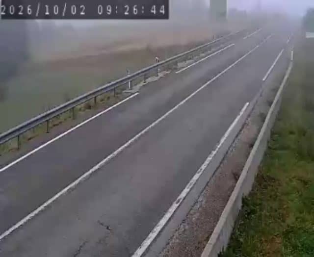
Occitania, France — 48 km
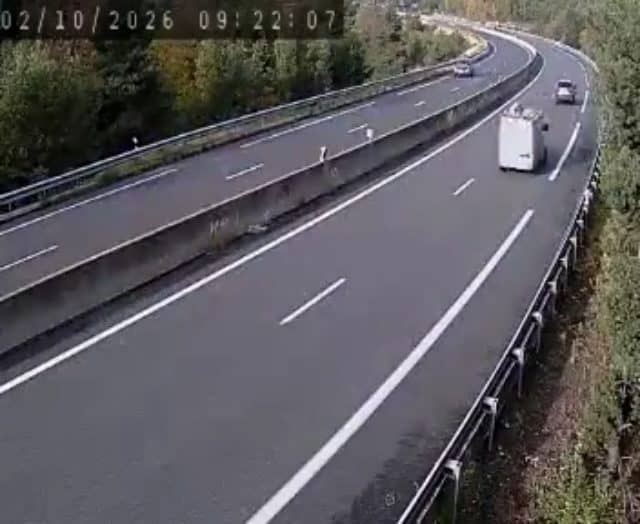
Auvergne-Rhône-Alpes, France — 55 km
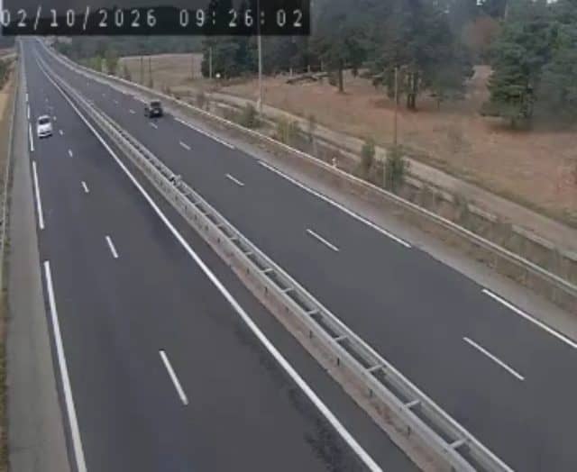
Auvergne-Rhône-Alpes, France — 59 km
The current conditions and a 3-day forecast for this mountain pass are shown in the live weather block on this page. Check it before driving, as altitude can bring fog or cold quickly.
The local time for the camera's location in France is shown on this page and updates automatically. It follows the regional clock, so it may differ from your own time zone.
The camera is at a mountain pass in the Ardèche region of southern France, at about 700 metres altitude. The map on this page marks its position among the surrounding Ardèche hills.
Daylight hours give the clearest view of the surrounding slopes and sky. Check it in the morning if you are planning a drive, since mist often clears as the day warms.
Partner links: we may earn a commission at no extra cost to you.