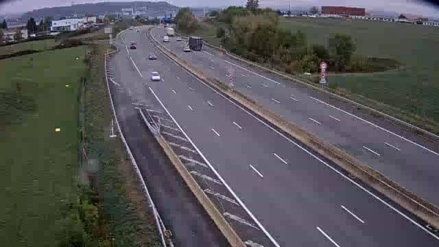
Sochaux - A36 Montbéliard Sud
Bourgogne-Franche-Comté, France — 21 km
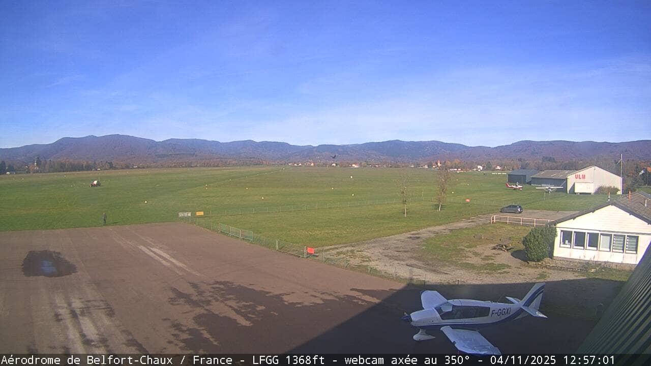
Belfort-Chaux - LFGG
🇫🇷 Bourgogne-Franche-Comté · France — Altitude 409 m
This live stream looks over the Belfort-Chaux airfield, a small general aviation field in the Jura foothills of eastern France. It suits pilots checking conditions before a flight, and anyone curious about how a rural airstrip looks through the day.
Belfort-Chaux sits in the Bourgogne-Franche-Comté region, close to the city of Belfort and near the Swiss border. The landscape is a mix of farmland, woods and gentle hills rising toward the Jura. Ground elevation here is about 410 metres, so the weather can feel cooler and windier than in the lowlands nearby.
The view is centred on the airfield, so the most useful things to watch are the runway surface, the wind and the sky over the field. Morning and late afternoon often bring low sun angles that make cloud and fog easier to read. Depending on the weather, you may see aircraft taking off or landing, though activity varies with the day and season.
The region has a temperate climate with cold winters and warm, sometimes humid summers. Spring and early autumn are typically the calmest periods for flying. Nearby cameras include Oderen, Le Schnepf, Bressaucourt and the Fontenais approach view, which can help you compare conditions across the wider area.
Source: Aeroclubs Belfort
Bourgogne-Franche-Comté, France — 21 km
Grand Est, France — 25 km

Bourgogne-Franche-Comté, France — 32 km
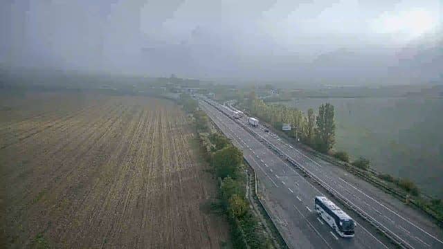
Grand Est, France — 33 km

Canton of Jura, Switzerland — 36 km
Grand Est, France — 36 km
Canton of Jura, Switzerland — 37 km
Canton of Jura, Switzerland — 37 km
Grand Est, France — 40 km
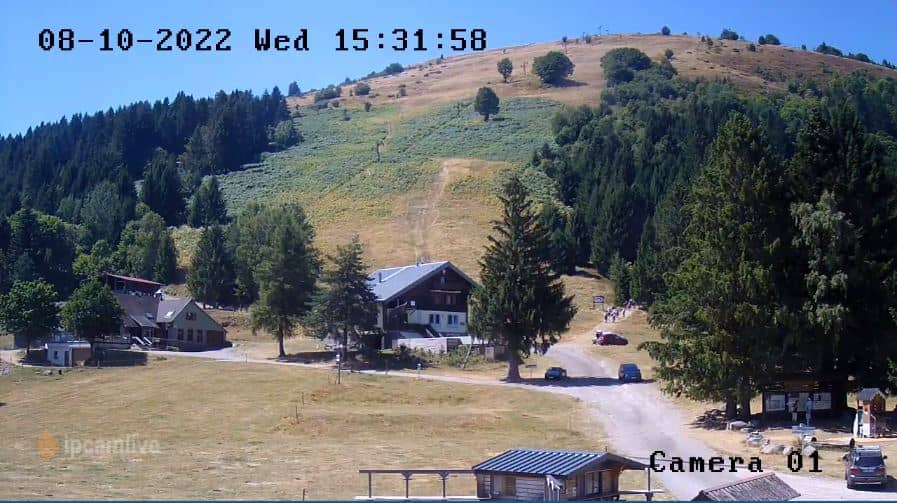
Grand Est, France — 41 km
The current conditions and a three-day forecast are shown in the live weather block on this page. They update automatically, so you can check them before watching the stream.
The local time is displayed on the page, following the French time zone with daylight saving changes applied. It is shown live above the camera.
The camera is at the Belfort-Chaux airfield, about 410 metres above sea level, in the Bourgogne-Franche-Comté region of eastern France. A map on the page marks its position.
Clear mornings and late afternoons are good for seeing the runway and sky clearly. Watch the wind and cloud conditions if you are planning a flight.
Partner links: we may earn a commission at no extra cost to you.