
Chevigny-Saint-Sauveur - A39 gare de Crimolois vers Dijon
Bourgogne-Franche-Comté, France — 61 km

The camera is temporarily offline
The owner's stream is not available right now. Try again later or watch a camera nearby.
Langres - A31 aire de Langres vers Dijon
🇫🇷 Grand Est · France
This live stream shows the A31 motorway rest area near Langres, looking towards Dijon. It is useful for drivers checking how traffic is flowing on this stretch of the route between Lorraine and Burgundy. The picture is updated continuously from the source, with the local time and weather shown below the player.
Langres sits on a high limestone plateau in the Haute-Marne department of the Grand Est region, surrounded by ramparts that have guarded the town since Roman times. It is known for its fortified old town, for being the birthplace of Denis Diderot, and as a crossroads between the Marne valley and the Saône. The surrounding countryside is open farmland and forest, with a noticeably cooler feel than the lowlands to the west.
Because the camera is aimed at a motorway rest area, the most useful thing to watch is the flow of lorries and cars heading towards Dijon. Weekend afternoons and the start of school holidays usually bring the heaviest movement, while early mornings and late evenings are calmer. Fog and snow on the plateau can affect visibility and speeds, so the live picture is a quick way to judge conditions before setting off.
Langres has a continental climate with cold winters, frequent frost on the plateau, and warm but changeable summers. Spring and early autumn are pleasant for a stop in the town. Other cameras in the same network show the A39 near Crimolois, the airfield at Semur-en-Auxois and the A36 at Besançon Nord, which can help you plan the rest of a journey through the region.
Source: bison-fute.gouv.fr
Bourgogne-Franche-Comté, France — 61 km
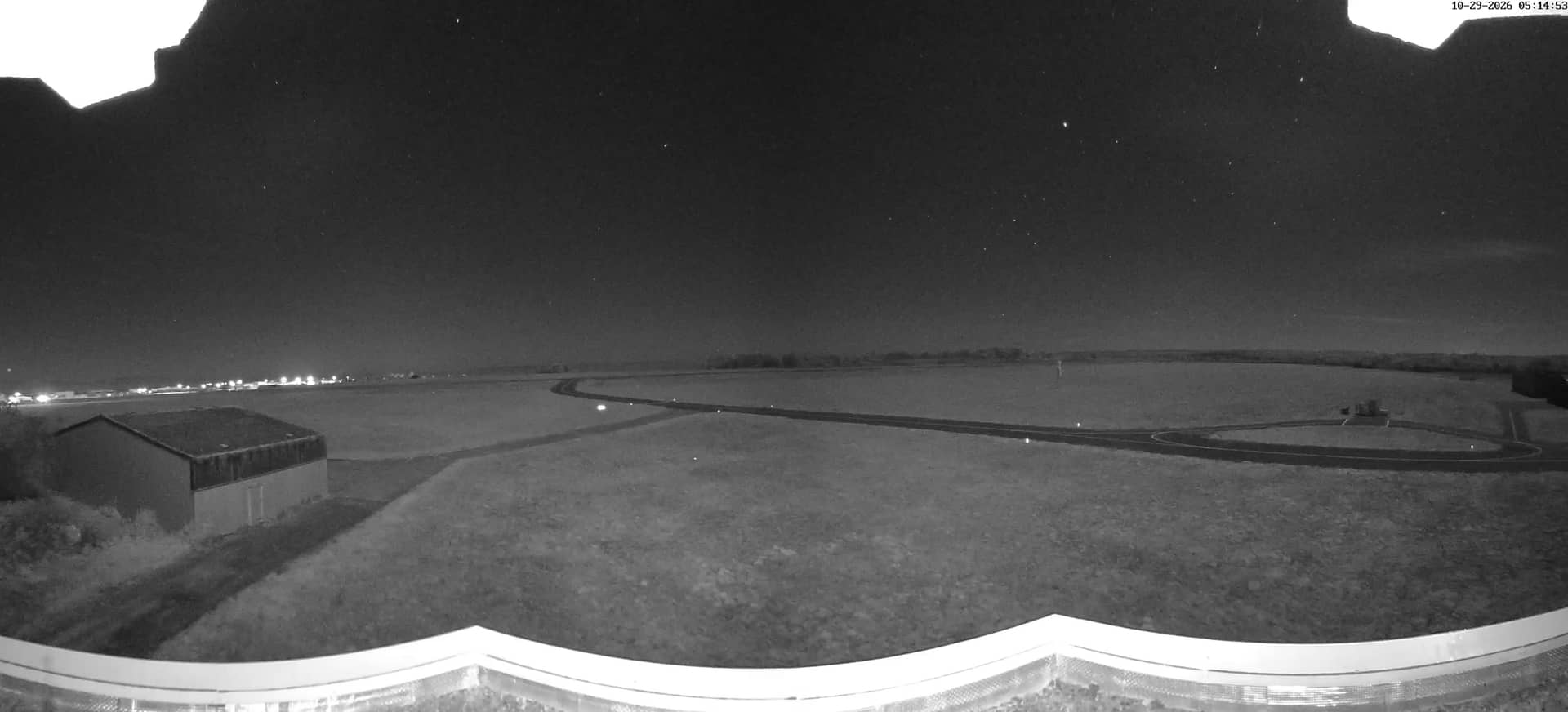
Bourgogne-Franche-Comté, France — 76 km
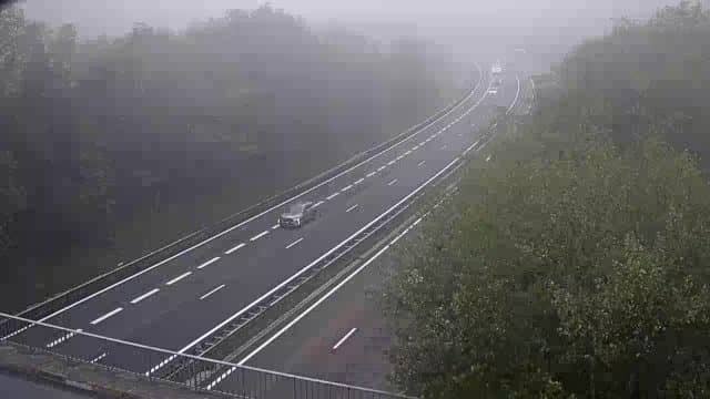
Bourgogne-Franche-Comté, France — 82 km
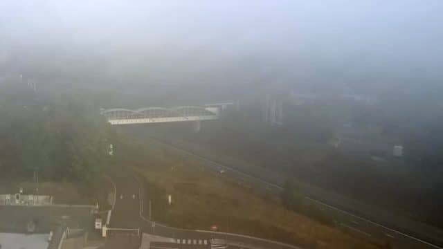
Grand Est, France — 85 km

Bourgogne-Franche-Comté, France — 90 km

Bourgogne-Franche-Comté, France — 92 km
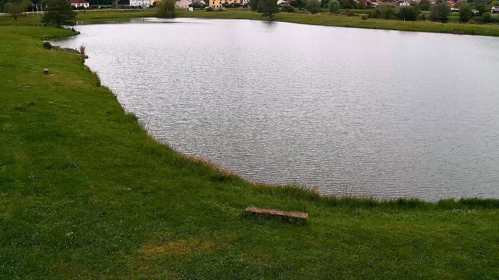
Grand Est, France — 100 km
Grand Est, France — 100 km
Grand Est, France — 100 km
Grand Est, France — 101 km
The current conditions and the three-day forecast for Langres are shown in the weather block on this page, updated automatically. Check it before a long drive, since the plateau can be colder and foggier than the surrounding lowlands.
The local time for Langres is displayed on this page and follows the French time zone, including daylight saving changes. It is useful for checking whether the traffic you see matches the time of day.
The camera is at the A31 motorway rest area near Langres in Haute-Marne, facing towards Dijon. The map on this page shows the exact position and the route direction.
Weekend afternoons and the start of school holidays usually show the busiest traffic. Early mornings can show clearer conditions, and fog or snow is worth checking before winter journeys.
Partner links: we may earn a commission at no extra cost to you.