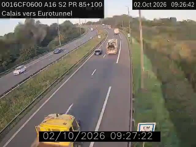
Coulogne - A16 Calais
Hauts-de-France, France — 3.5 km
The camera is temporarily offline
The owner's stream is not available right now. Try again later or watch a camera nearby.
Calais - A16 - ZAC Rivière Neuve
🇫🇷 Hauts-de-France · France
This live stream follows the A16 motorway near Calais, on the northern French coast facing Dover. It is useful for anyone planning a crossing or a drive into northern France, since you can see the road conditions as they are now. The view comes from the source's own feed, embedded here with a link back to them.
Calais is the closest French town to England, separated from Dover by roughly thirty kilometres of the Strait of Dover. Its flat, open landscape is shaped by the wind off the Channel, with long beaches, dunes and marshes stretching east and west. The town is best known as a ferry and Eurotunnel gateway, and its port and Cité de la Dentelle heritage give it a busy, working character.
The feed looks onto a motorway, so the main interest is traffic: how busy the carriageways are, whether lanes are moving, and how the weather is affecting visibility. Early mornings and late afternoons on weekdays tend to be the busiest, while weekends can bring holiday traffic toward the coast. Rain, fog and strong crosswinds are the conditions most worth watching for on this stretch.
Calais has an oceanic climate, with mild winters, cool summers and wind present most of the year, so a light jacket is sensible at any season. The nearby cameras on this site cover Coulogne, Sangatte and the Marck interchanges, which together give a fuller picture of the road network around the town. Allow extra time for ferry or tunnel departures when traffic looks heavy.
Source: bison-fute.gouv.fr
Hauts-de-France, France — 3.5 km
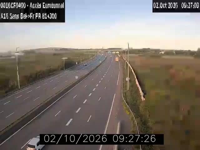
Hauts-de-France, France — 4.3 km
Hauts-de-France, France — 5.3 km

Hauts-de-France, France — 5.9 km
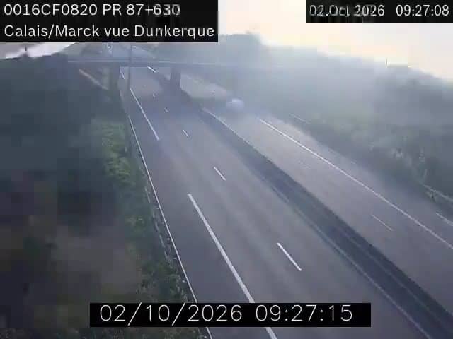
Hauts-de-France, France — 6 km
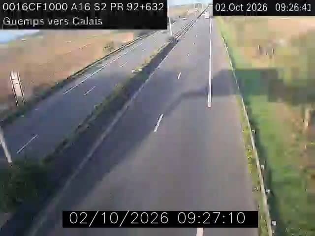
Hauts-de-France, France — 11 km
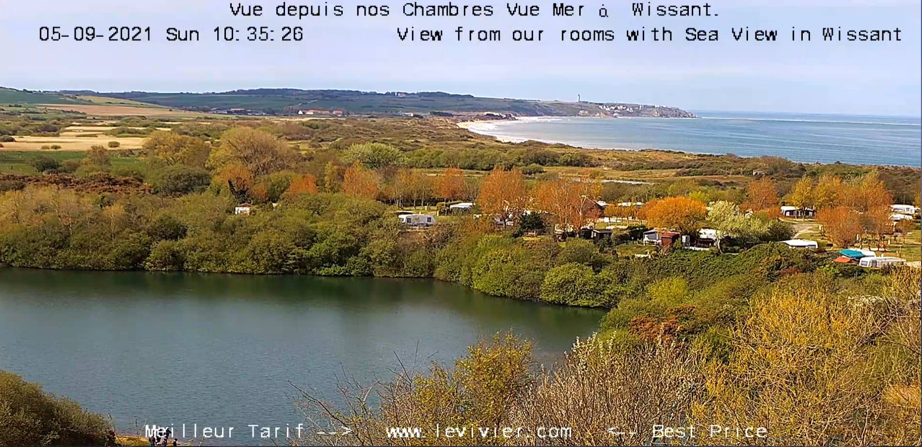
Hauts-de-France, France — 14 km

Hauts-de-France, France — 21 km

Hauts-de-France, France — 25 km
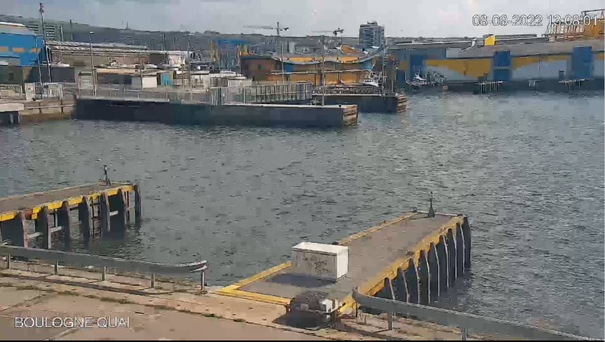
Hauts-de-France, France — 29 km
The current conditions and a three-day forecast for Calais are shown in the live weather block on this page, updated automatically. Check it before setting off, as wind and fog can change quickly on the coast.
The local time for Calais is displayed live at the top of this page, following the French time zone. It updates along with the video so you can match it to what the road looks like.
The camera is on the A16 motorway in the ZAC Rivière Neuve area of Calais, at about 50.94 north and 1.83 east. The map on this page marks its position for easy orientation.
Weekday mornings and late afternoons usually show the heaviest traffic, which is useful for judging delays. For planning a trip, check the stream a little before your intended departure time.
Partner links: we may earn a commission at no extra cost to you.