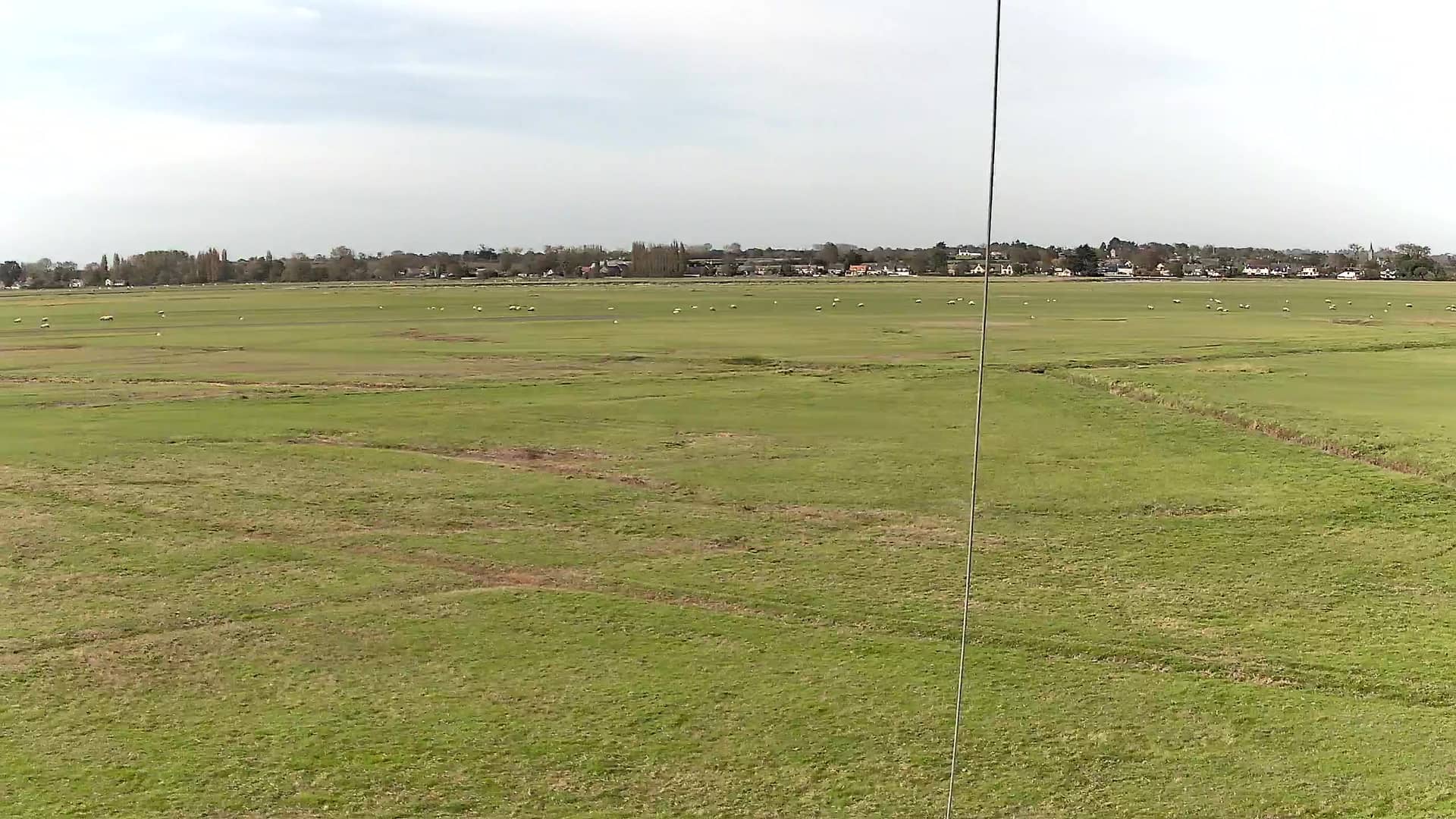
Le Val-Saint-Père - Aéroclub des grèves du Mont Saint Michel
Normandy, France — 5.4 km

The camera is temporarily offline
The owner's stream is not available right now. Try again later or watch a camera nearby.
Saint-Quentin-sur-le-Homme - A84 Poilley
🇫🇷 Normandy · France
This live stream follows the A84 motorway near Poilley, in the Manche department of Normandy. It is useful for anyone planning a drive through western Normandy who wants to see how traffic is moving before setting off. The view is updated continuously, with the local weather and time shown alongside.
Saint-Quentin-sur-le-Homme is a small rural commune in the Manche department, in the western part of Normandy. The landscape is a patchwork of farmland, hedgerows and low hills typical of the Cotentin and Avranchin countryside. The A84 is one of the main routes linking Rennes with Caen and the coast, so the area sees steady movement of cars and lorries throughout the year. The nearby Mont-Saint-Michel bay is a short drive to the north and is one of the best-known landmarks of the region.
As a traffic camera, the stream is aimed at the motorway itself, so the most useful thing to watch is the flow of vehicles. Morning and late afternoon are typically busier, especially on weekdays, while weekends and school holidays can bring heavier traffic toward the coast. Fog and rain are common in this part of Normandy and can slow traffic quickly, so the live picture is a good way to judge conditions before you leave.
Normandy has a mild, changeable climate, with cool winters and fairly mild summers, and rain can arrive at any time of year. The most comfortable months for driving and sightseeing are usually late spring and early autumn. From this stretch of the A84 you can reach the Mont-Saint-Michel area and its neighbouring coastline within a short drive. The other cameras listed on this page, including those near Le Val-Saint-Père and Le Mont-Saint-Michel, can help you compare conditions along the route.
Source: bison-fute.gouv.fr
Normandy, France — 5.4 km
Normandy, France — 18 km
Normandy, France — 23 km
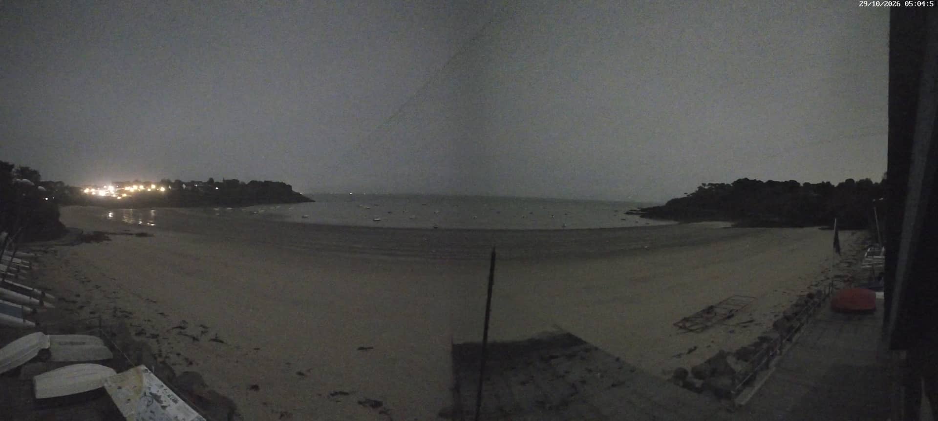
Brittany, France — 38 km

Normandy, France — 43 km
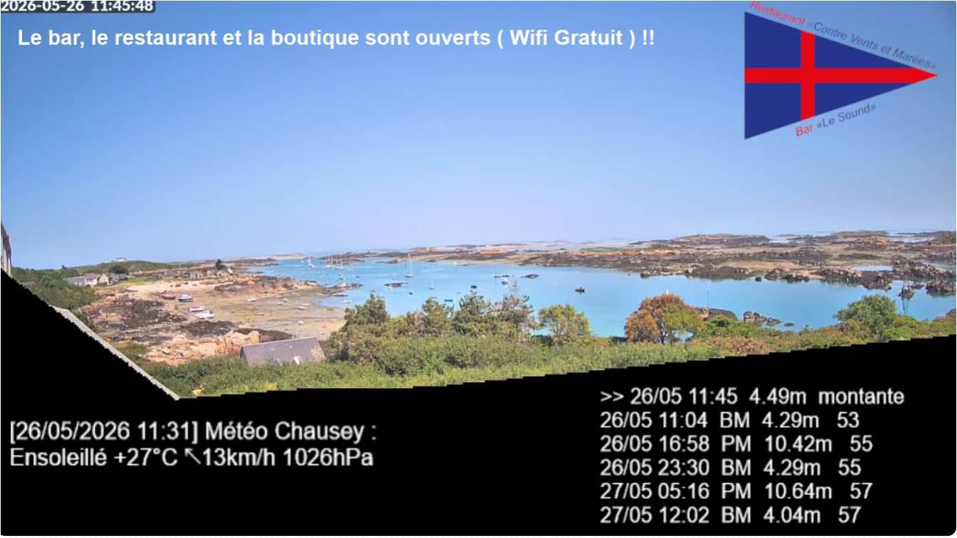
Normandy, France — 44 km

Brittany, France — 47 km
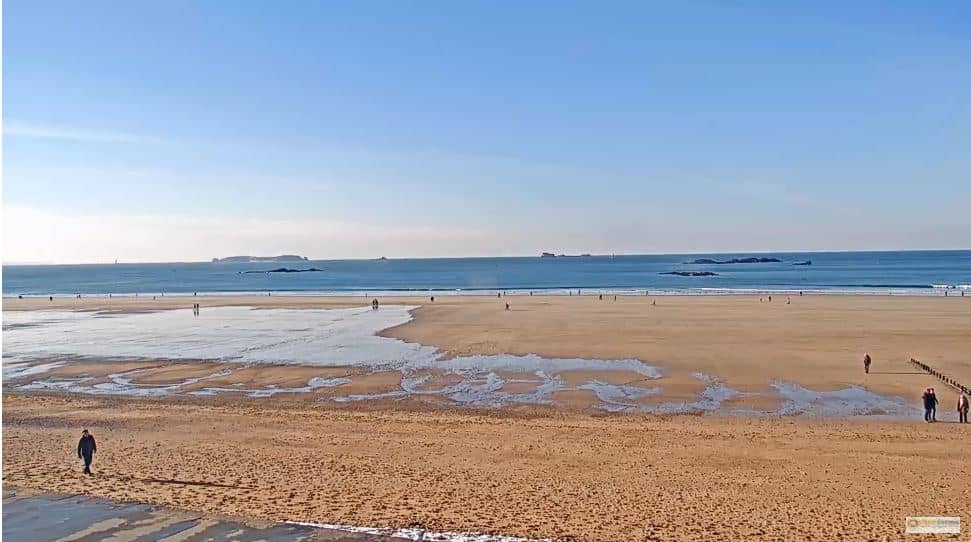
Brittany, France — 49 km
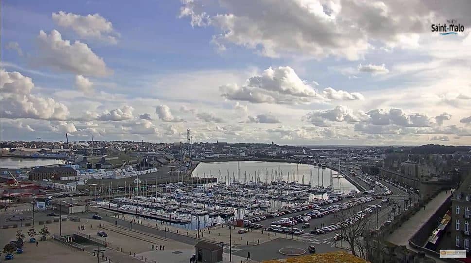
Brittany, France — 50 km
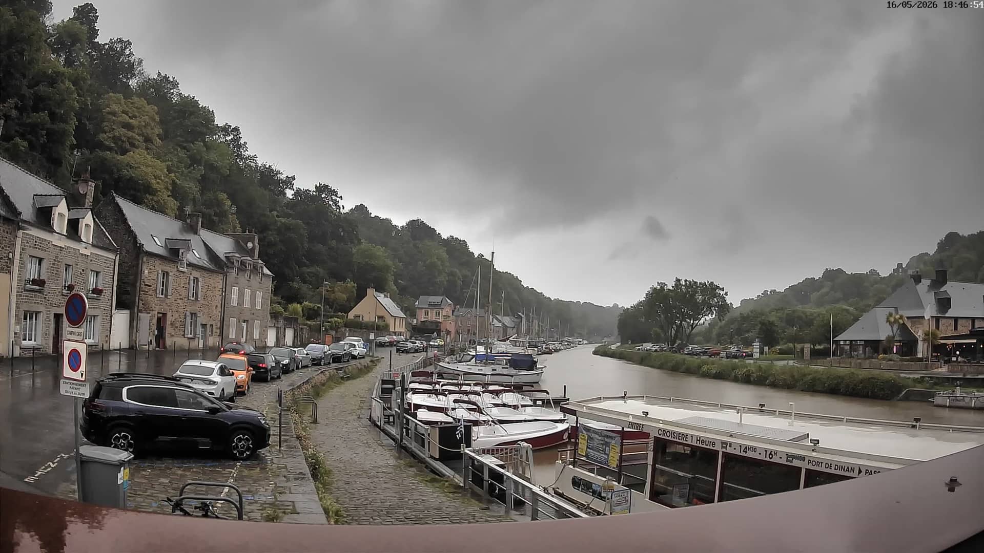
Brittany, France — 55 km
The current conditions and a three-day forecast are shown in the live weather block on this page. The values update automatically, so you can check them before you travel.
The local time for this location is displayed on the page and updates in real time. It follows the French local clock used across Normandy.
The camera overlooks the A84 motorway near Poilley in the Manche department of Normandy. The map on this page marks its position relative to the nearby towns and the Mont-Saint-Michel area.
Weekday mornings and late afternoons usually show the heaviest flow of vehicles. Weekends and holiday periods can be busy too, especially on routes leading toward the coast.
Partner links: we may earn a commission at no extra cost to you.