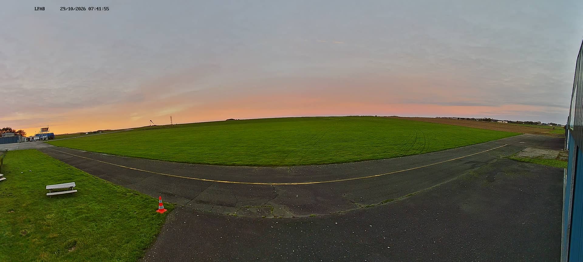
Dieppe - Aérodrome
Normandy, France — 0.2 km
Dieppe - Aérodrome Taxiway Alpha
🇫🇷 Normandy · France — Altitude 105 m
This live stream follows the taxiway at the Dieppe aerodrome, a small airfield on the Normandy coast of France. It suits anyone curious about light aviation, or anyone checking how the sky and wind look over the Channel coast before heading out.
Dieppe is a historic port town on the English Channel in Seine-Maritime, known for its pebble beaches, its long seafront and its ties to the region's maritime past. The aerodrome sits a short distance from the town and serves local flying clubs and light aircraft. The landscape around it is open, with farmland and low hills that give the sky a wide and changeable look throughout the year.
The camera is aimed at a taxiway, so the most useful things to watch are aircraft movements, wind direction shown by the surroundings, and the changing light. Depending on the view, morning and late afternoon are often the most pleasant times, when the sun sits low over the field. Coastal weather can shift quickly, so fog, rain or strong crosswinds may be visible even when the forecast looks mild.
Normandy has a temperate oceanic climate, with mild summers, cool winters and frequent cloud, so late spring and summer are the easiest seasons for a visit. Dieppe is reachable by train and road from Rouen and the Paris region. Nearby on VizCams you can also open the Dieppe Golf and Dieppe Ango camera pages to compare conditions around the town.
Source: ULM Dieppe
Normandy, France — 0.2 km
Normandy, France — 4.7 km
Normandy, France — 4.7 km

Normandy, France — 11 km
Normandy, France — 16 km
Normandy, France — 21 km
Normandy, France — 23 km
Normandy, France — 27 km
Normandy, France — 27 km
Normandy, France — 27 km
The current weather for Dieppe and a three-day forecast are shown in the live block on this page, updated alongside the camera stream.
The local time in Dieppe is displayed on this page, so you can check whether it is daylight there before watching the taxiway.
The camera is at the Dieppe aerodrome in Normandy, France, at about 105 metres above sea level. The map on this page shows its position.
Early morning and late afternoon usually give the best light on the field, though the view depends on the weather and the day's flying activity.
Partner links: we may earn a commission at no extra cost to you.