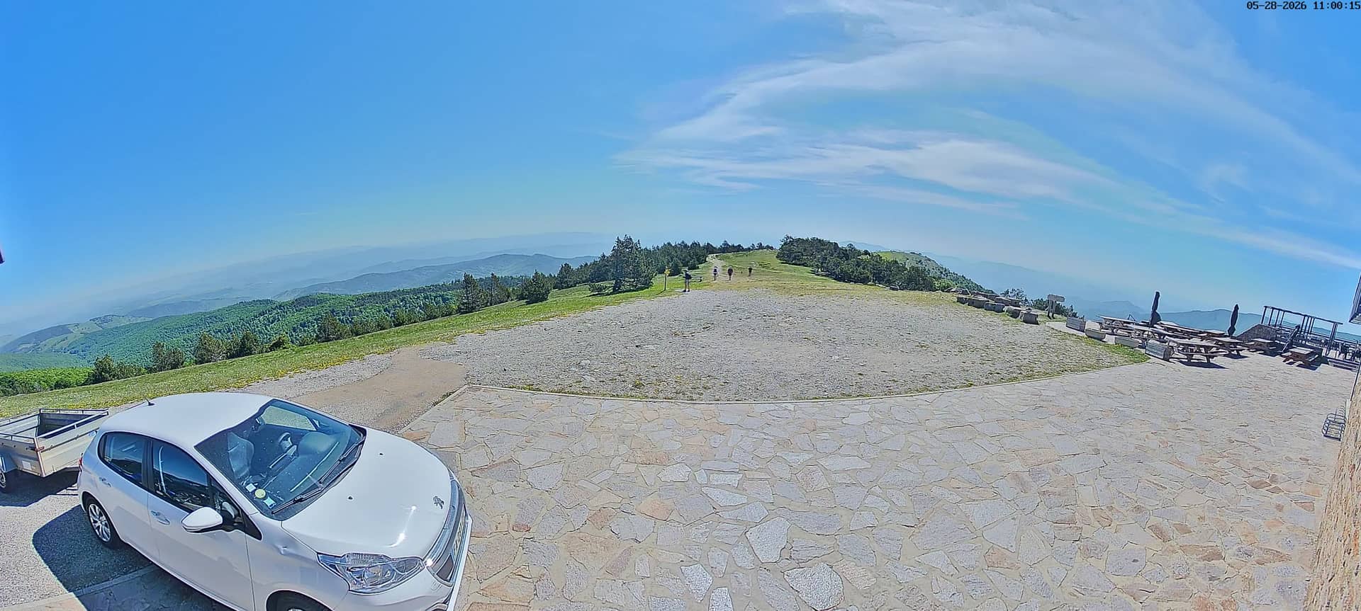
Mont Aigoual - Sommet Est
Occitania, France — 24 km
The camera is temporarily offline
The owner's stream is not available right now. Try again later or watch a camera nearby.
Florac - RN106 Col de Jalcreste
🇫🇷 Occitania · France
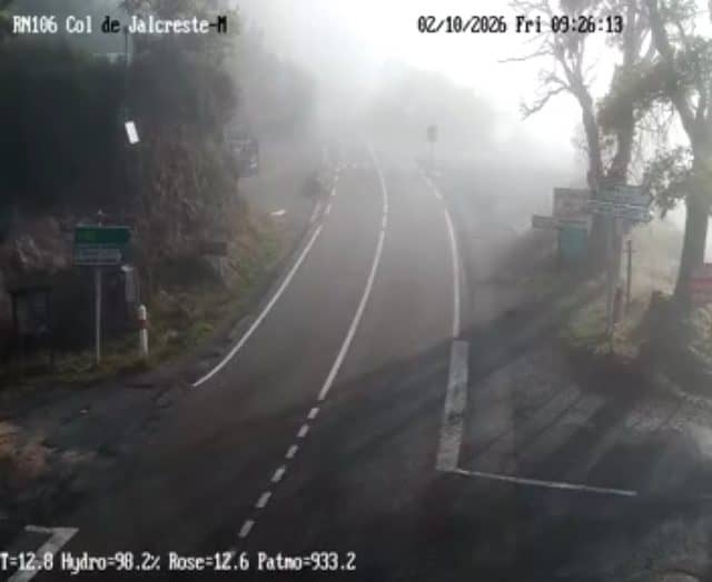
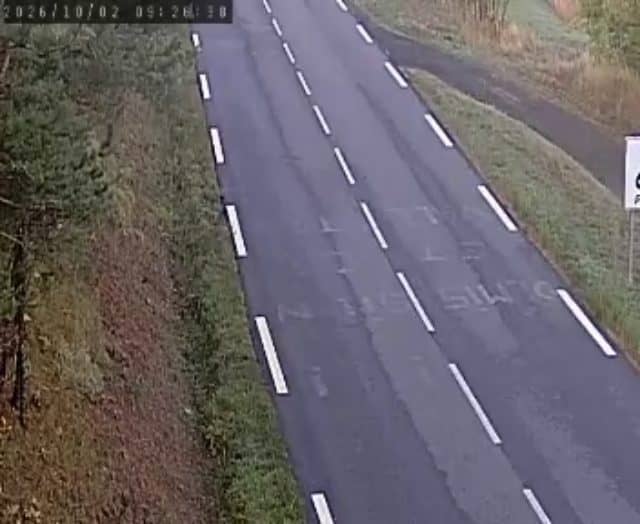
This live stream follows the RN106 road as it approaches the Col de Jalcreste above Florac, in the Cévennes. It is useful for checking how the road looks before you travel through the mountains. The page also shows local time and the current weather with a short forecast.
Florac is a small town in the Lozère department of the Occitanie region in southern France, set at the edge of the Cévennes National Park. The area is known for steep gorges, chestnut woodland, dry stone walls and the Tarn river valley. The road climbs through wooded slopes and open upland, and the landscape changes quickly with altitude and light.
The title names a mountain road, so the view is most likely the carriageway and the surrounding slopes rather than the town itself. Depending on the angle, you may see traffic, road surface and cloud moving over the ridges. Mountain roads can be affected by fog and early snow in autumn and winter, so mornings and periods after rain are often worth checking.
The Cévennes have a mixed climate, with mild, sunny spells in spring and early autumn and cooler, wetter conditions at higher elevations. Summer can bring heat in the valleys and storms in the afternoon. Nearby cameras on Mont Aigoual and at Mende cover other high points in the same region, which helps when planning a longer drive.
Source: bison-fute.gouv.fr
Occitania, France — 24 km
Occitania, France — 24 km
Occitania, France — 25 km
Occitania, France — 25 km
Occitania, France — 26 km
Occitania, France — 26 km
Occitania, France — 26 km
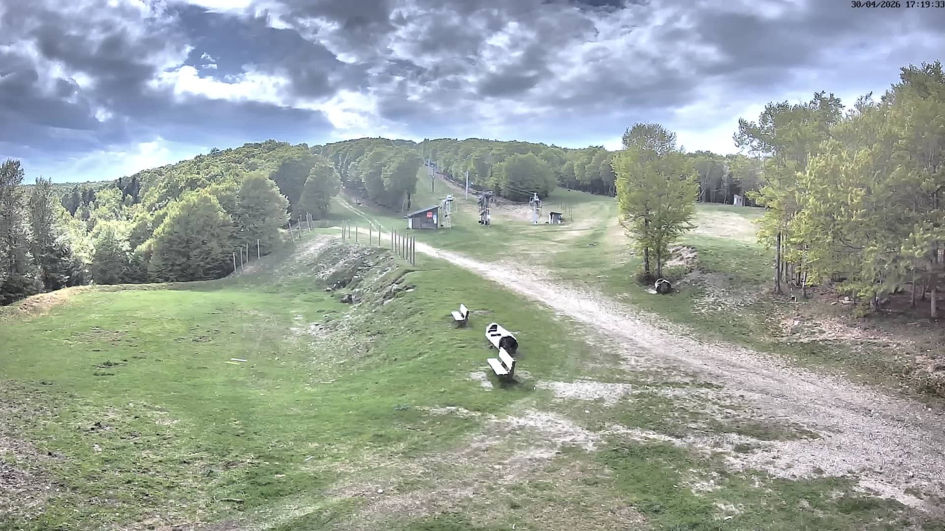
Occitania, France — 26 km
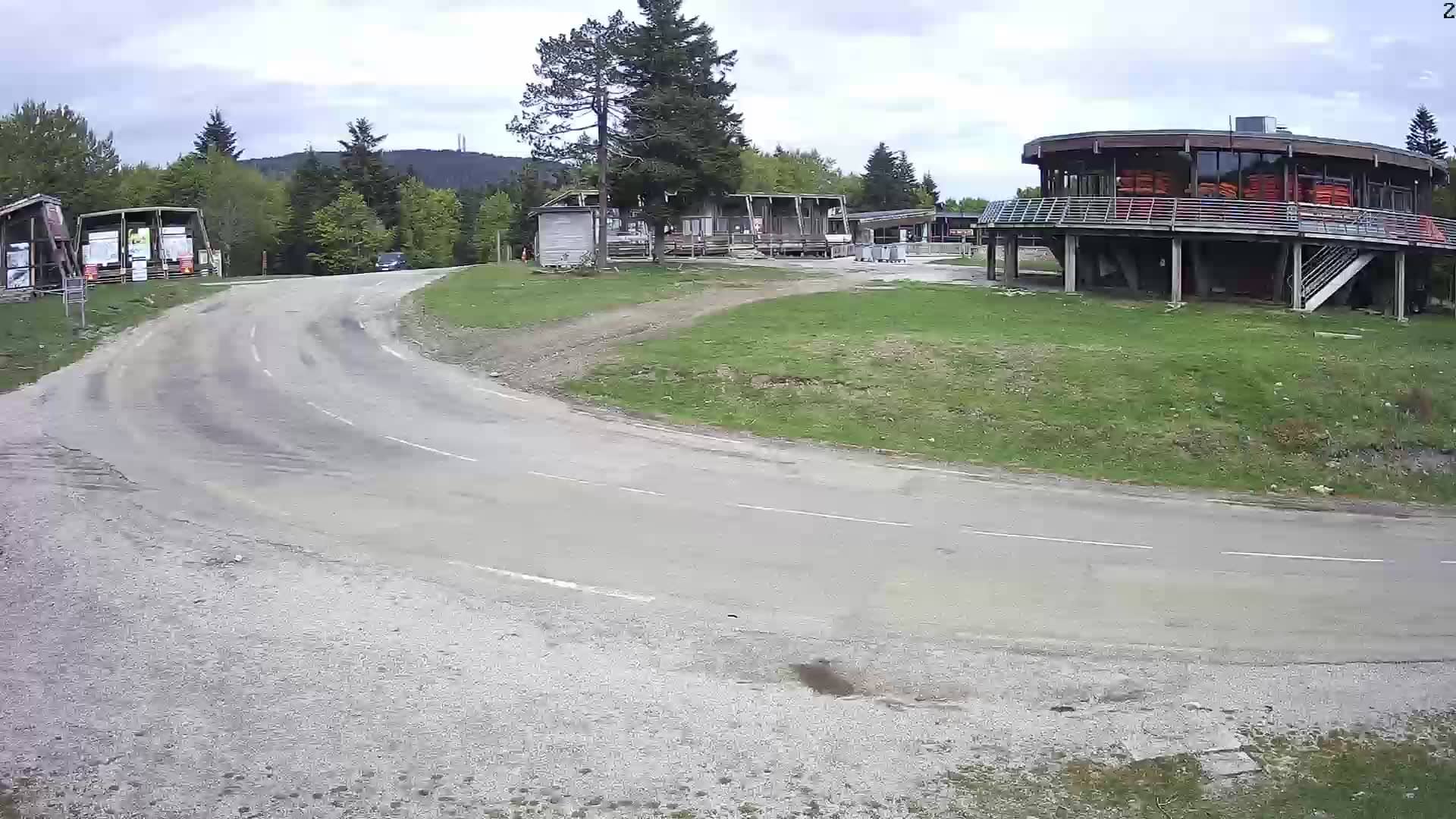
Occitania, France — 26 km
Occitania, France — 26 km
The current conditions and a 3-day forecast are shown in the live weather block on this page, updated with the page.
The local time for Florac is shown on this page, based on the French time zone.
The camera is on the RN106 road near the Col de Jalcreste, north-east of Florac in the Lozère department. The map on this page marks its position.
Check it in the morning or before a planned drive to see whether fog, cloud or snow is affecting the road. Conditions change quickly at altitude.
Partner links: we may earn a commission at no extra cost to you.