
Aumont-Aubrac - Col des Issartets A75
Occitania, France — 15 km
🇫🇷 Occitania · France — Altitude 1342 m
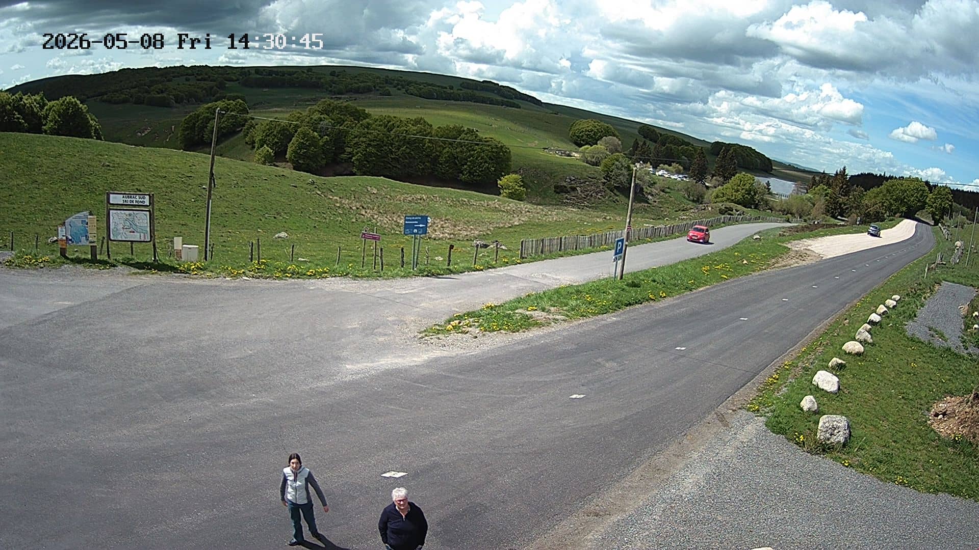
This camera looks out from the Col de Bonnecombe, a mountain pass on the Aubrac plateau in Occitania. The image refreshes regularly, so you can check the conditions on the high ground before a drive or a walk. It is a useful window on the weather of this exposed upland area.
Col de Bonnecombe sits at about 1342 metres on the Aubrac, a broad volcanic plateau in the Lozère department. The landscape is open, with pastures, scattered farms and long horizons, and the area is known for its cattle, its cheese traditions and the Aubrac breed. Because the pass is high and open, the air often feels cooler and cleaner than in the valleys below, and the views can change quickly as clouds move across the plateau.
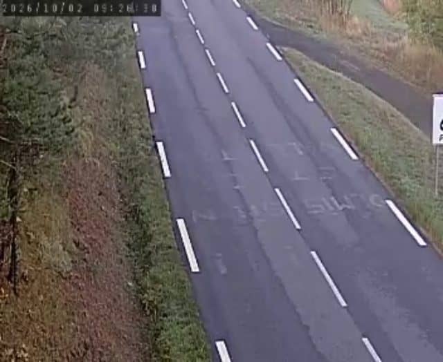
The camera shows the pass and the road that crosses it, so the most useful things to follow are the sky, cloud cover, fog and any snow or wind on the surface. Mornings are often calm and clear, while afternoons can bring build-up over the plateau. Late autumn and winter are when conditions change most sharply, and the image can help you judge whether the pass is passable before you set out.
The Aubrac has a continental climate with cold winters, sometimes heavy snow, and mild but breezy summers. Late spring through early autumn is the most comfortable period for walking and driving here. Nearby cameras on the A75 corridor, including those at Aumont-Aubrac and La Canourgue, can help you compare conditions along the route across the plateau.
Source: Aubrac Sud Lozère
Occitania, France — 15 km

Occitania, France — 18 km

Occitania, France — 23 km
Occitania, France — 32 km
Occitania, France — 33 km

Occitania, France — 35 km
Occitania, France — 36 km
Occitania, France — 37 km
Occitania, France — 39 km

Occitania, France — 53 km
The current conditions and a three-day forecast for the pass are shown in the live weather block on this page. Because the pass is high, it can be noticeably cooler and windier than nearby towns.
The local time for the camera is shown in the live clock on this page, following the time in France. Use it to plan when to check the view.
The camera is at a mountain pass on the Aubrac plateau in the Lozère department of the Occitania region, at roughly 1342 metres altitude. The map on this page shows the exact location.
Mornings tend to be clearest, and winter and late autumn show the biggest changes in snow and visibility. Checking before a journey across the plateau is especially useful.
Partner links: we may earn a commission at no extra cost to you.