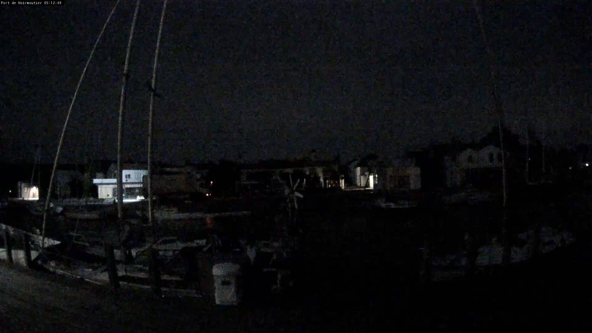
Noirmoutier en l'Île
Pays de la Loire, France — 4.8 km
🇫🇷 Pays de la Loire · France — Altitude 5 m
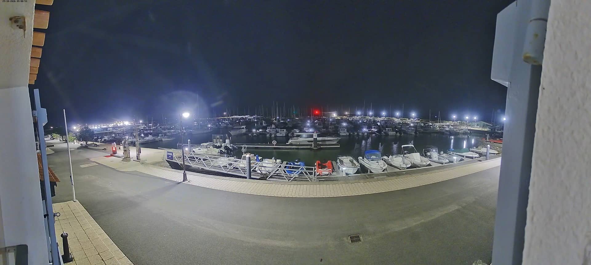
This live stream looks out over L'Herbaudière, the small harbour village at the northern end of Noirmoutier island off the Vendée coast. It is useful for checking the sea, the sky and the traffic on the approach before planning a crossing or a day trip.
Noirmoutier is an island linked to the mainland by the Gois causeway, which is passable only at low tide. L'Herbaudière is one of its fishing and sailing points, with a port that has long served small boats and the island's shellfish trade. The landscape is flat, shaped by salt marshes, dunes and pine woods, and the light over the water changes quickly with the wind.
Since the title names a harbour, the view most likely covers the port area and open water beyond it, but the exact frame is best judged on the live picture itself. Early mornings and the hours around high and low tide tend to be the most interesting, when boats move in and out and the water level changes visibly. Clear weather and calm sea make the scene easiest to follow.
The Atlantic coast gives mild winters and cool, breezy summers, and the sea wind is strong on many days. Check the tide times before driving across the Gois causeway, as the road is closed when covered by water. Nearby on the site you will find the Noirmoutier en l'Île camera and the Passage du Gois view for comparison.
Source: COM COM Noirmoutier
Pays de la Loire, France — 4.8 km

Pays de la Loire, France — 19 km
Pays de la Loire, France — 28 km
Pays de la Loire, France — 30 km
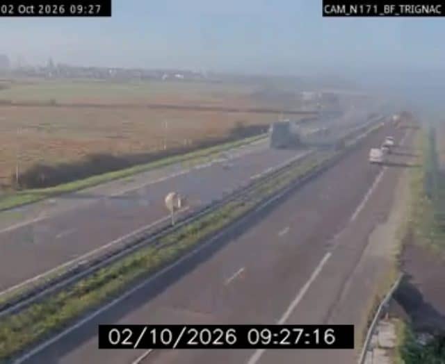
Pays de la Loire, France — 33 km

Pays de la Loire, France — 34 km
Pays de la Loire, France — 42 km
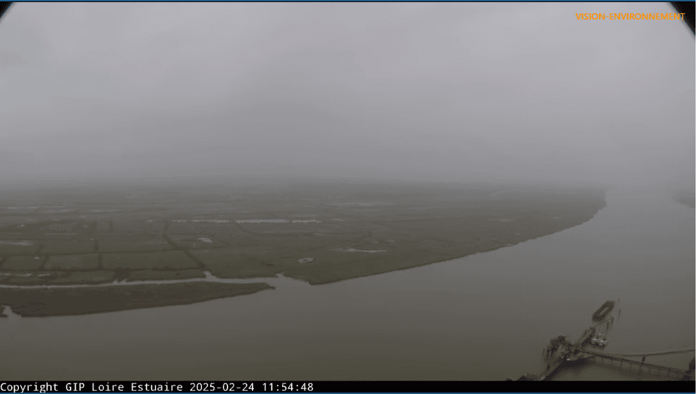
Pays de la Loire, France — 42 km
Pays de la Loire, France — 44 km
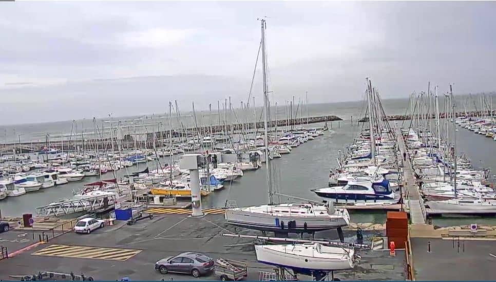
Pays de la Loire, France — 44 km
The current conditions and the three-day forecast are shown in the weather block on this page, updated alongside the live stream. Wind and sea state matter most here, so check them before a boat trip or a crossing.
The local time for this camera is displayed on the page and follows French time, including daylight saving changes. Use it to judge how much light is left over the harbour.
The camera is at L'Herbaudière, on the northern tip of Noirmoutier island in the Pays de la Loire region of western France. The map on the page shows the precise position.
Early morning and the hours around tide changes are usually the most lively, as boats and water levels shift. Clear days with light wind give the clearest picture of the harbour and the sea beyond.
Partner links: we may earn a commission at no extra cost to you.