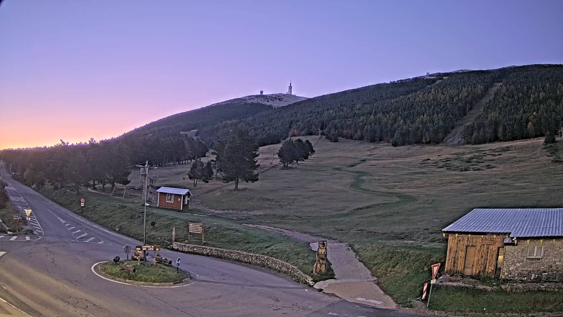
Mont-Serein - Le Mont Ventoux
Provence-Alpes-Côte d'Azur, France — 14 km
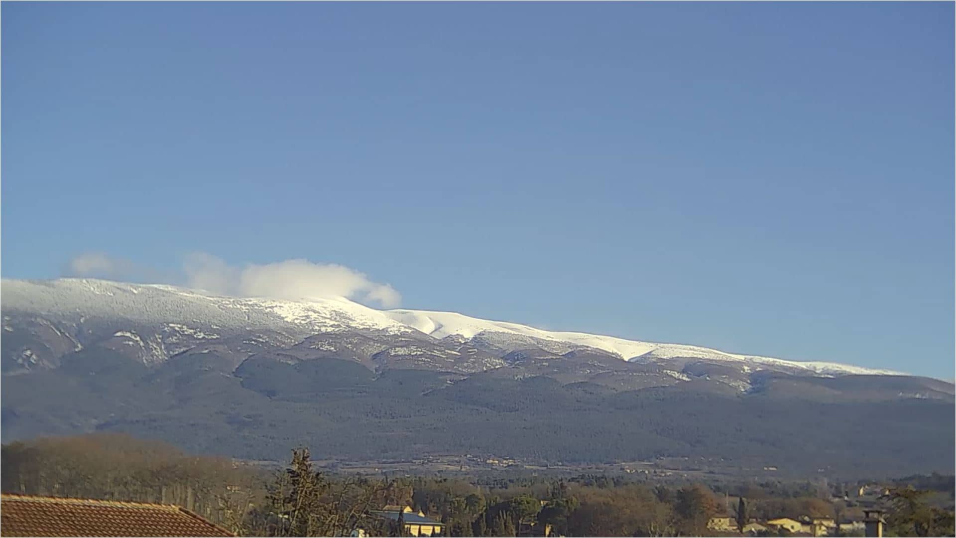
Mormoiron - Mont Ventoux
🇫🇷 Provence-Alpes-Côte d'Azur · France — Altitude 240 m
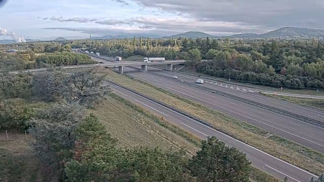
This live stream looks out toward Mont Ventoux, the bare limestone peak that rises above the Provençal countryside. Mormoiron sits at its foot, so the view gives a sense of the mountain's scale and how the sky changes around it. Check it before a trip or simply to see what the wind and light are doing today.
Mont Ventoux rises steeply from the plain of Vaucluse to a height of about 1,910 metres, and its upper slopes are largely treeless and stony. Mormoiron is a small village at a much lower altitude, surrounded by vineyards, olive groves and lavender fields. The Ventoux is famous among cyclists for its climb and among walkers for its panoramic summit views, and it is often called the Giant of Provence.
Because the stream is focused on a mountain, the most rewarding moments depend on weather and season. Clear mornings often bring crisp outlines and sharp shadows, while late afternoon light warms the limestone. Cloud caps and fast-moving clouds on the summit are common and are worth watching, as the mountain is known for strong winds. Conditions can change quickly, so the picture is best read alongside the live weather on this page.
Summers in this part of Provence are hot and dry, while winters are mild but can bring cold mistral winds. Spring and autumn are generally the most comfortable seasons for visiting. If you want to compare viewpoints, the nearby cameras at Mont-Serein on the Ventoux, in Sault and at Vedène on the A7 motorway show the same region from different angles.
Source: Jon Electronics
Provence-Alpes-Côte d'Azur, France — 14 km
Provence-Alpes-Côte d'Azur, France — 17 km

Provence-Alpes-Côte d'Azur, France — 25 km
Occitania, France — 36 km
Occitania, France — 36 km
Provence-Alpes-Côte d'Azur, France — 36 km
Provence-Alpes-Côte d'Azur, France — 43 km

Occitania, France — 47 km
Provence-Alpes-Côte d'Azur, France — 47 km
Auvergne-Rhône-Alpes, France — 56 km
The current conditions and a 3-day forecast for Mormoiron are shown in the live weather block on this page. Summit conditions can differ noticeably from the village, so check the forecast before you plan a climb.
The local time for Mormoiron is displayed on this page and updates automatically. It follows the time in mainland France, so it matches the local time shown on the stream.
The camera is located in the village of Mormoiron in the Vaucluse department of Provence-Alpes-Côte d'Azur, about 240 metres above sea level. The map on this page marks its position.
Early morning and late afternoon usually give the clearest light and best definition on the mountain. Clear days after rain are often the most rewarding, and changing cloud on the summit can make for interesting viewing.
Partner links: we may earn a commission at no extra cost to you.