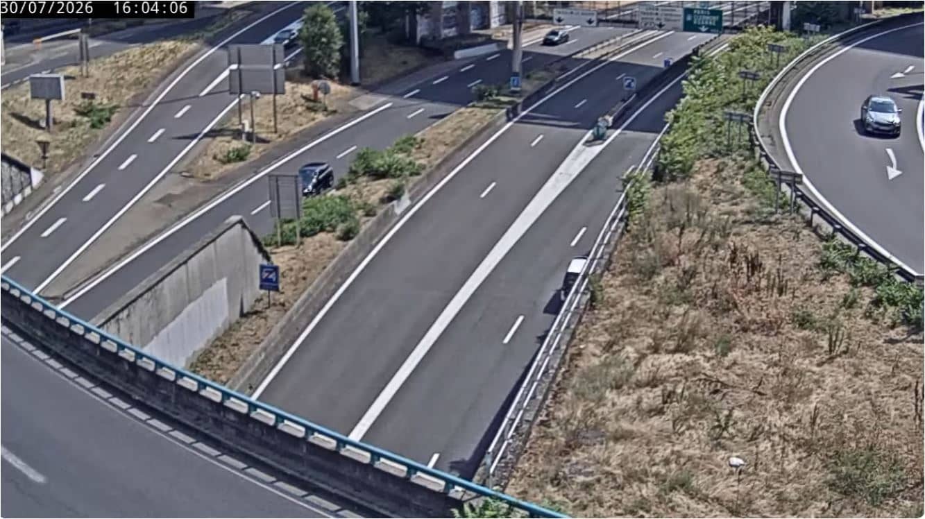
Lyon - Porte du Valvert
Auvergne-Rhône-Alpes, France — 1.6 km
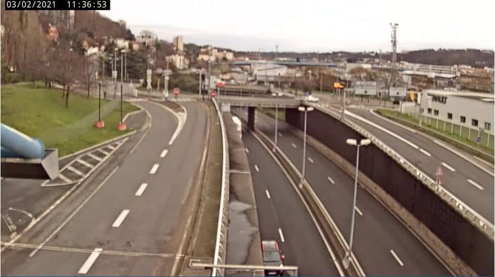
🇫🇷 Provence-Alpes-Côte d'Azur · France — Altitude 181 m
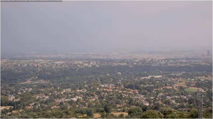
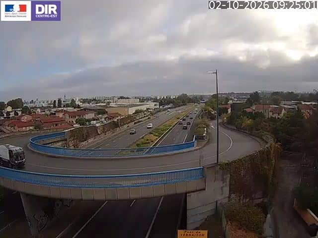
This live stream looks out over Vaise, a district on the northern side of Lyon where the city's traffic arteries meet the hills. It suits anyone checking road conditions, the flow of traffic into the city, or simply what the weather looks like above the Rhône and Saône valley.
Vaise sits on the north-western edge of Lyon, on the right bank of the Saône, where the old city meets the rising slopes. Lyon is known as France's gastronomic capital, a UNESCO-listed historic centre and a city shaped by its two rivers. The district has long been a transport hub, linking the urban core with the northern suburbs and the motorway network around the city.
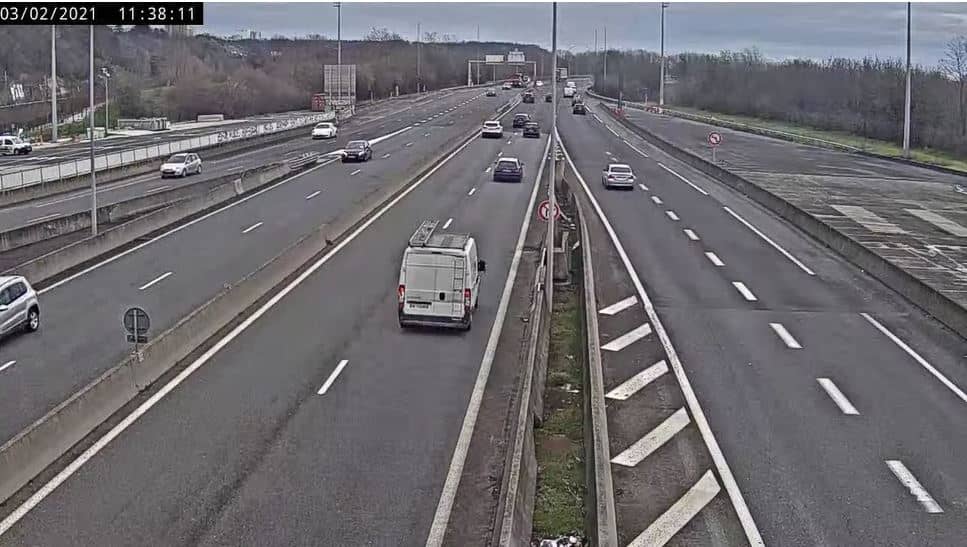
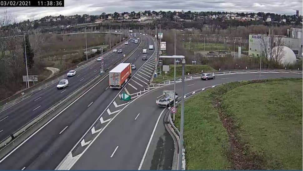
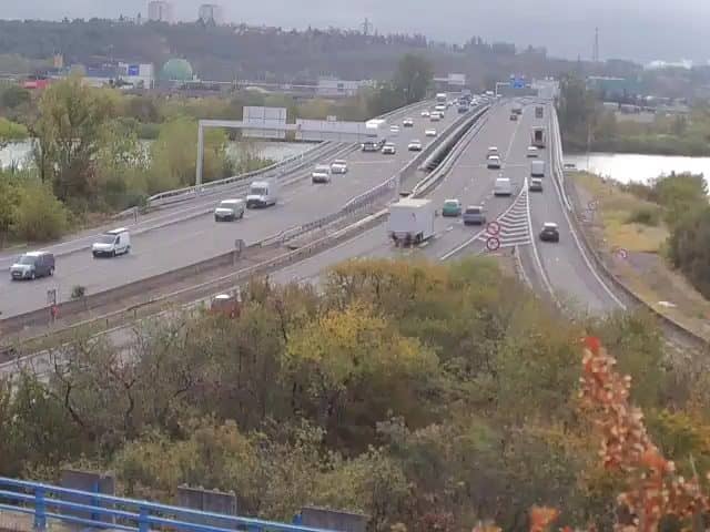
The stream is part of a road-monitoring feed on the northern ring road, so the main interest is traffic movement, junctions and weather over the carriageways. Rush hours in the morning and early evening are usually the busiest periods. On clear days the view can also reveal the surrounding hills, though the exact framing depends on the view and can change over time.
Lyon has a continental climate with warm summers and cool, sometimes foggy winters, so autumn and spring are pleasant times to visit. Vaise is well connected by metro line D and by buses, and the nearby Porte du Valvert and Mont Cindre cameras offer further views along the same road network and surrounding hills.
Source: Périphérique Nord Lyon
Auvergne-Rhône-Alpes, France — 1.6 km
Auvergne-Rhône-Alpes, France — 3.4 km
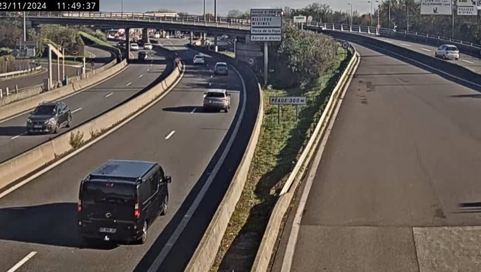
Auvergne-Rhône-Alpes, France — 4.8 km
Auvergne-Rhône-Alpes, France — 4.9 km
Auvergne-Rhône-Alpes, France — 5.5 km
Auvergne-Rhône-Alpes, France — 7.2 km

Auvergne-Rhône-Alpes, France — 9.6 km
Auvergne-Rhône-Alpes, France — 9.7 km

Auvergne-Rhône-Alpes, France — 10 km
Auvergne-Rhône-Alpes, France — 10 km
The current weather and a three-day forecast for Lyon are shown on this page in the live weather block. The values update automatically, so you can check conditions before heading out.
The local time for Lyon is displayed on this page and follows the French local clock, including daylight saving changes. It updates continuously alongside the live stream.
The camera is on the northern ring road in the Vaise district of Lyon, at about 181 metres above sea level. The map on this page marks its position and shows the surrounding streets.
Weekday mornings and early evenings are usually the most active, when traffic on the northern approaches is heaviest. Clear weather gives the best visibility over the city and hills.
Partner links: we may earn a commission at no extra cost to you.