
St-Barth - Plaine de Saint-Jean
Saint Barthélemy, France — 0.3 km

Saint-Barth - Aéroport
🇫🇷 Saint Barthélemy · France — Altitude 41 m
This live camera looks at the airport serving Saint Barthélemy, the small Caribbean island in the French West Indies. It is a useful window for anyone planning a trip, waiting for arrivals, or simply curious about activity on a tiny island airstrip. The player below shows the stream as its owner provides it.
Saint Barthélemy is a small French overseas collectivity in the Leeward Islands, known for its boutique hotels, sheltered bays and a relaxed, upscale atmosphere. The airport sits at a low elevation close to the sea, and the surrounding landscape is dry scrub, rocky hills and turquoise water. Gustavia, the main harbour town, is only a short drive away and anchors much of island life.
The image title names the airport, so the view is most likely centred on the runway and terminal area. Flights are typically busiest in the morning and late afternoon, when small propeller and jet aircraft arrive and depart. Conditions such as cloud, glare and wind can change the look of the scene quickly, so check the live weather block on this page before you watch.
Saint Barthélemy has a warm tropical climate with trade winds, and the drier months from late winter to spring are generally considered the most pleasant for visiting. Hurricane season runs through the late summer and autumn. Because the island is small, taxis and rental cars make it easy to reach nearby beaches and the port, and the camera page also links to other island views such as Gustavia harbour and Saint-Jean bay.
Source: St-Barth
Saint Barthélemy, France — 0.3 km

Saint Barthélemy, France — 0.5 km
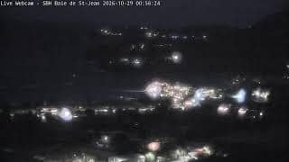
Saint Barthélemy, France — 1 km

Saint Barthélemy, France — 1.7 km

Saint Barthélemy, France — 2.1 km

Saint Barthélemy, France — 2.8 km
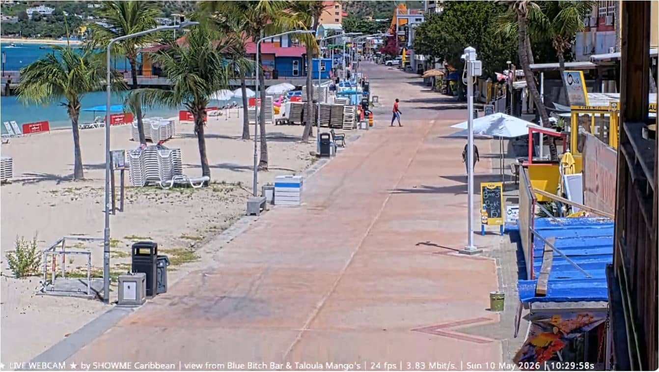
Saint Martin, St. Martin — 25 km
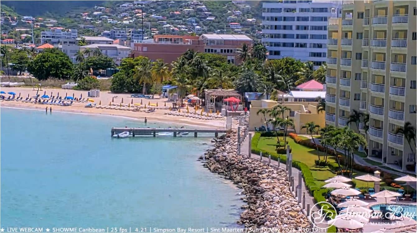
Saint Martin, St. Martin — 30 km
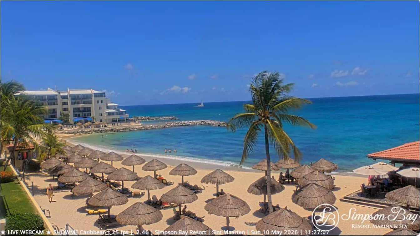
Saint Martin, St. Martin — 30 km

Saint Martin, St. Martin — 33 km
The current conditions and a three-day forecast for the island are shown in the live weather block on this page. Values update automatically so you can check wind and cloud before watching or travelling.
The local time is displayed on this page and updates in real time. It helps you match the live view with the current activity at the airport.
The camera is at the airport on Saint Barthélemy, at roughly 41 metres above sea level. The map on this page shows its position on the island.
Mornings and late afternoons usually bring the most flight movements, though schedules vary by season. The best viewing depends on conditions, so check the weather block first.
Partner links: we may earn a commission at no extra cost to you.