Pressecker Knock
Bavaria, Germany — 22 km
Hof - Flughafen Hof-Plauen
🇩🇪 Bavaria · Germany
This live view looks out over Hof-Plauen Airport in the Upper Franconia area of Bavaria, close to the Czech and Saxon borders. It is a practical window onto a small regional airfield, useful for seeing the sky and runway conditions before a trip. The page also shows local time and weather so you can plan around what is happening right now.
Hof is a historic town in northeastern Bavaria, set in a valley of the Saale river at the edge of the Fichtelgebirge and the Vogtland hills. The region has long been a crossroads between Bavaria, Saxony and Bohemia, and its character is shaped by textile and industrial traditions and by the green, rolling countryside around it. Plauen, which gives the airport its second name, lies just across the state line in Saxony.
Depending on the view, the feed may show the apron, runway, taxiing aircraft and the sky above the airfield. Clear mornings and late afternoons often give the most even light, while low cloud or fog from the surrounding hills can hide much of the scene. Watching during bad weather is a good way to see how conditions change over the valley.
Hof has a continental climate with cold, often snowy winters and mild, showery summers. Spring and early autumn are usually the most comfortable seasons to visit the area. For nearby places, the cameras at Pressecker Knock, Türbel, Aš and the Fichtelberg Ochsenkopf mast show other parts of the same hill country.
Source: feratel.com
Bavaria, Germany — 22 km

Saxony, Germany — 23 km
Karlovy Vary Region, Czechia — 26 km
Bavaria, Germany — 29 km
Bavaria, Germany — 29 km
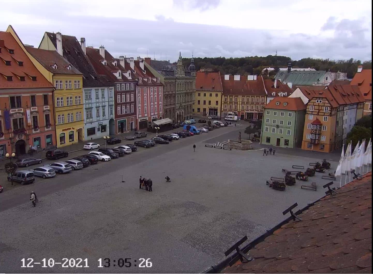
Karlovy Vary Region, Czechia — 40 km
Bavaria, Germany — 44 km
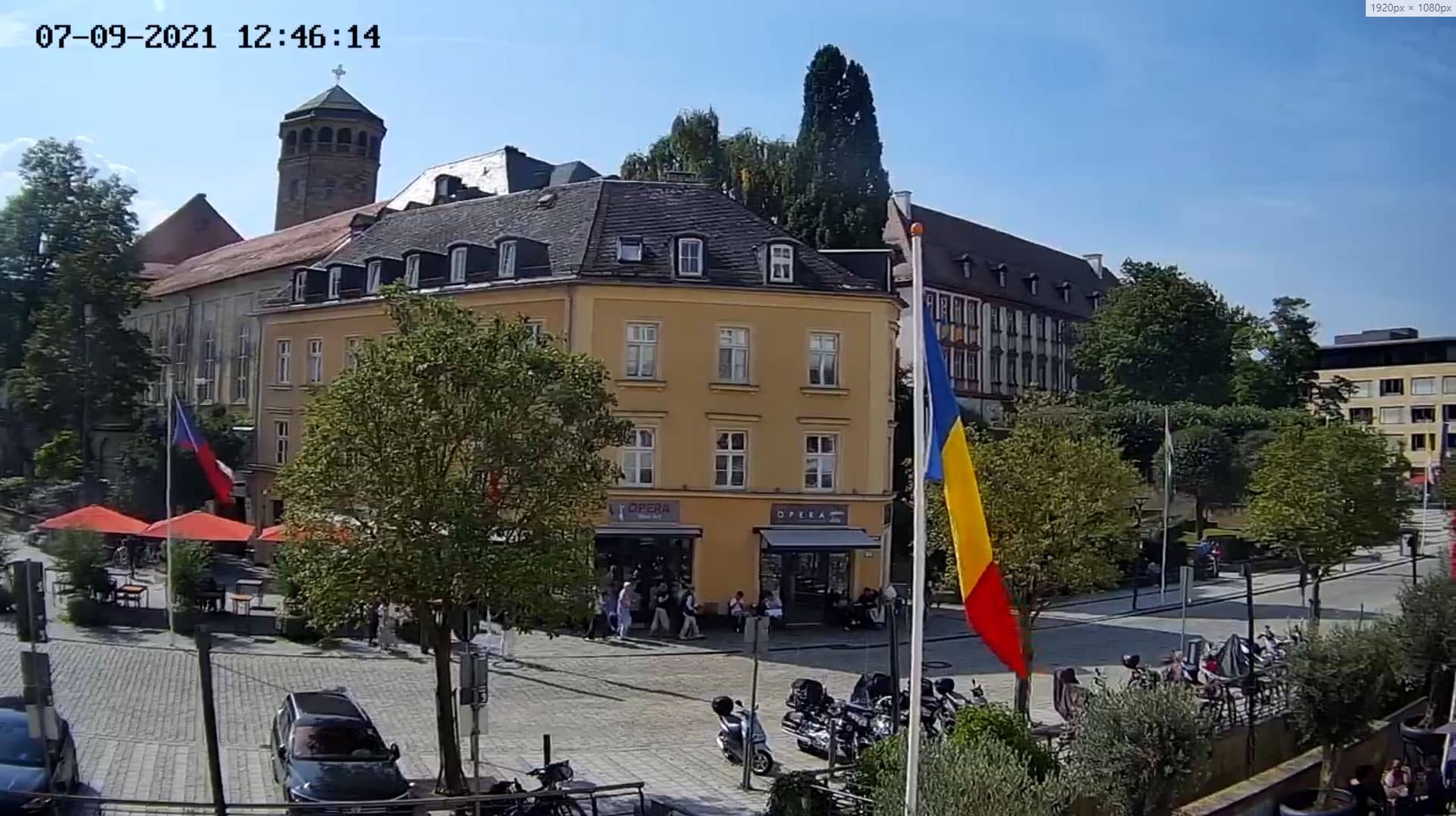
Bavaria, Germany — 45 km
Bavaria, Germany — 58 km
Bavaria, Germany — 59 km
The current conditions and a three-day forecast for Hof are shown in the weather block on this page, updated automatically. Check it before watching the live view to understand visibility and cloud cover.
The local time for Hof is displayed on this page and follows German local time, including daylight saving changes. The clock updates with the live view.
The camera is at Hof-Plauen Airport in the Hof area of Bavaria, Germany, close to the border with Saxony and the Czech Republic. The map on this page marks the exact position.
Daylight hours give the clearest picture, and early morning or late afternoon usually offers the best light. Weather often changes quickly over the Fichtelgebirge foothills, so check back during the day.
Partner links: we may earn a commission at no extra cost to you.