Langeoog - Hauptstrand
Lower Saxony, Germany — 2.5 km
Langeoog - Sportboothafen
🇩🇪 Lower Saxony · Germany
This live view looks over the sportboat harbour on Langeoog, one of the East Frisian islands in the North Sea. It is useful for checking how boats and water are moving before a trip to the island or simply for seeing the coastal light from afar.
Langeoog lies in the Wadden Sea off the coast of Lower Saxony, Germany. The island is car-free, so people get around on foot, by bicycle or by the small tractor-drawn wagons. Its character comes from wide sandy beaches, dunes, salt marshes and the tidal flats that change twice a day. The village is small and calm, and the harbour is one of the main points where visitors and local boats meet the mainland ferry route.
The camera is aimed at the harbour area, so the most interesting moments are usually around the tide changes, when the water level shifts noticeably and boats move in or out. Depending on the view, you may see moored vessels, the harbour entrance and the open water beyond it. Weather is a strong factor here: wind and cloud change the look of the sea quickly, and early morning or late afternoon often gives the warmest light.
The climate is mild and maritime, with cool summers and windy autumns and winters. Late spring and summer are the most popular months for a visit. The island is reached by ferry from Bensersiel or Harlesiel, and the nearby Langeoog main beach camera and the Dornum camera give a wider sense of conditions along this coast. Check the live weather block on this page before planning a day trip.
Source: feratel.com
Lower Saxony, Germany — 2.5 km

Lower Saxony, Germany — 2.9 km
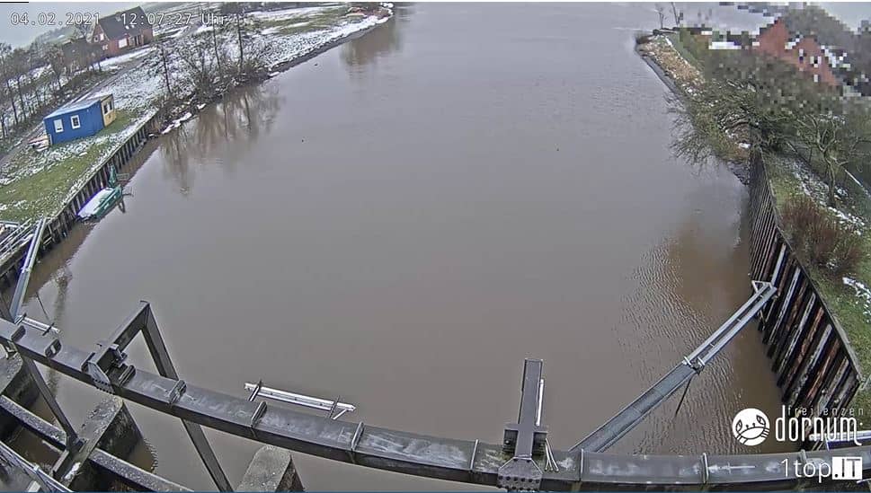
Lower Saxony, Germany — 5.3 km
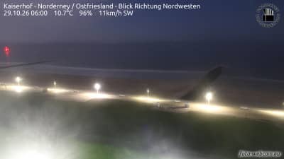
Lower Saxony, Germany — 23 km
Lower Saxony, Germany — 26 km
Lower Saxony, Germany — 26 km
Lower Saxony, Germany — 27 km
Lower Saxony, Germany — 35 km
Lower Saxony, Germany — 40 km
Lower Saxony, Germany — 45 km
The live weather block on this page shows current conditions for Langeoog together with a three-day forecast. It updates with the page, so it reflects the latest available data.
The local time block on this page shows the current time on the island, which follows German time with daylight saving changes. It is useful when planning ferry connections from the mainland.
The camera overlooks the sportboat harbour on Langeoog, in the Wadden Sea off Lower Saxony. The map on this page marks its position so you can see the surrounding coastline.
Tide changes and calm, clear mornings or late afternoons are often the most interesting. Stormy weather can also make the harbour lively, so the view depends on conditions that day.
Partner links: we may earn a commission at no extra cost to you.