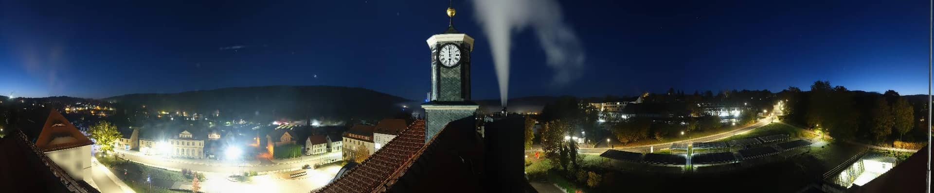
Zella-Mehlis - Rathaus
Thuringia, Germany — 7.1 km

Oberhof - Schneekopfturm
🇩🇪 Thuringia · Germany — Altitude 1005 m
This live camera looks out from the Schneekopf tower above Oberhof, a winter sports town in the Thuringian Forest. It is useful for judging current visibility, snow cover and cloud conditions over the high forest ridges. The page also shows local time and a short weather forecast.
Oberhof sits at roughly 1005 metres on the Schneekopf massif, one of the highest points of the Thuringian Forest in central Germany. The town is best known as a home of biathlon and winter sports, and it hosts major international competitions on its ski and shooting facilities. The surroundings are a mix of spruce and beech woodland, open meadows and quiet valleys that change noticeably from season to season.
The view is taken from a tower and is most informative when you want to see how the forest and high ground look in real conditions. Watch in the morning for clear light and early fog that often hangs in the valleys, or in the late afternoon when the low sun brings out the shape of the ridges. In winter, snow cover and fresh snowfall are the main things to follow, while in summer the view mainly reflects cloud and visibility.
Oberhof has a cool, often damp continental climate, with the coldest and snowiest weather usually between December and February. Late winter and early autumn tend to offer stable, pleasant conditions for walking, though the high ground can be windy at any time. Nearby, you can compare conditions with the Zella-Mehlis town hall, the Ilmenau Kickelhahn tower and the Inselsberg lookout near Bad Tabarz.
Source: panomax.com
Thuringia, Germany — 7.1 km

Thuringia, Germany — 8.3 km

Thuringia, Germany — 29 km
Thuringia, Germany — 30 km

Thuringia, Germany — 30 km
Thuringia, Germany — 41 km
Thuringia, Germany — 44 km
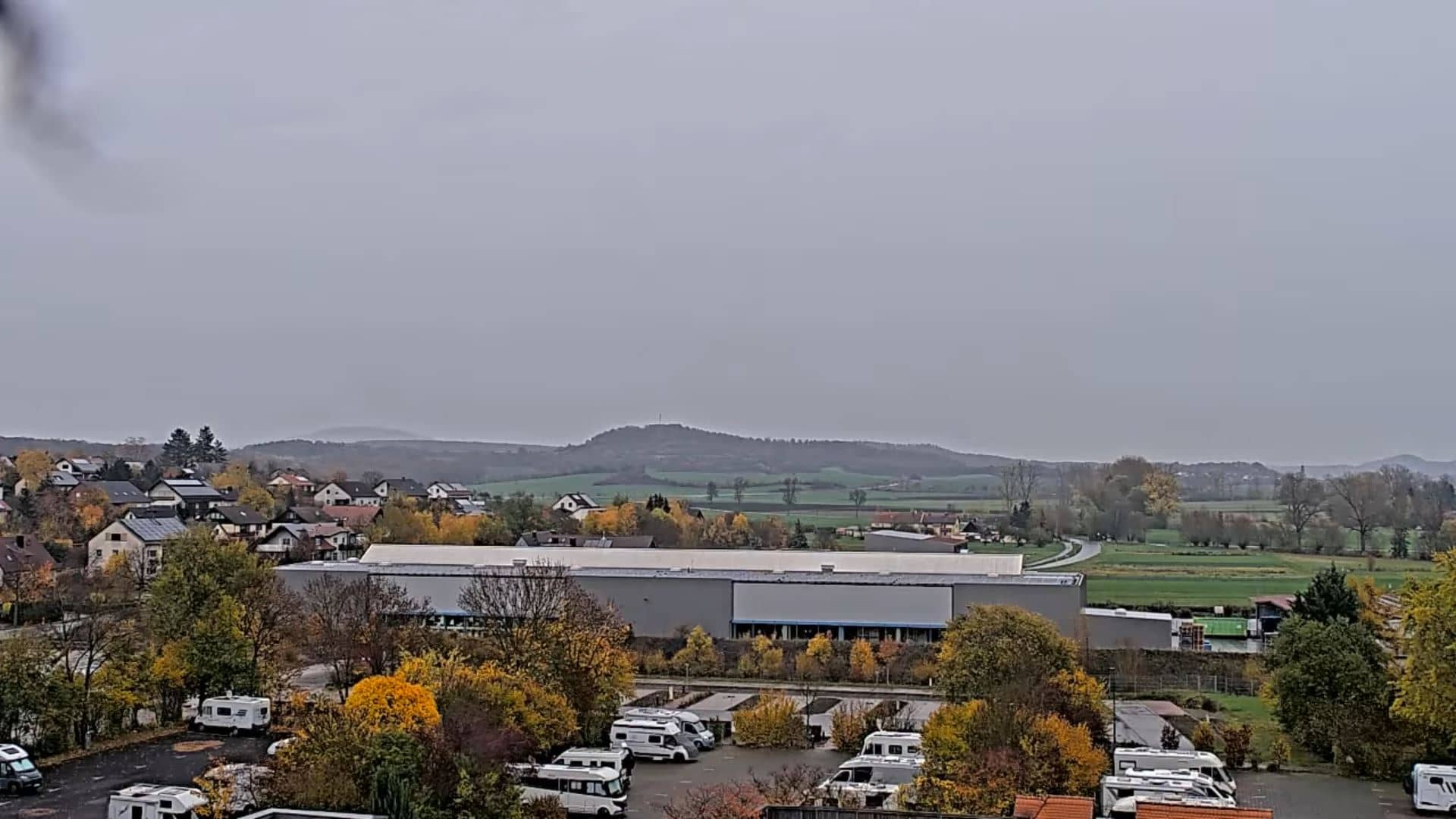
Bavaria, Germany — 45 km
Bavaria, Germany — 48 km
Thuringia, Germany — 49 km
The current conditions and a three-day forecast are shown in the weather block on this page. Because Oberhof is high in the Thuringian Forest, it can be noticeably colder and windier than nearby towns.
The local time is displayed on this page and updates automatically. Germany uses Central European Time, with daylight saving time in summer.
The camera is mounted on the Schneekopf tower above Oberhof in the state of Thuringia, at an altitude of about 1005 metres. The exact position is also shown on the map on this page.
Early morning and late afternoon usually give the clearest light and the best view of the ridges. In winter, check after fresh snowfall to see how much snow has settled on the forest.
Partner links: we may earn a commission at no extra cost to you.