Πλατεία Συντάγματος
Attica, Greece — 2.2 km
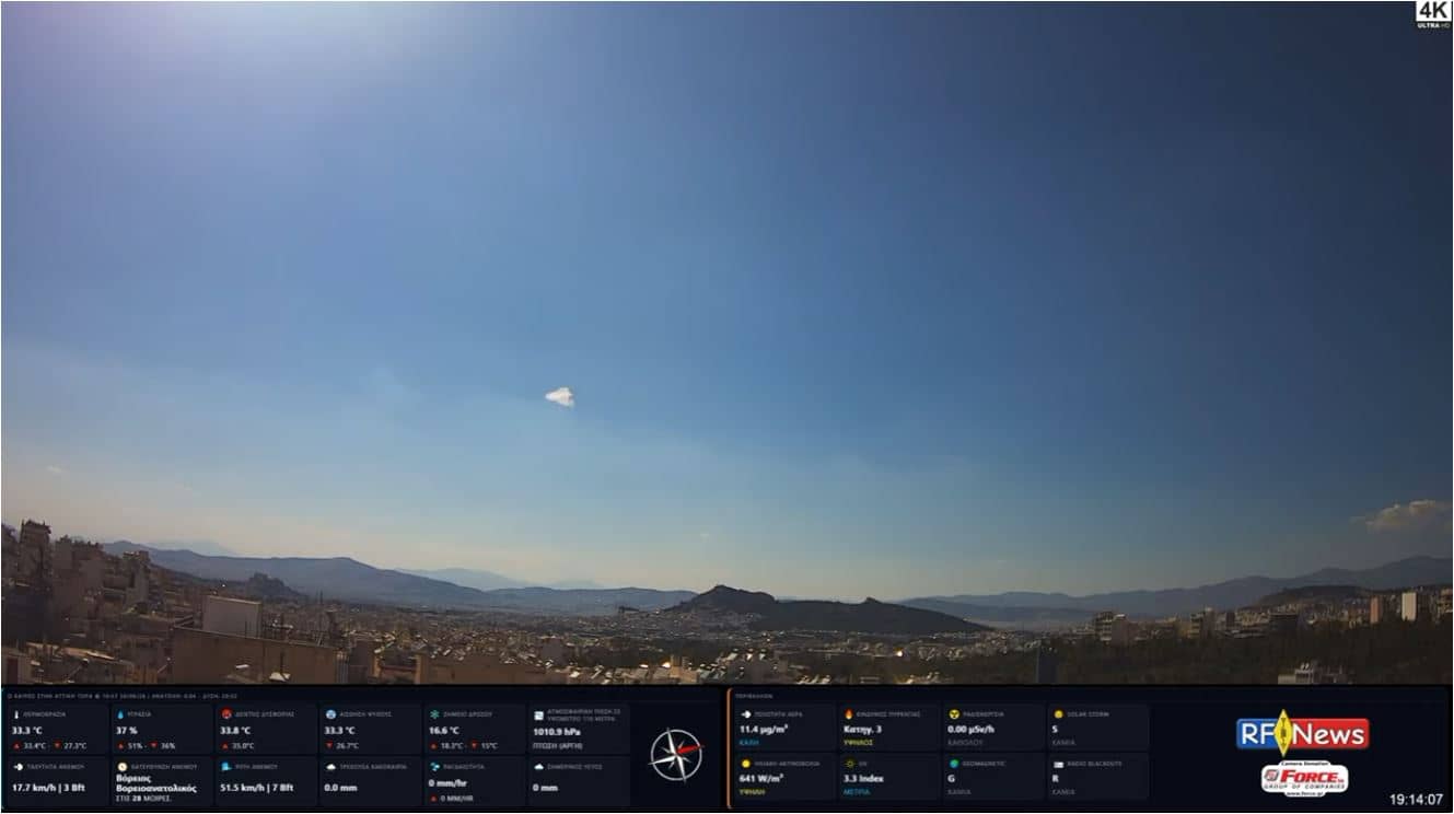
Athènes - Kaisariani
🇬🇷 Attica · Greece — Altitude 136 m
This live camera looks out over the Kaisariani area on the eastern side of Athens, a district that sits at the foot of Hymettus, the mountain that gave Attica its famous honey. It is a good way to see how the city looks from a higher, quieter vantage point than the busy centre. The page also gives you the local time and weather, so you can judge conditions before you plan a walk.
Kaisariani lies on the eastern edge of the Athenian basin, where the urban fabric meets the slopes of Mount Hymettus. The area is known for its monastery, the Kaisariani Monastery, set in a wooded ravine with a spring and a small historic church, and for the pine and shrub landscape that makes this part of Attica feel greener than the dense city centre. The altitude here is noticeably higher than the Acropolis district, which gives the setting a cooler, more open character.
The title names the Kaisariani area, so the frame is most likely a look across the eastern districts of the city toward the mountain. Depending on the view, you may see rooftops, apartment blocks, roads and the hillside vegetation. Clear mornings are usually the most rewarding, when the air is calm and the light is soft. On hazy summer afternoons the outlines of the slopes can become harder to make out, so check the live picture before you expect a sharp panorama.
Athens has a hot, dry summer and mild, wetter winters, so spring and autumn are the most comfortable times to visit the surrounding hills. Kaisariani is reached by bus or car from the centre, and the monastery area is a pleasant short excursion. For comparison, you can open the Acropolis camera about 2 km away, the Athens main entrance camera 4 km away, or the Neo Iraklio Athens live view 8 km away on this site.
Source: Tsourapas
Attica, Greece — 2.2 km
Attica, Greece — 2.3 km

Attica, Greece — 3.6 km
Attica, Greece — 7.6 km
Attica, Greece — 8.1 km
Attica, Greece — 8.4 km
Attica, Greece — 8.4 km
Attica, Greece — 8.4 km

Attica, Greece — 9.5 km
Attica, Greece — 11 km
The current conditions and a three-day forecast are shown in the weather block on this page. They update with the page, so you can check temperature and sky conditions before deciding whether a view is worth watching.
The local time for Athens is displayed on this page and follows the local clock, including daylight saving changes. Use it to see whether the light in the live view is morning, midday or evening.
The camera is in the Kaisariani district on the eastern side of Athens, at the foot of Mount Hymettus, at an altitude of about 136 metres. The map on this page marks its position.
Clear mornings and early evenings usually give the best light and visibility over the eastern city and the hillside. Hazy summer afternoons can reduce detail, so check the live picture first.
Partner links: we may earn a commission at no extra cost to you.