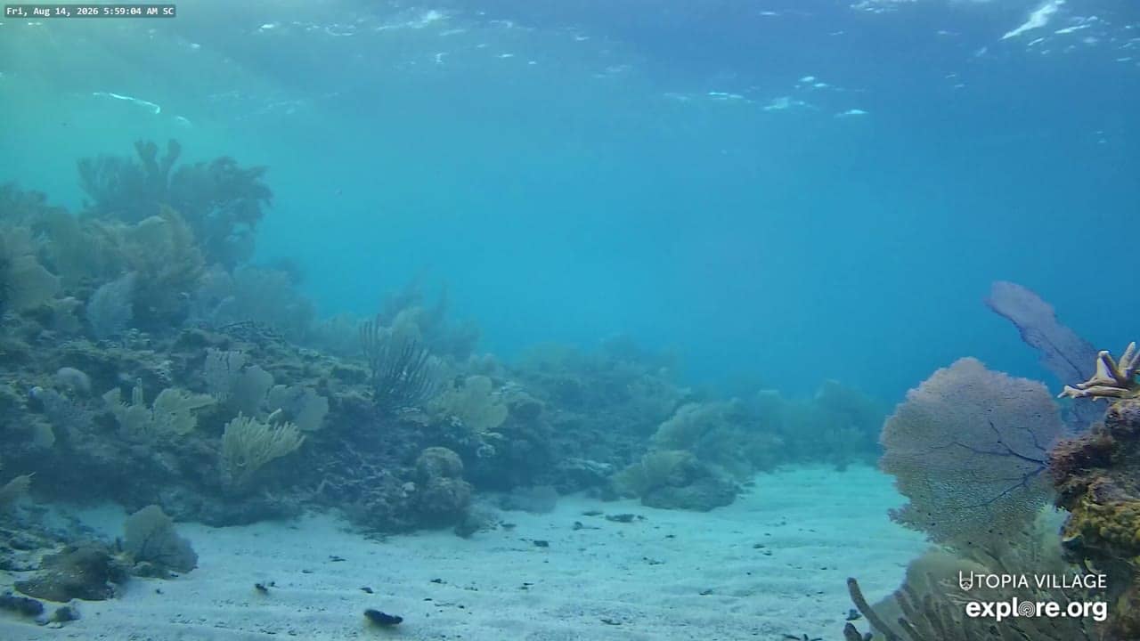
Utila - Sandy Channel Underwater Reef Cam
Bay Islands, Honduras — 0 km
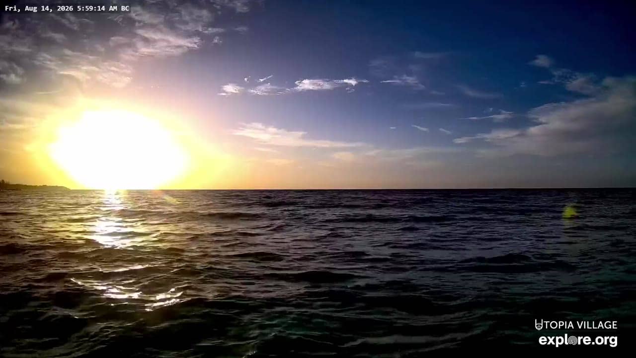
Utila - Back Channel Underwater Reef Cams
🇭🇳 Bay Islands · Honduras — Altitude 19 m
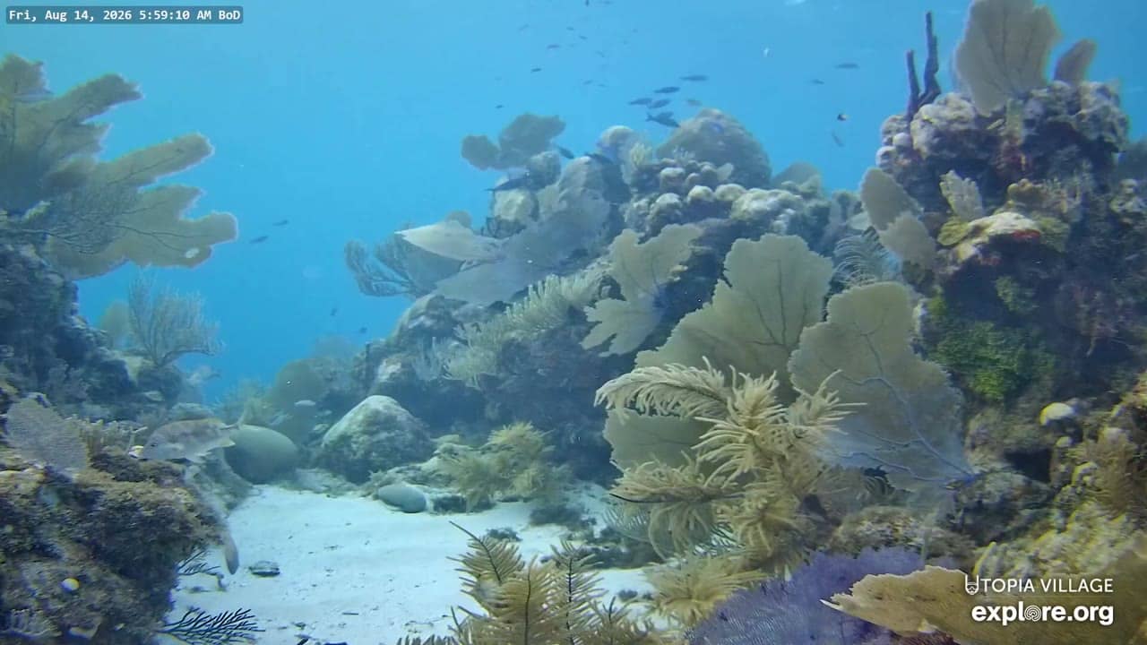
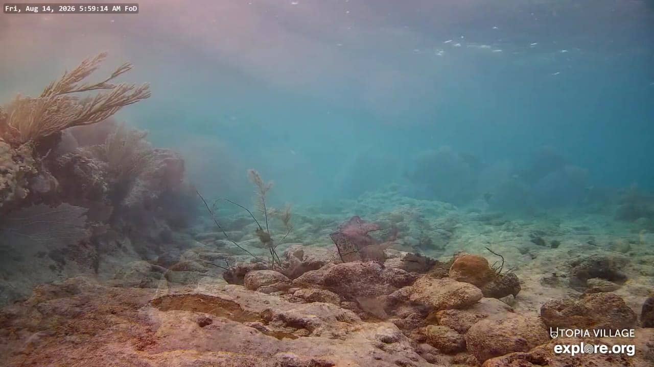
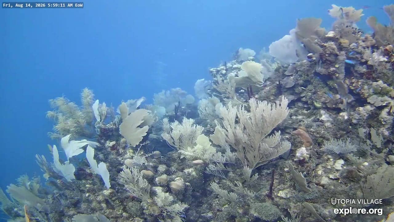
This live feed looks down on the reef in the back channel off Utila, one of the Bay Islands in the Caribbean Sea. It is a useful way to see whether the water is clear and what fish life is moving around before you plan a dive or a snorkel trip.
Utila is a small island off the northern coast of Honduras, part of the Bay Islands group. It is best known as a base for diving and marine conservation, with a relaxed island atmosphere, sandy streets and a harbour full of boats. The surrounding Caribbean waters include the Mesoamerican Barrier Reef, the second largest coral reef system in the world, and the shallow channels between islands are a big part of the island's appeal.
The camera is aimed at a reef in a channel rather than open ocean, so the view changes with the tide, the current and the light. Clear midday sun usually gives the most colour, while early morning and late afternoon can bring softer light and more fish activity. Water clarity varies with rain and wind, so a murky frame does not necessarily mean the reef is unhealthy. Other underwater cameras from the same network are listed nearby for comparison.
Utila has a warm tropical climate, with temperatures typically in the high twenties Celsius. The drier months from late winter into spring are generally considered the most comfortable for visiting, while the wetter season from late summer into autumn can bring storms and stronger winds. Getting to the island is usually by short ferry or small plane from the mainland port cities, and the other reef cameras on this site cover nearby spots in the same area.
Source: explore.org
Bay Islands, Honduras — 0 km
Bay Islands, Honduras — 0 km
Bay Islands, Honduras — 0 km
Bay Islands, Honduras — 0 km
Bay Islands, Honduras — 37 km
Bay Islands, Honduras — 45 km
Belize District, Belize — 236 km
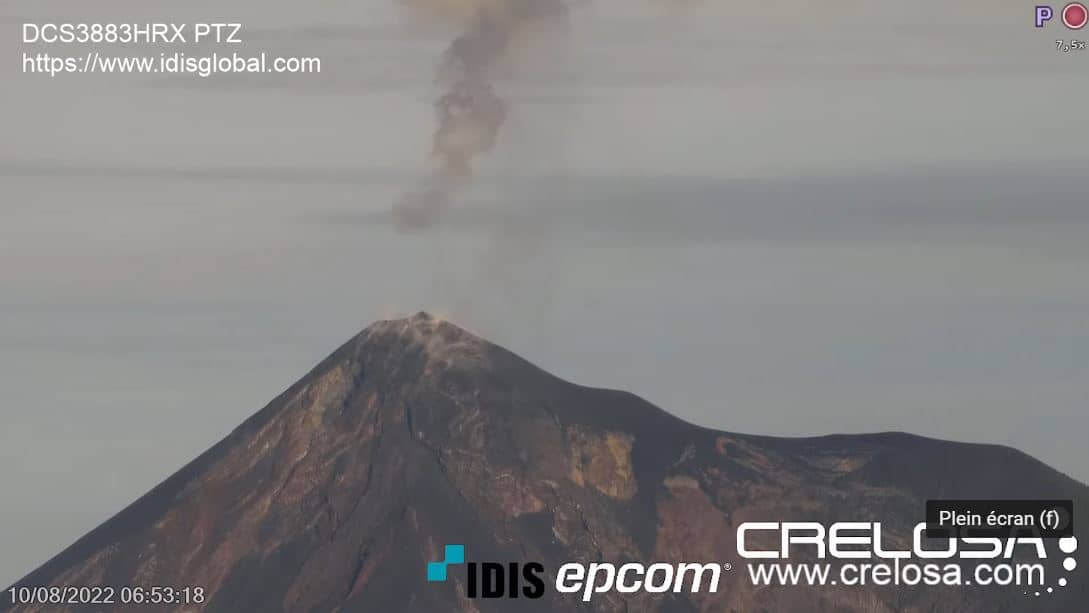
Chimaltenango Department, Guatemala — 465 km
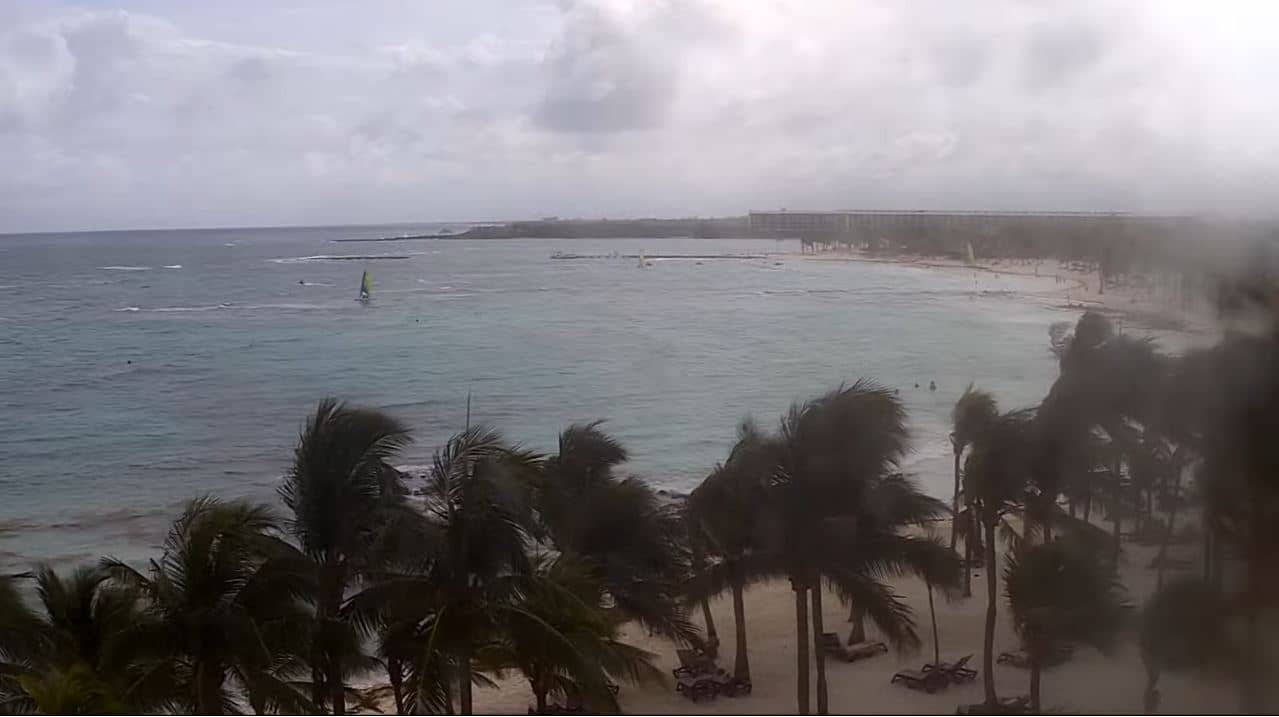
Quintana Roo, Mexico — 489 km

Quintana Roo, Mexico — 501 km
The current conditions for Utila are shown in the live weather block on this page, along with a three-day forecast. Check it before planning time on the water, since wind and rain can change visibility quickly.
The local time for Utila is displayed live at the top of this page, so you can see whether it is a good moment to watch for daylight activity on the reef.
The camera is located in the back channel off Utila, in the Bay Islands of Honduras, and the map on this page marks its position. The stream is provided by its owner, explore.org, and the page links back to the source.
Mid-morning to mid-afternoon usually gives the brightest water and best colour, while calm conditions and clear skies make the view easier to read. Weather can change the picture, so the live forecast on this page is worth checking first.
Partner links: we may earn a commission at no extra cost to you.