Hong-Kong
Hong Kong, China — 1.8 km
Victoria - Hong Kong's 24/7 LIVE camera from The Peak
🇭🇰 Hong Kong · Hong Kong SAR China — Altitude 75 m
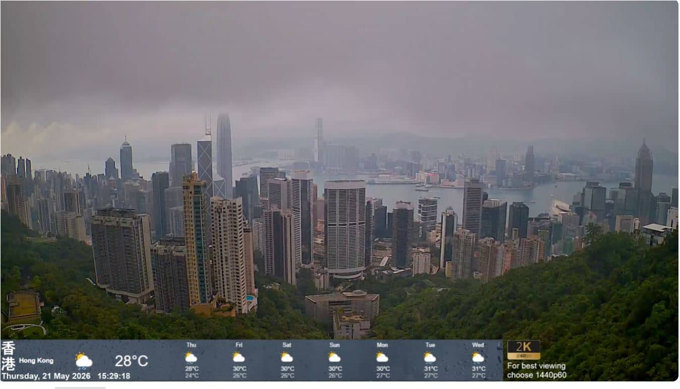
This live camera looks out from The Peak across Victoria, the city centre of Hong Kong Island and its famous harbour. It is useful for seeing how the skyline and water look right now before you plan a visit or simply want to check the city. The page adds local time and weather so you can judge conditions at a glance.
Hong Kong Island rises steeply from Victoria Harbour, and The Peak is its highest accessible viewpoint, roughly 550 metres above sea level. The district below is one of the densest urban areas in the world, with towers stacked along the shoreline and hillsides. Across the water lie the Kowloon peninsula and the New Territories. The view is a good introduction to how the city is organised between mountain and sea.
Depending on the view, you may see ferries crossing the harbour, container ships at anchor, and the lights of the high-rises as the day fades. Evening is generally the most rewarding time, when the illuminated skyline is visible. Hazy days can flatten the scene, while clear, dry weather gives the sharpest outlines. Check the live weather block on this page before expecting a clear picture.
Hong Kong has a humid subtropical climate, with hot, wet summers and mild, drier winters, so autumn and winter are often the most comfortable months to visit the peak. Typhoon season runs roughly from summer into early autumn, so check conditions before travelling. Other Hong Kong cameras on this site are a short distance away, and a camera in Macao, about 66 km west, shows the nearby coast.
Source: myearthcam.com
Hong Kong, China — 1.8 km
Hong Kong, China — 2.4 km
Macau, China — 66 km
Fujian, China — 434 km
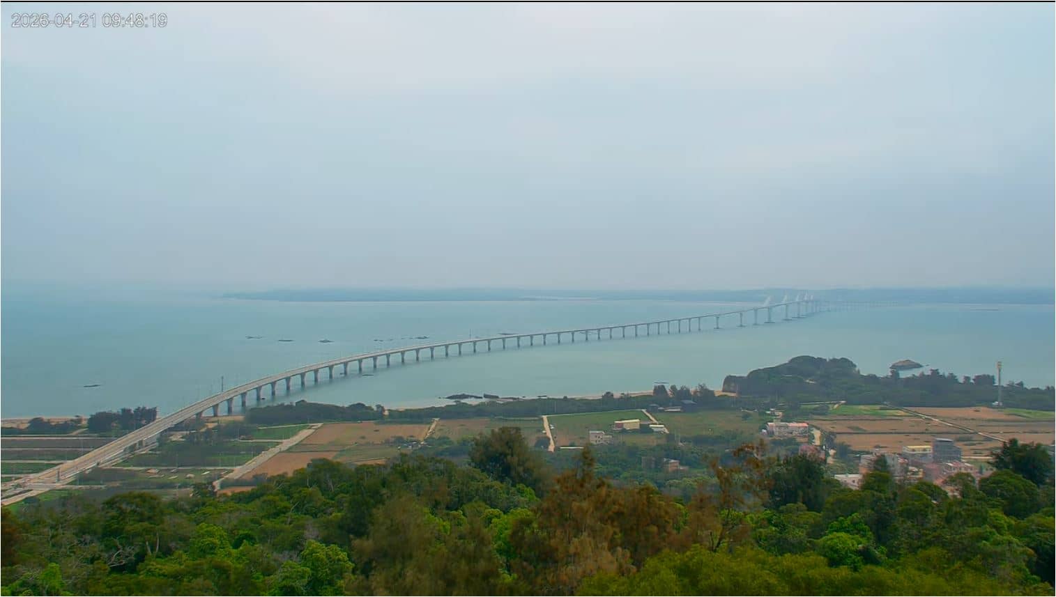
Kinmen, Taiwan — 481 km
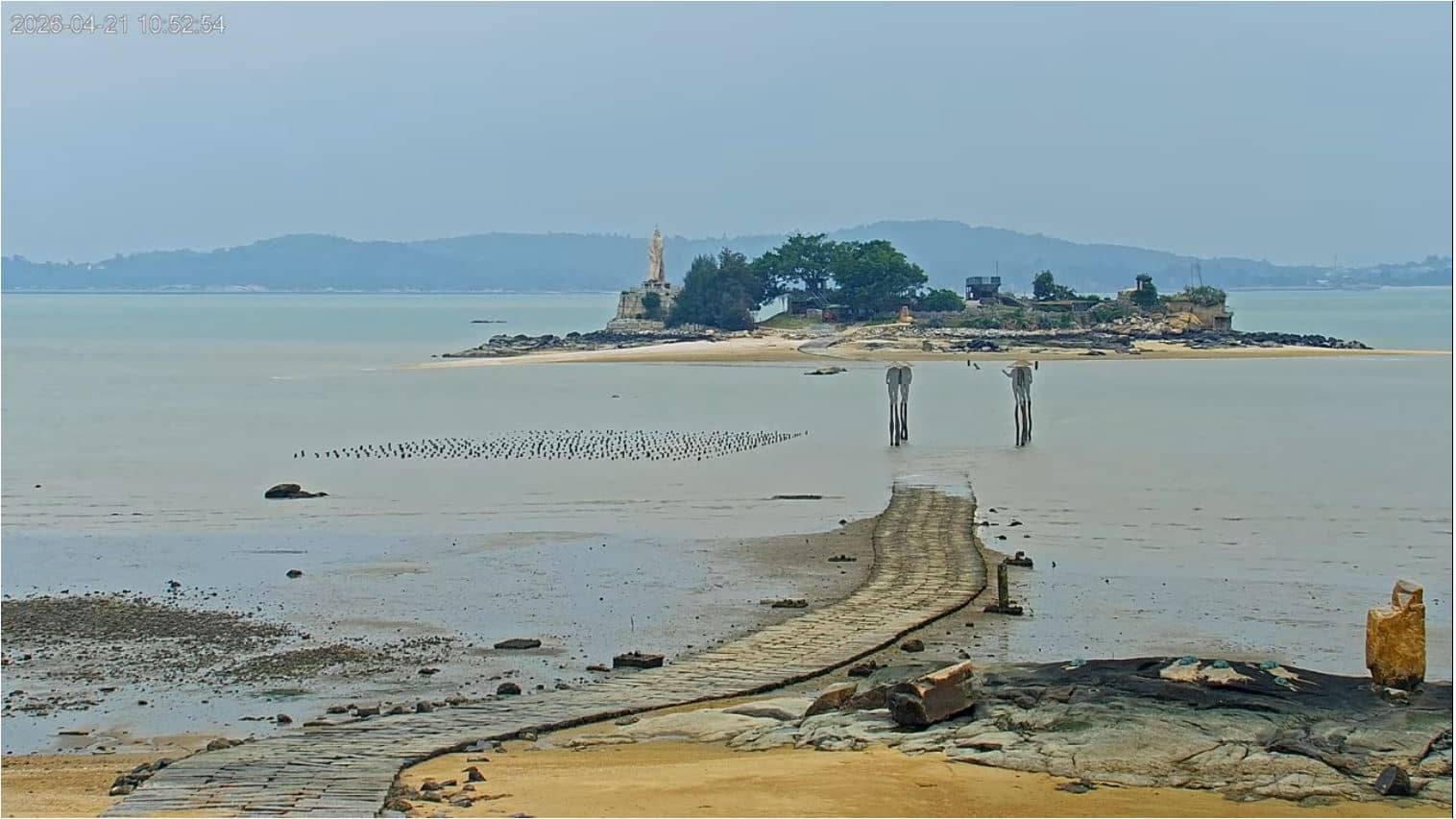
Kinmen, Taiwan — 485 km
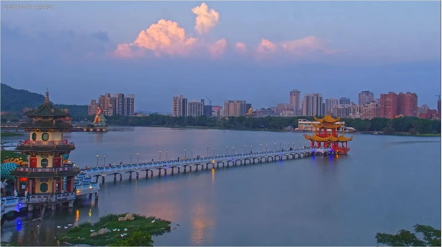
Kaohsiung, Taiwan — 631 km
Yunlin County, Taiwan — 674 km
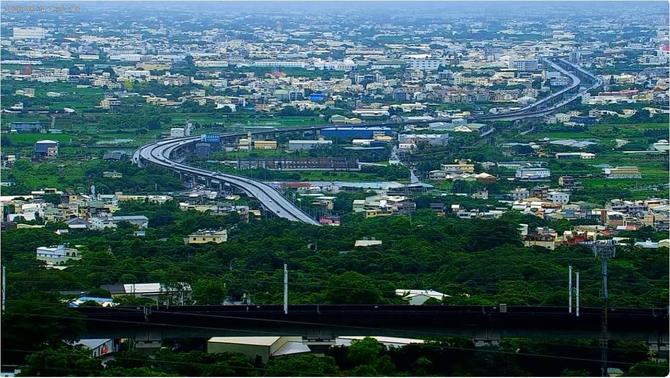
Changhua County, Taiwan — 682 km
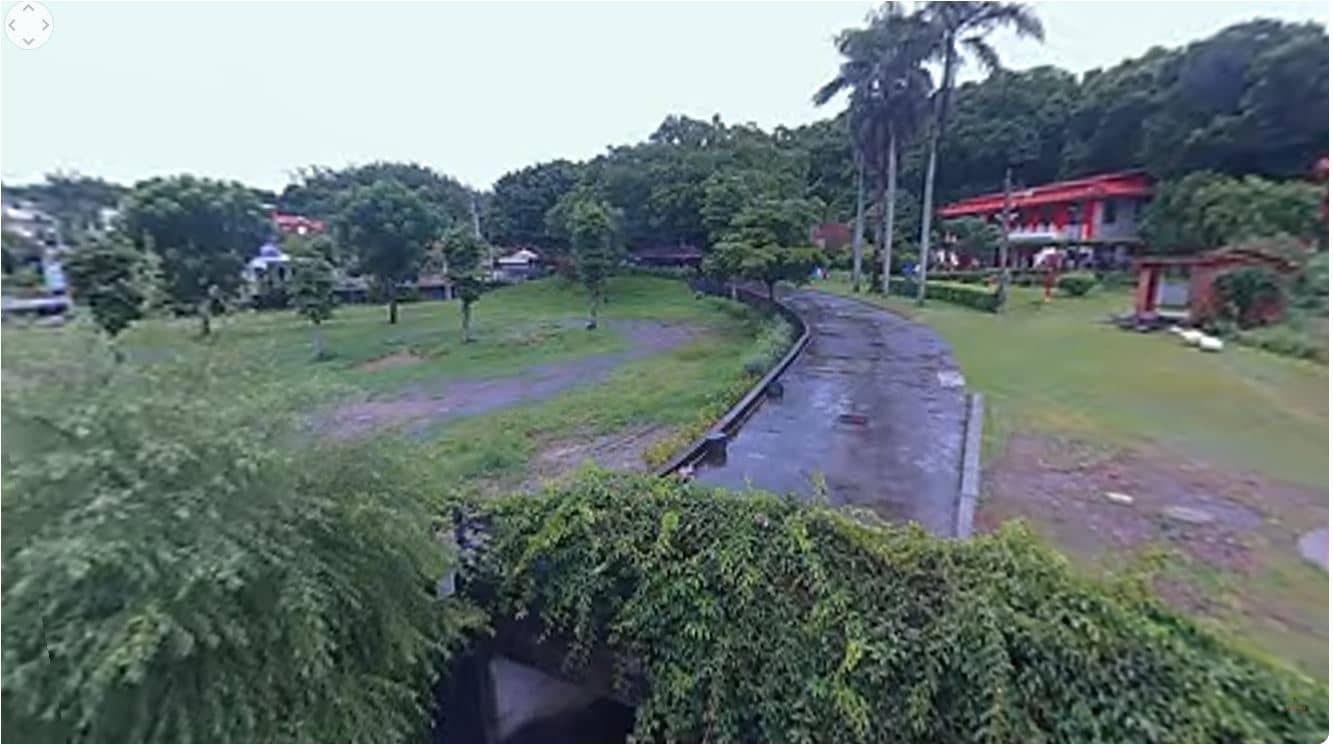
Changhua County, Taiwan — 682 km
The current weather and a three-day forecast for Victoria are shown in the live weather block on this page. The figures update with the page, so you can compare them with the picture from the camera.
The local time for Victoria is displayed on this page and updates live. Hong Kong keeps a single time zone all year, so the time shown is the same for the whole territory.
The camera overlooks Victoria Harbour from The Peak on Hong Kong Island, at an altitude of about 75 metres. The map on this page marks its position relative to the harbour and the surrounding districts.
Evenings are often the most striking, when the city lights come on along the harbour. Clear days after rain, outside typhoon periods, usually give the most detailed view of the skyline.
Partner links: we may earn a commission at no extra cost to you.