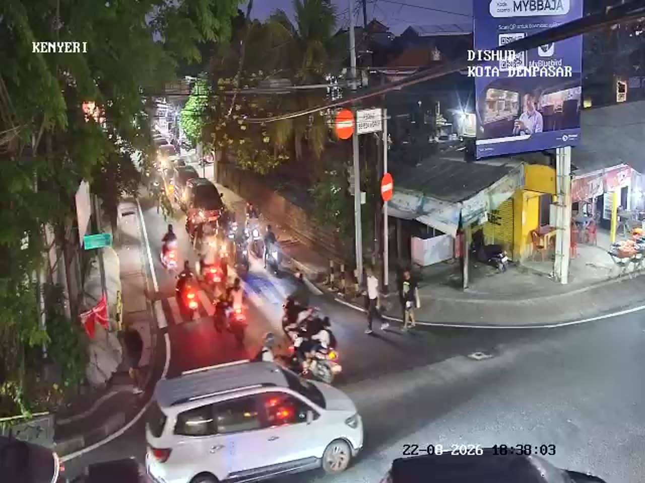
Denpasar - Simpang Gatot Subroto - Kenyeri
Bali, Indonesia — 0.6 km
The camera is temporarily offline
The owner's stream is not available right now. Try again later or watch a camera nearby.
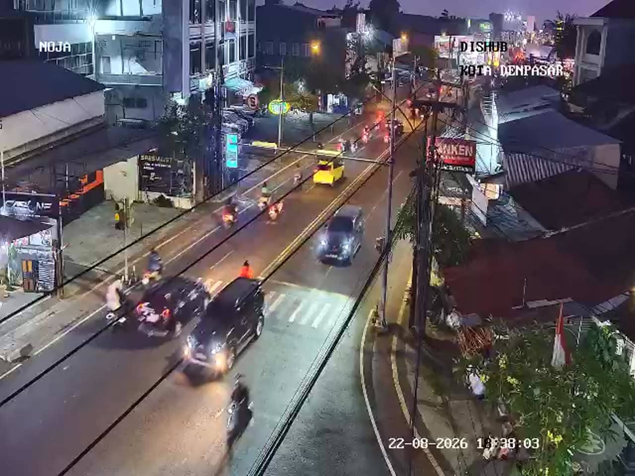
Denpasar - Simpang Gatot Subroto - Noja
🇮🇩 Bali · Indonesia — Altitude 46 m
This live stream follows a busy junction on Gatot Subroto in Denpasar, the capital of Bali. It suits anyone planning a trip around the island who wants to see how traffic is moving before setting off. The feed is a city traffic camera, so the view is practical rather than scenic.
Denpasar is the largest city on Bali and the administrative centre of the island, lying on the southern plain between the coast and the inland mountains. It is a working city of markets, temples, government offices and commerce, and it serves as the main gateway to the beaches and resorts of the south. Its streets carry a steady mix of scooters, cars and minibuses, and junctions like this one are where that flow is most visible. The surrounding area is low, warm and largely flat, with rice fields and small villages giving way to dense urban blocks as you move inland from the coast.
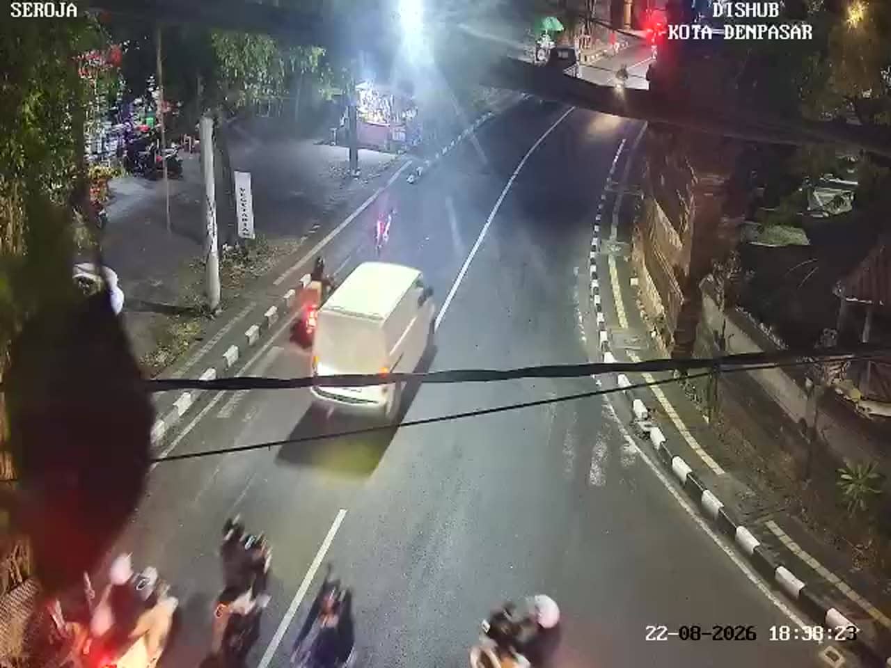
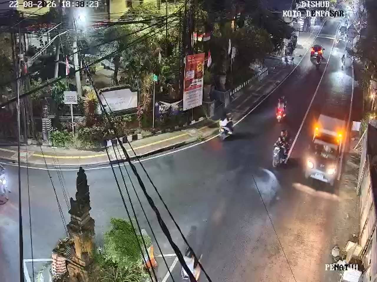
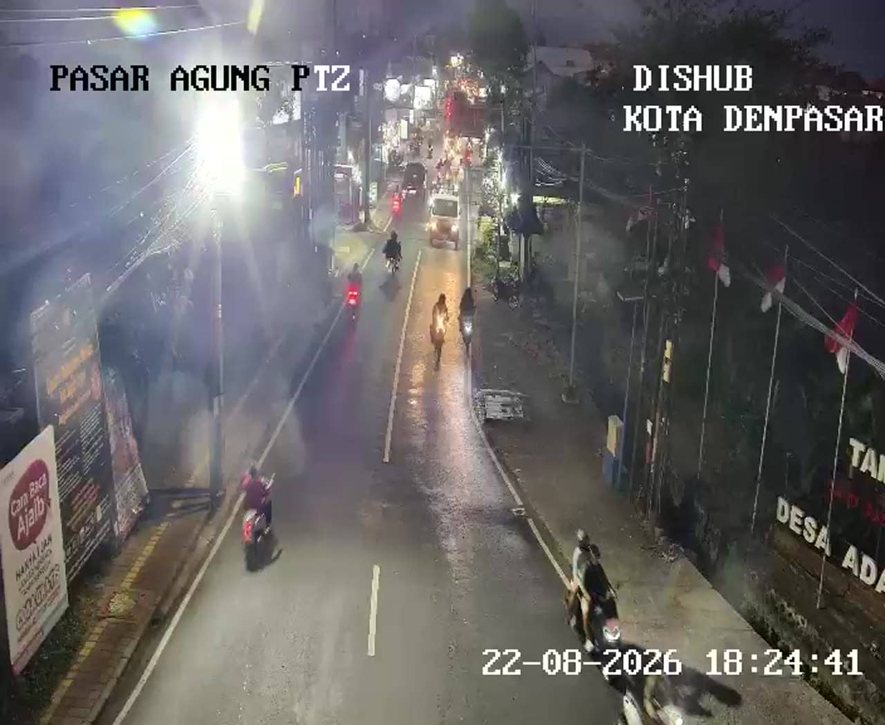
Because this is a traffic camera, the most useful thing to watch is the movement of vehicles through the crossroads. Rush hours in the morning and late afternoon usually bring the heaviest queues, while midday and late evening tend to be calmer. Scooter traffic is a defining feature of Balinese roads, so expect a dense stream of two-wheelers alongside cars. Weather affects the scene noticeably, as heavy tropical rain can slow traffic quickly and reduce visibility. Check the live view to judge conditions before you travel.
Denpasar has a hot, humid tropical climate all year, with a wetter season from roughly November to March and a drier season through the middle of the year. Traffic is heaviest on weekday mornings and evenings, so plan trips to avoid those windows if possible. Other live cameras nearby include Kenyeri and Trenggana on the same road, plus Sari Gading at the Suli crossing, all within about one kilometre. Comparing them can help you choose the quickest route across the city.
Source: atcs.denpasarkota.go.id
Bali, Indonesia — 0.6 km
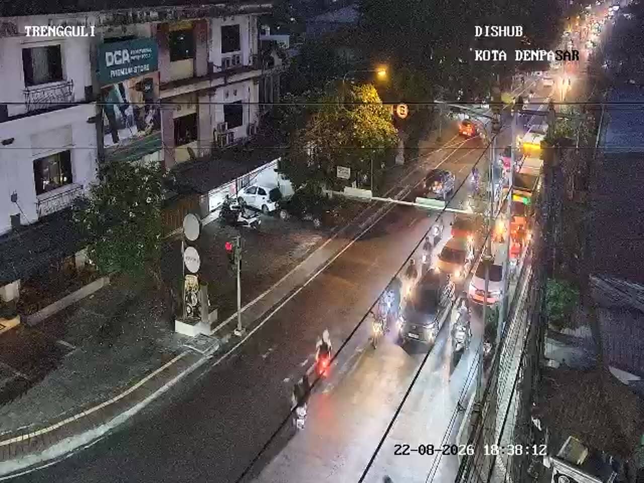
Bali, Indonesia — 0.7 km
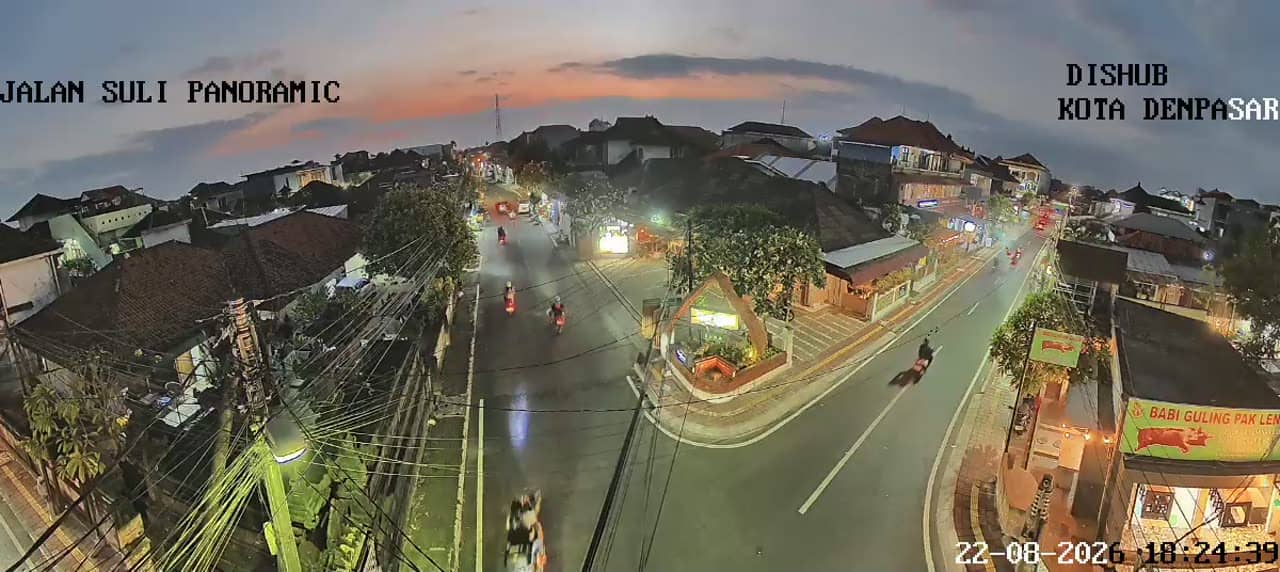
Bali, Indonesia — 1.1 km
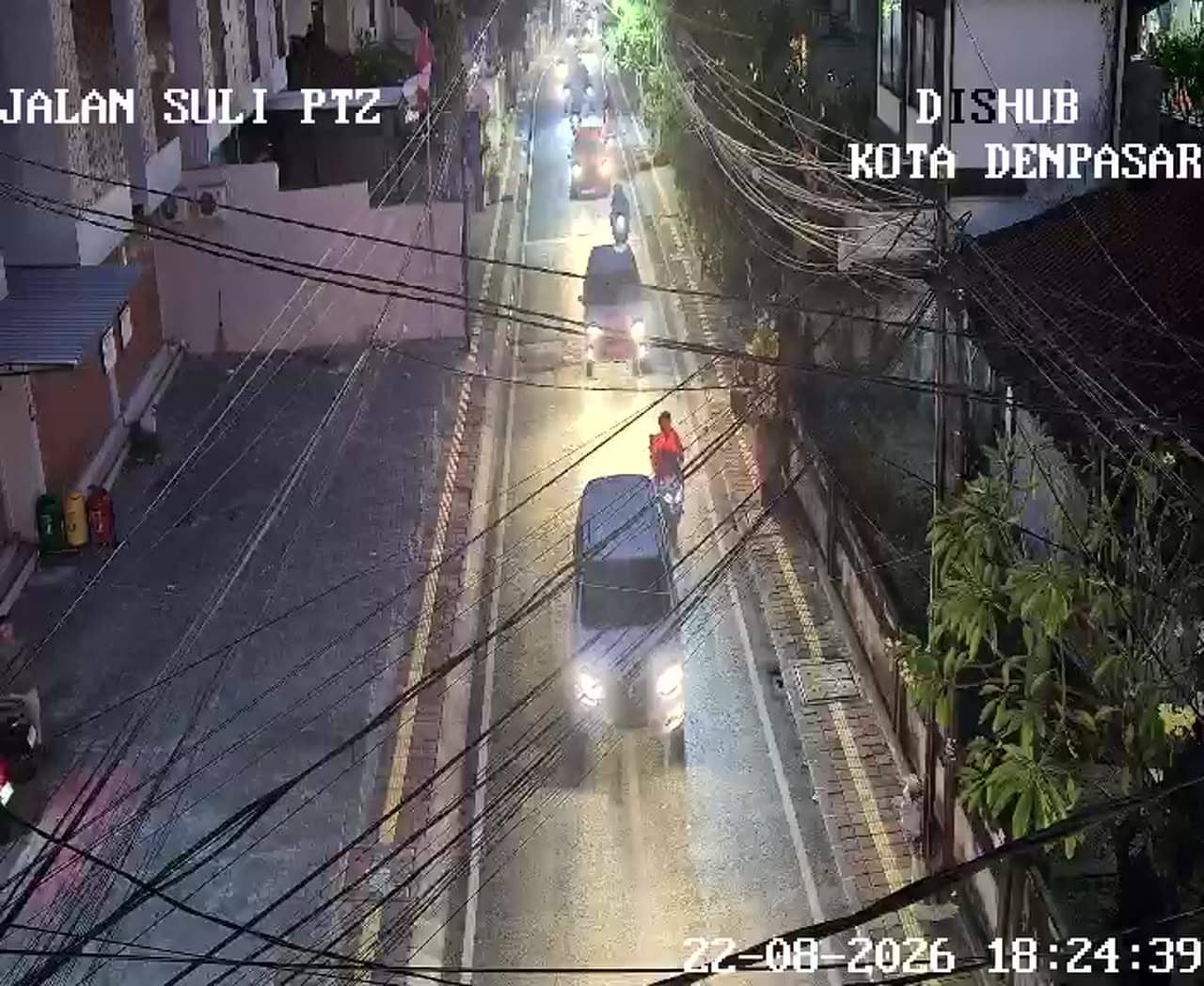
Bali, Indonesia — 1.1 km
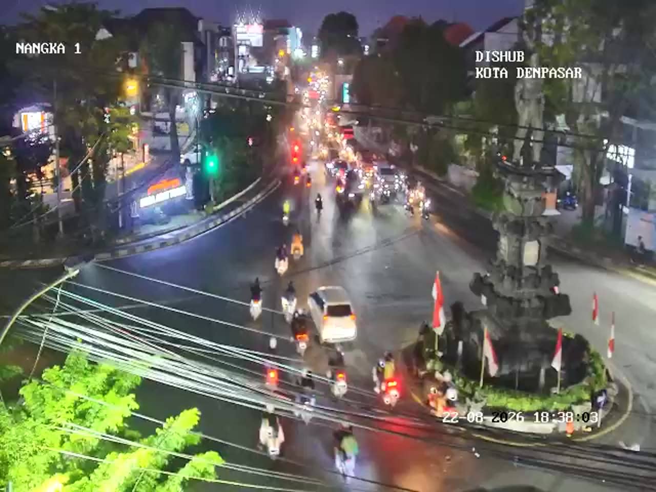
Bali, Indonesia — 1.4 km
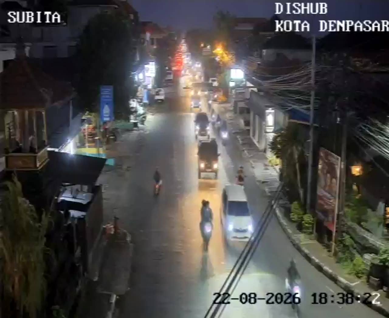
Bali, Indonesia — 1.4 km
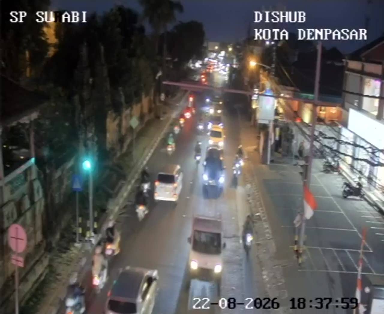
Bali, Indonesia — 1.4 km
Bali, Indonesia — 1.5 km
Bali, Indonesia — 1.5 km
Bali, Indonesia — 1.5 km
The current conditions and the three-day forecast for Denpasar are shown in the live weather block on this page. They update automatically so you can check before heading out.
The local time for Denpasar is shown at the top of this page and updates live. It follows Bali's local time zone, which is different from many European and American cities.
The camera overlooks the Gatot Subroto crossroads in Denpasar, Bali, at an elevation of about 46 metres. The map on this page marks its exact location in the city.
Weekday mornings and late afternoons usually show the heaviest traffic, which is useful for planning. Quieter periods are typically midday and late evening, depending on the day and weather.
Partner links: we may earn a commission at no extra cost to you.