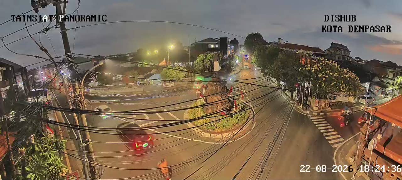
Denpasar - Simpang Nangka Selatan - Pattimura - Banjar Tainsiat Panoramic
Bali, Indonesia — 0 km
The camera is temporarily offline
The owner's stream is not available right now. Try again later or watch a camera nearby.
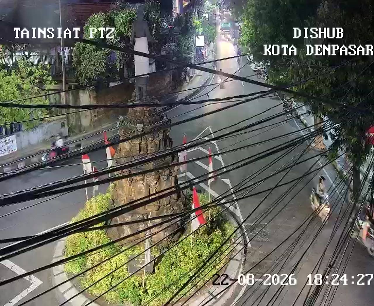
Denpasar - Simpang Nangka Selatan - Pattimura - Banjar Tainsiat
🇮🇩 Bali · Indonesia — Altitude 34 m
This live camera watches a busy urban junction in Denpasar, the capital of Bali. It is useful for seeing how traffic is moving before you travel through the city centre or head toward the airport and the southern coast. The stream is a traffic monitoring feed, so it focuses on the road rather than scenery.
Denpasar is the administrative and commercial centre of Bali, located on the island's south coast. Its streets carry a mix of scooters, cars, minibuses and delivery vehicles, and the city is the gateway for most visitors arriving by air. Temples, markets and government buildings sit alongside dense residential neighbourhoods, so the pace of daily life is visible from the main arteries. Pattimura and the Banjar Tainsiat area are typical of the busy urban corridors that connect the centre with outlying districts.
As a traffic camera, the feed is aimed at vehicle flow, queues and signal cycles at the intersection. Morning and late afternoon are usually the busiest periods, when commuters and school traffic peak, while midday and late evening tend to be calmer. Rain showers, which often arrive in the afternoon during the wet season, can slow traffic noticeably. Depending on the framing at any moment, you may see motorbikes filtering between lanes and buses waiting at the junction.
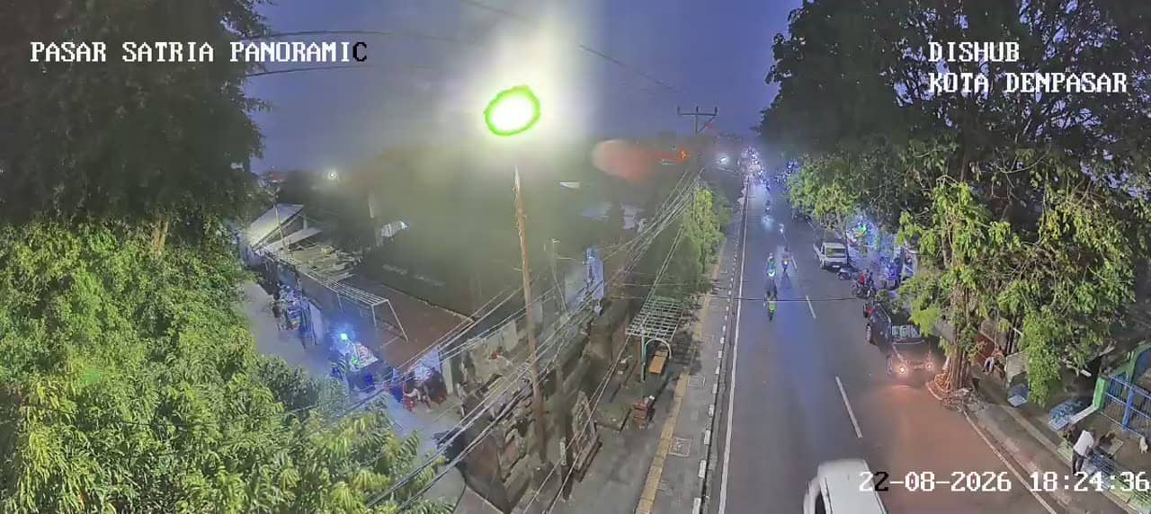
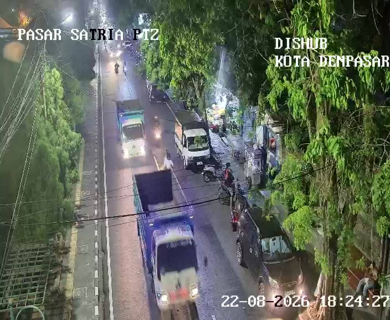
Bali has a tropical climate with warm temperatures year round, a wet season from roughly November to March and a drier period from April to October, which is generally considered the best time to visit. Travel across Denpasar is often easiest early in the morning or after the evening rush. Other feeds in the area include the Panoramic view at the same junction, the Jalan Veteran and Pasar Satria cameras, and the Abimanyu junction on Simpang Veteran, which can help you compare conditions across the city.
Source: atcs.denpasarkota.go.id
Bali, Indonesia — 0 km
Bali, Indonesia — 0.2 km
Bali, Indonesia — 0.2 km
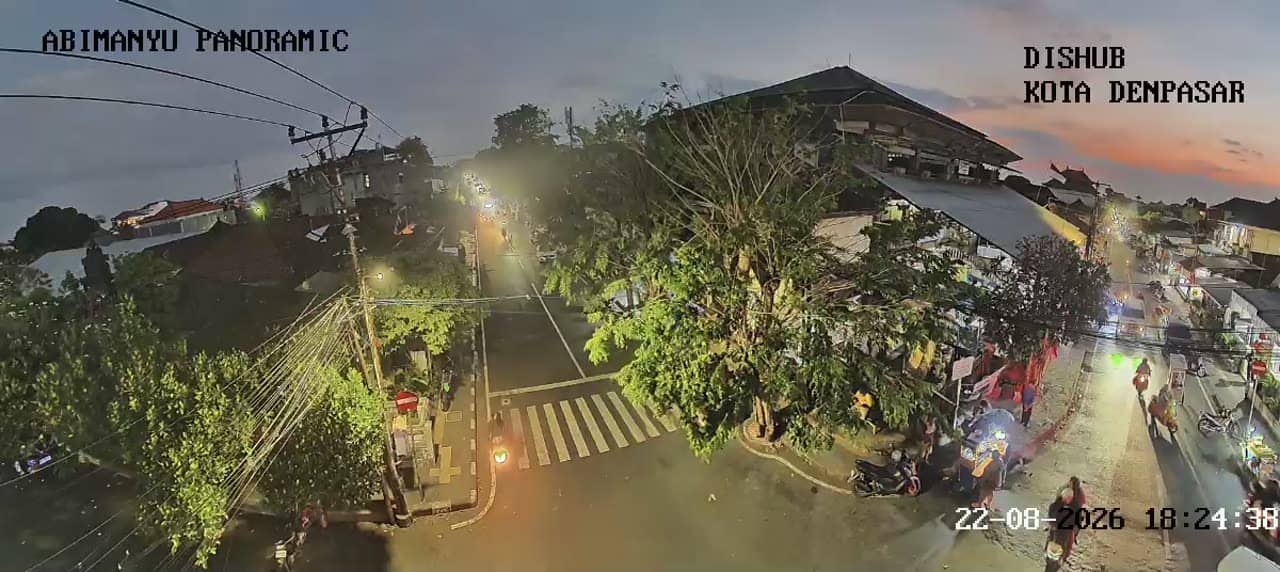
Bali, Indonesia — 0.3 km
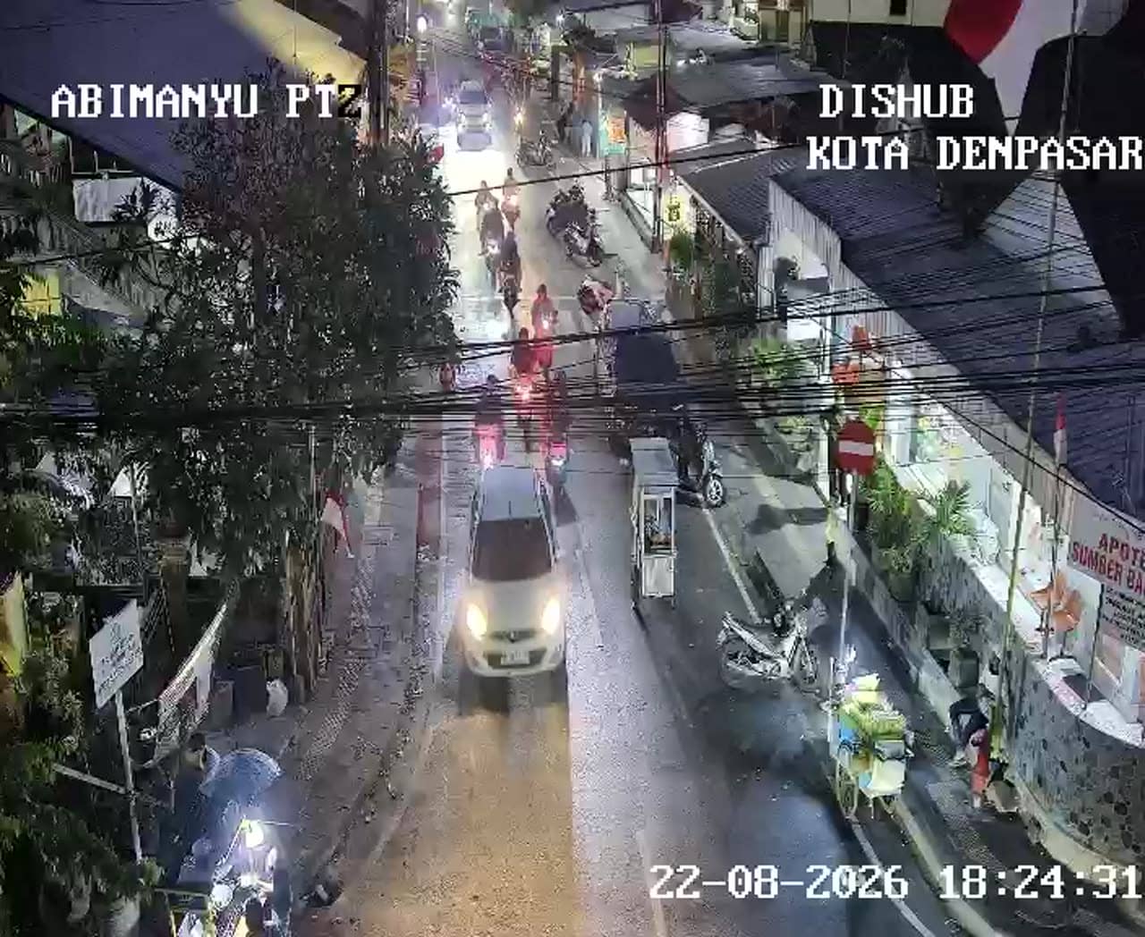
Bali, Indonesia — 0.3 km
Bali, Indonesia — 0.3 km
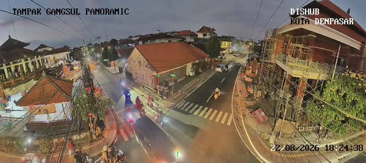
Bali, Indonesia — 0.3 km
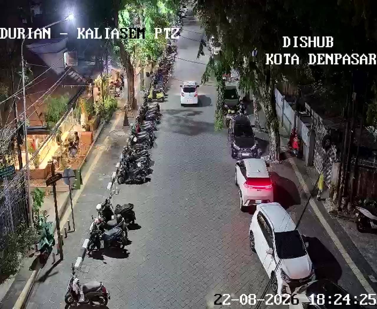
Bali, Indonesia — 0.6 km
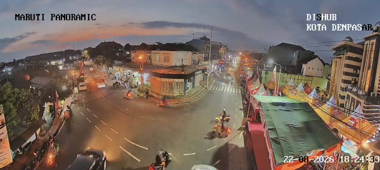
Bali, Indonesia — 0.7 km
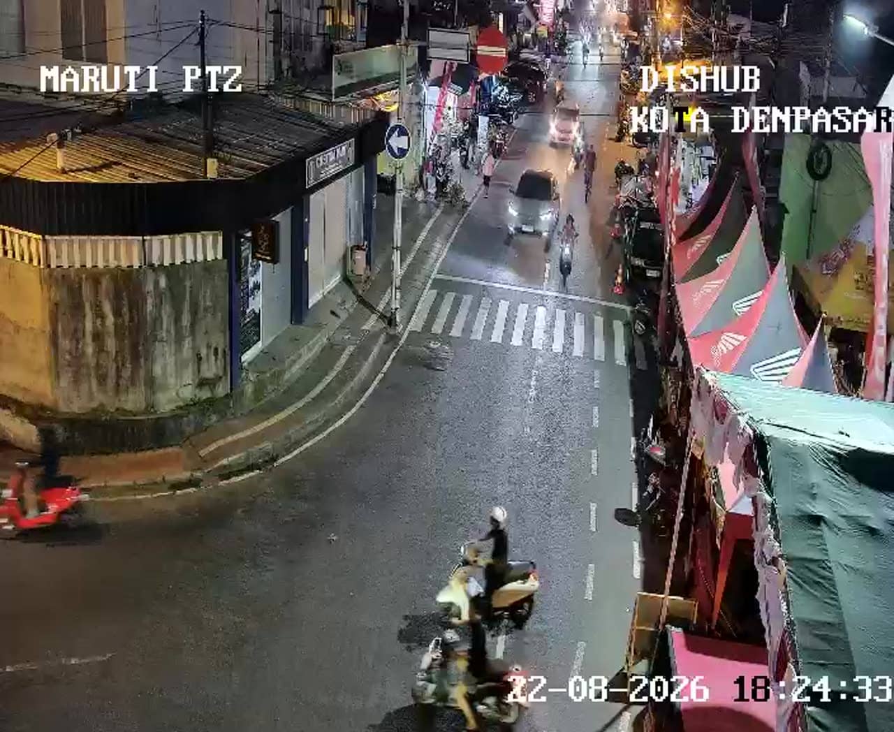
Bali, Indonesia — 0.7 km
The current conditions and the three-day forecast for Denpasar are shown in the live weather block on this page, updated automatically. Bali's temperatures stay warm throughout the year, so check the block for rain expectations.
The local time for Denpasar is displayed live on this page. Bali follows Central Indonesia Time, which is ahead of many European and some Asian time zones, so the clock is the easiest way to plan your call.
The camera overlooks the Simpang Nangka Selatan junction on Pattimura in the Banjar Tainsiat area of Denpasar. The map on this page marks its exact position so you can see the surrounding streets.
Weekday mornings and late afternoons usually show the heaviest traffic and the most activity at the junction. Watching during a rain shower can also show how quickly congestion builds on the city's roads.
Partner links: we may earn a commission at no extra cost to you.