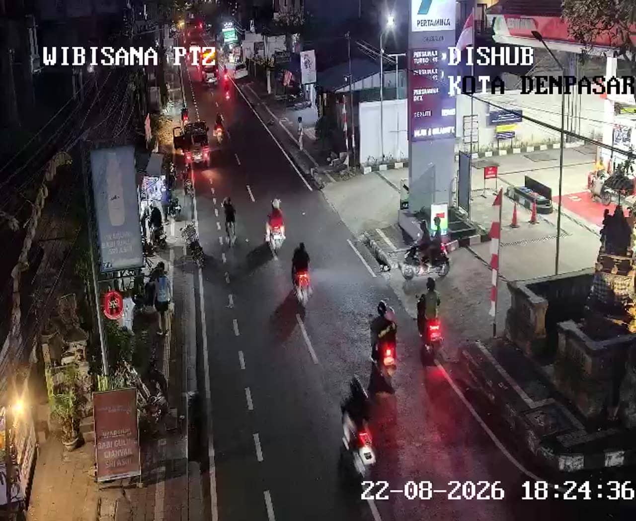
Denpasar - Simpang Setiabudi - Wibisana - Wibisana - Setiabudi
Bali, Indonesia — 0 km
The camera is temporarily offline
The owner's stream is not available right now. Try again later or watch a camera nearby.
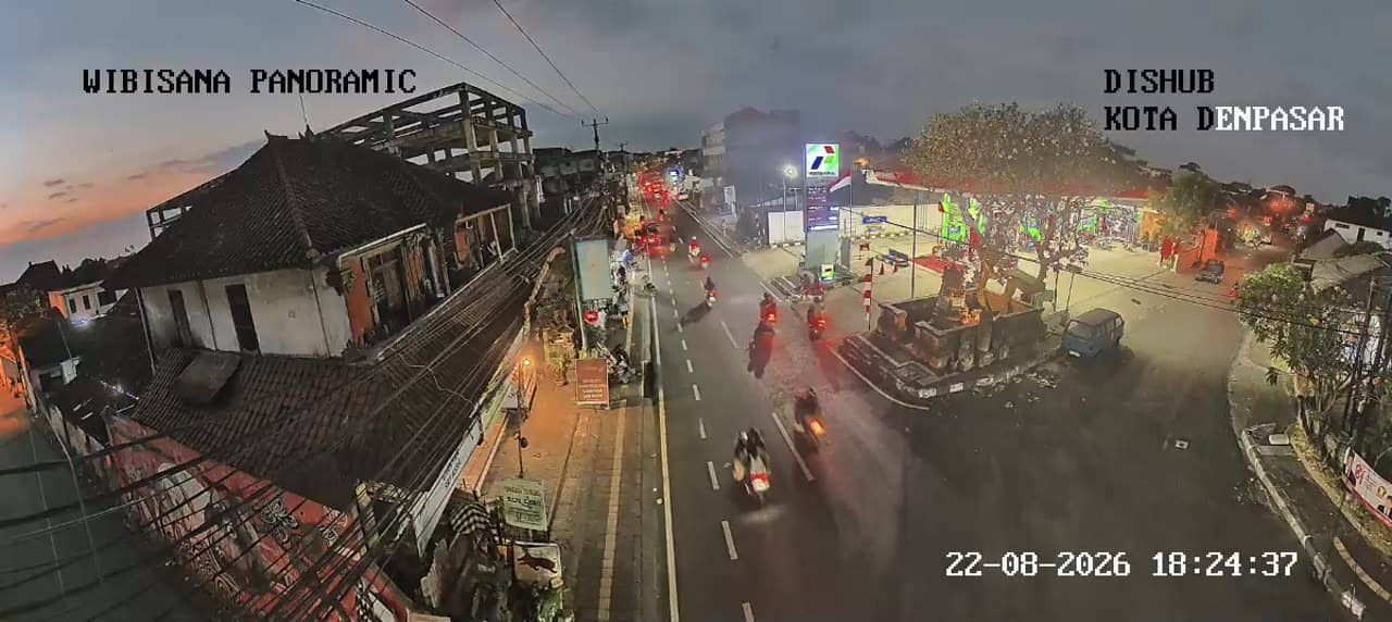
Denpasar - Simpang Setiabudi - Wibisana - Wibisana - Setiabudi Panoramic
🇮🇩 Bali · Indonesia — Altitude 28 m
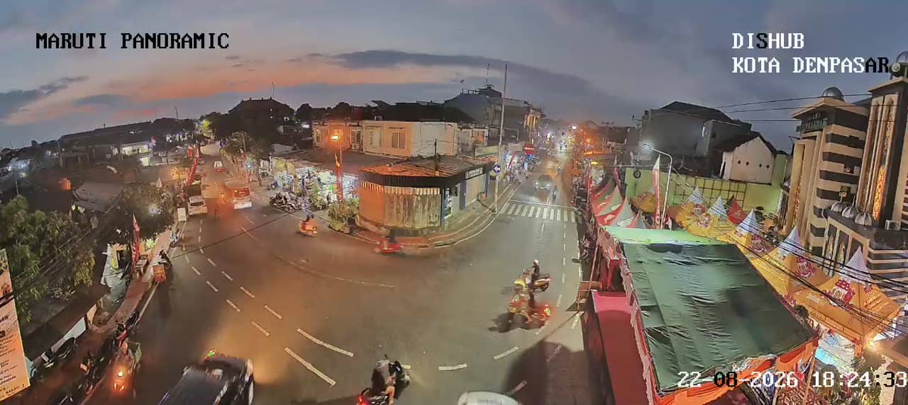
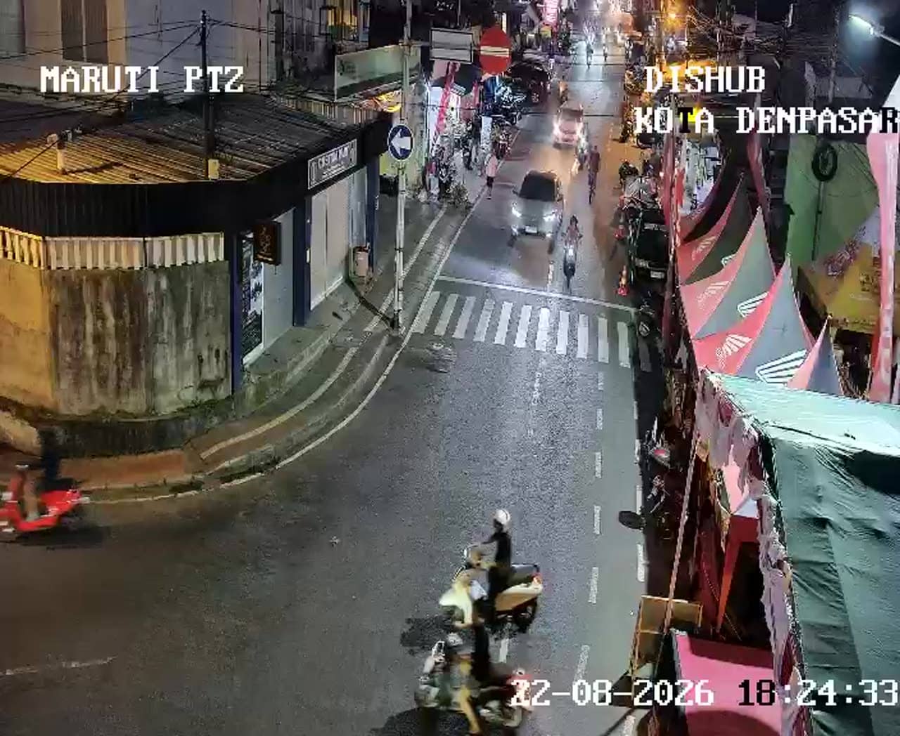
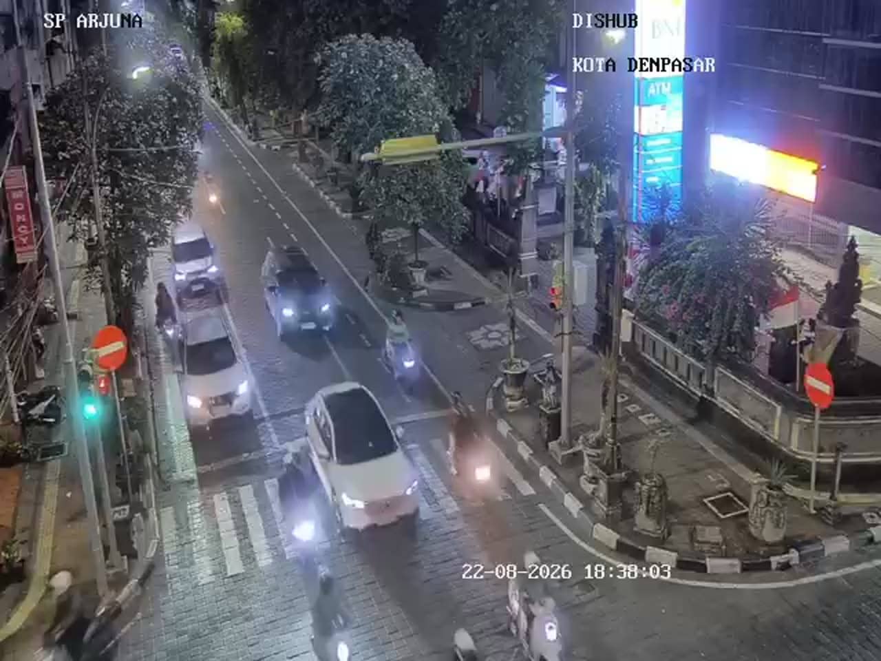
This camera looks over a busy urban junction in Denpasar, the capital of Bali, where the Setiabudi and Wibisana roads meet. It is a practical view for anyone wanting to see how traffic is moving in the city before heading out. The page also shows the local time and the weather for Denpasar.
Denpasar is the administrative and commercial centre of Bali, located in the south of the island close to the coast. Unlike the resort areas of Kuta or Seminyak, the city is a working place, home to government offices, markets, schools and a large local population. The Setiabudi area is one of the main road corridors that carry people between the centre and the surrounding districts, so the junction reflects everyday urban life on the island rather than tourism.
The title identifies a traffic camera with a panoramic setting, so it is intended to show vehicles, motorbikes and the flow through the intersection rather than scenery. Depending on the view, you may see the morning and late afternoon peaks, when commuters and school traffic are heaviest. Rainy periods can slow movement noticeably, and watching the flow during these times gives a useful sense of conditions on the roads.
Denpasar has a tropical climate with a warm temperature all year, a drier season from roughly April to October and a wetter season in the remaining months. The city lies at a low elevation, so the heat and humidity are constant features. Nearby cameras on the same network cover Simpang Setiabudi Sutomo, Banjar Balun and the Gunung Agung road section, which can help you compare traffic in neighbouring parts of the city.
Source: atcs.denpasarkota.go.id
Bali, Indonesia — 0 km
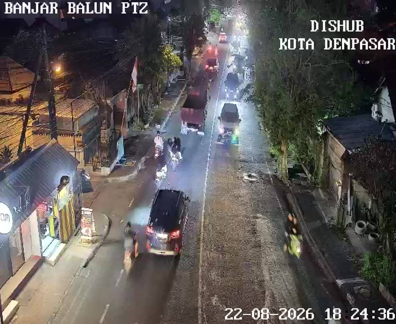
Bali, Indonesia — 0.4 km
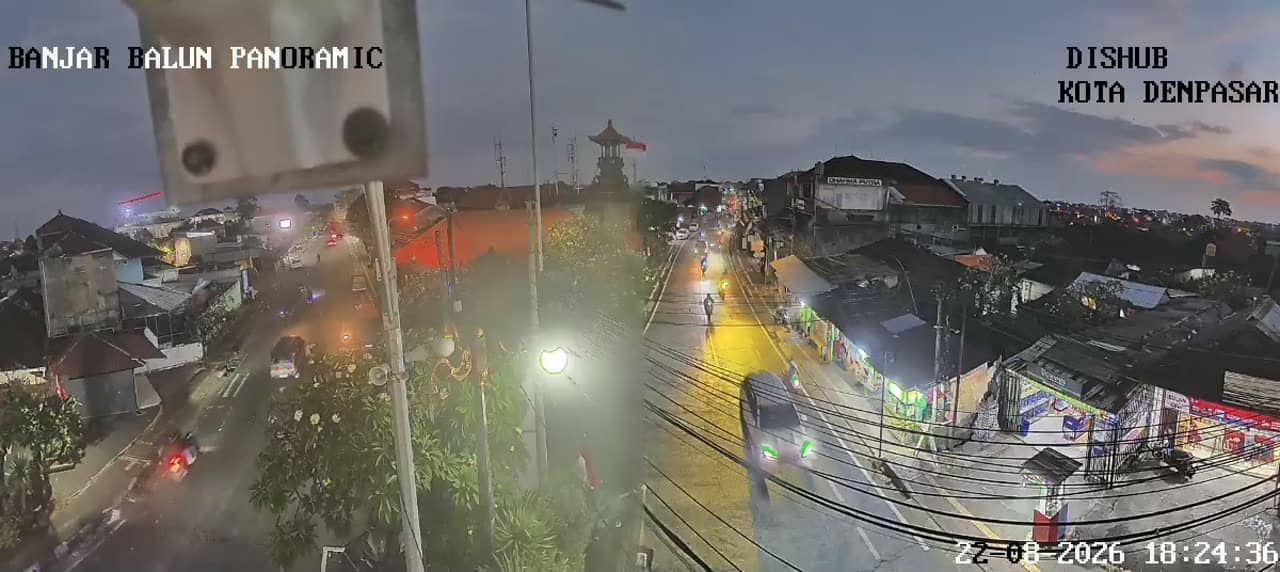
Bali, Indonesia — 0.4 km
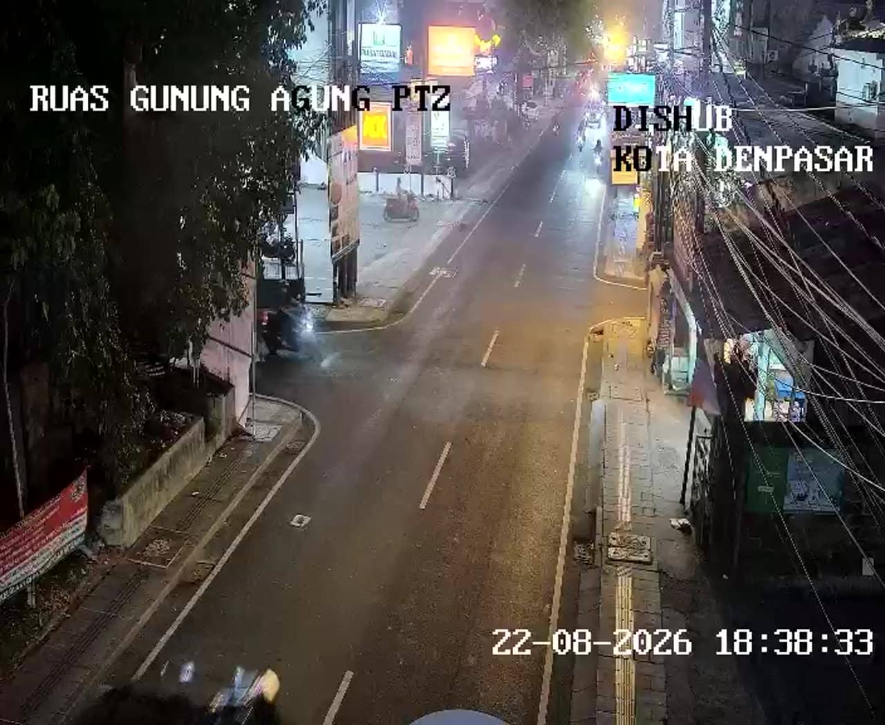
Bali, Indonesia — 0.6 km
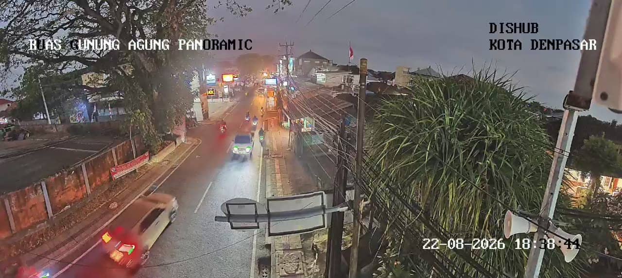
Bali, Indonesia — 0.6 km
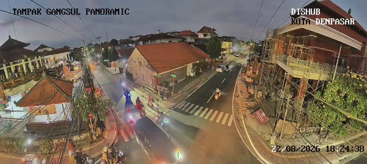
Bali, Indonesia — 0.8 km
Bali, Indonesia — 0.8 km
Bali, Indonesia — 0.8 km
Bali, Indonesia — 0.8 km
Bali, Indonesia — 0.9 km
The current weather and a three-day forecast for Denpasar are shown in the live block on this page. Conditions can change quickly during the rainy season, so check it just before you plan a trip.
The local time for Denpasar is displayed on this page and updates automatically. Bali uses Central Indonesia Time, which is one hour ahead of Java.
The camera overlooks the Setiabudi junction with the Wibisana road in Denpasar, Bali. The map on this page marks its position so you can see the surrounding streets.
Weekday mornings and late afternoons usually show the heaviest traffic as people commute. Quieter periods are typically midday and late evening, though exact patterns depend on the day and any local events.
Partner links: we may earn a commission at no extra cost to you.