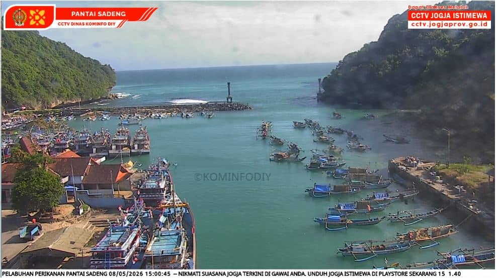
Pantai Sadeng Gunungkidul
Yogyakarta, Indonesia — 231 km
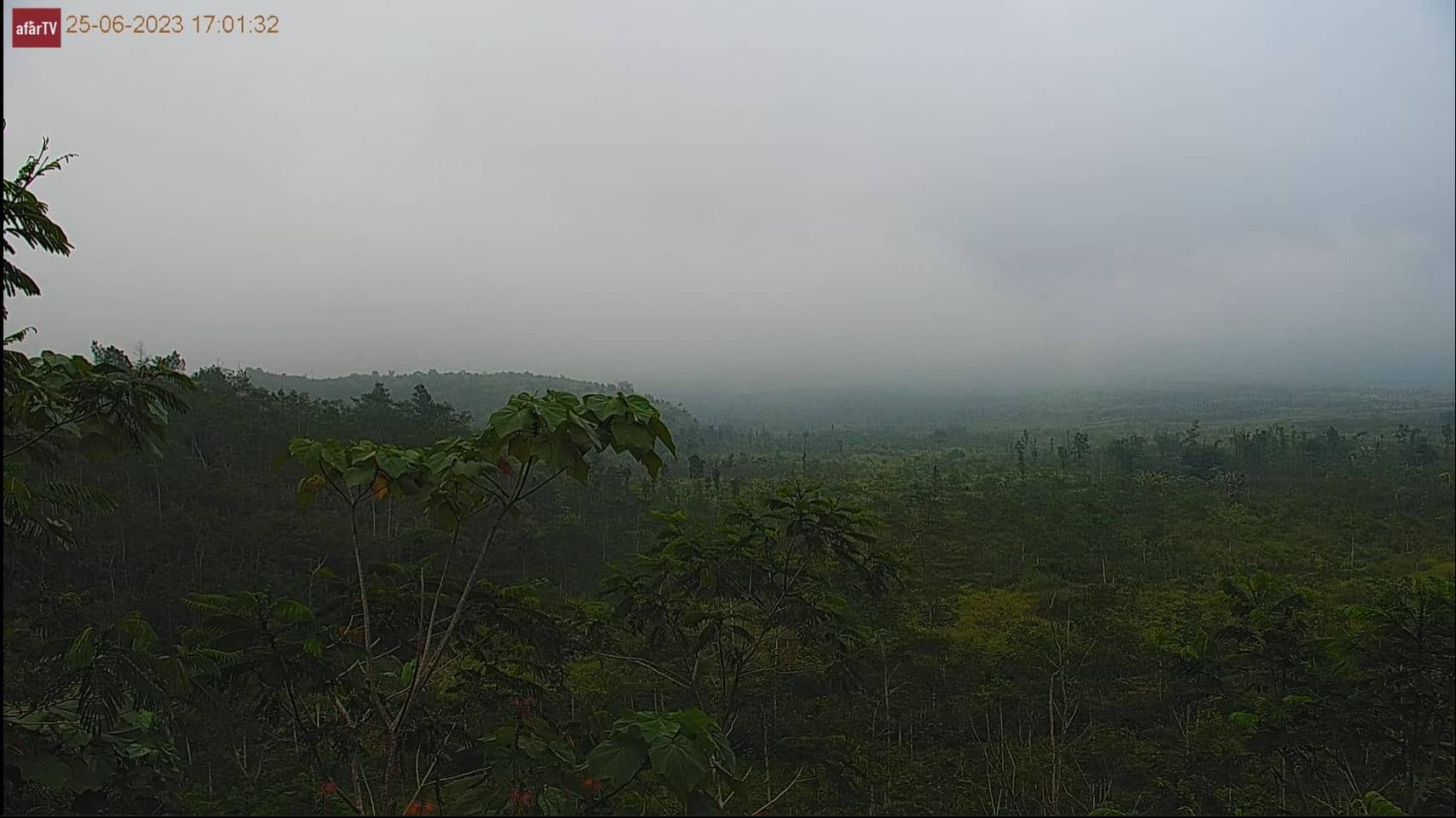
Semeru
🇮🇩 East Java · Indonesia — Altitude 789 m
This live camera points at Semeru, the highest volcano on Java, which rises above the East Java highlands. It is a practical way to check whether the mountain is visible and what the sky looks like before you commit to a visit or a long drive.
Semeru is an active stratovolcano in East Java, standing at roughly 3,676 metres and known locally as the Mahameru, or great mountain. It sits within the Tengger Semeru area near the Bromo region and is one of Indonesia's most closely watched volcanoes. Its slopes are steep, and the surrounding landscape is shaped by volcanic ash, dense forest at lower elevations and open ridges higher up. The mountain is considered sacred by many Tenggerese communities who live nearby.
Because this camera follows a mountain, the most useful moments are usually early morning, when the air is clearest and the summit is more likely to be visible, and late afternoon, when clouds often build up. Activity and visibility change quickly with weather and volcanic conditions, so the view may be partly or fully obscured at times. Check the live weather block on the page to judge whether cloud cover is likely to clear.
The climate in East Java is tropical, with a dry season from roughly May to October that generally offers the clearest skies. Climbing Semeru is restricted at times for safety reasons, so check current guidance from local authorities before planning any trek. The nearest major airports and transport hubs are in the wider East Java region, and nearby cameras on the page cover other spots in the Gunungkidul area.
Source: Semeru Volcano Webcam
Yogyakarta, Indonesia — 231 km
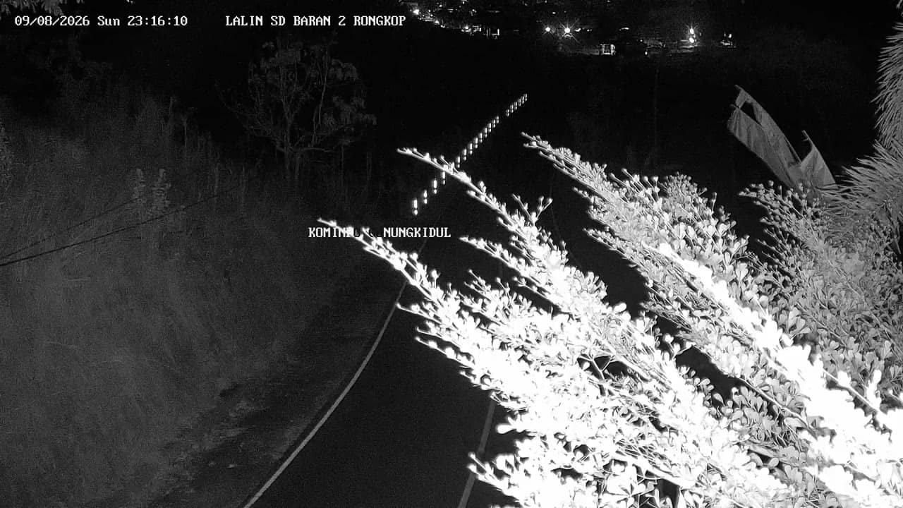
Yogyakarta, Indonesia — 234 km
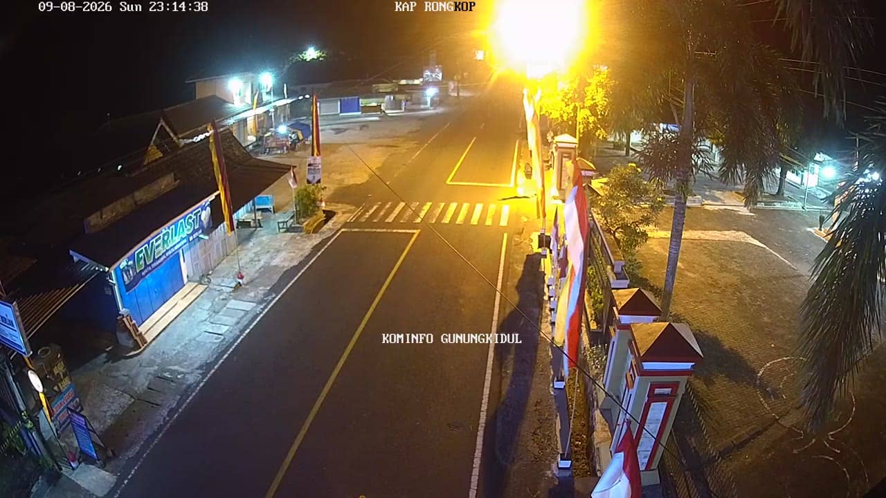
Yogyakarta, Indonesia — 235 km
Yogyakarta, Indonesia — 235 km
Yogyakarta, Indonesia — 235 km
Yogyakarta, Indonesia — 238 km
Yogyakarta, Indonesia — 239 km

Yogyakarta, Indonesia — 240 km
Yogyakarta, Indonesia — 240 km
Yogyakarta, Indonesia — 240 km
The live weather block on this page shows current conditions and a three-day forecast for the Semeru area. Cloud cover is the main factor that decides whether the summit can be seen.
The page shows the local time for East Java, which runs on Western Indonesian Time, so you can match the stream to the time of day there.
The camera is placed in the Semeru area of East Java, Indonesia, at an elevation of about 789 metres. The map on the page marks its location.
Early mornings in the dry season, roughly May to October, usually offer the clearest views. Visibility can change quickly, so watching at different times of day helps.
Partner links: we may earn a commission at no extra cost to you.