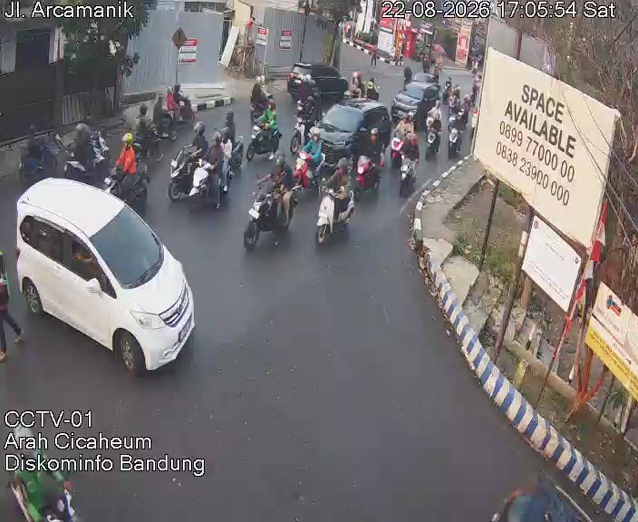
Bandung - Jalan Arcamanik 01
West Java, Indonesia — 0.7 km

Bandung - Tb Jl. A. H. Nasution Cikadut
🇮🇩 West Java · Indonesia — Altitude 688 m
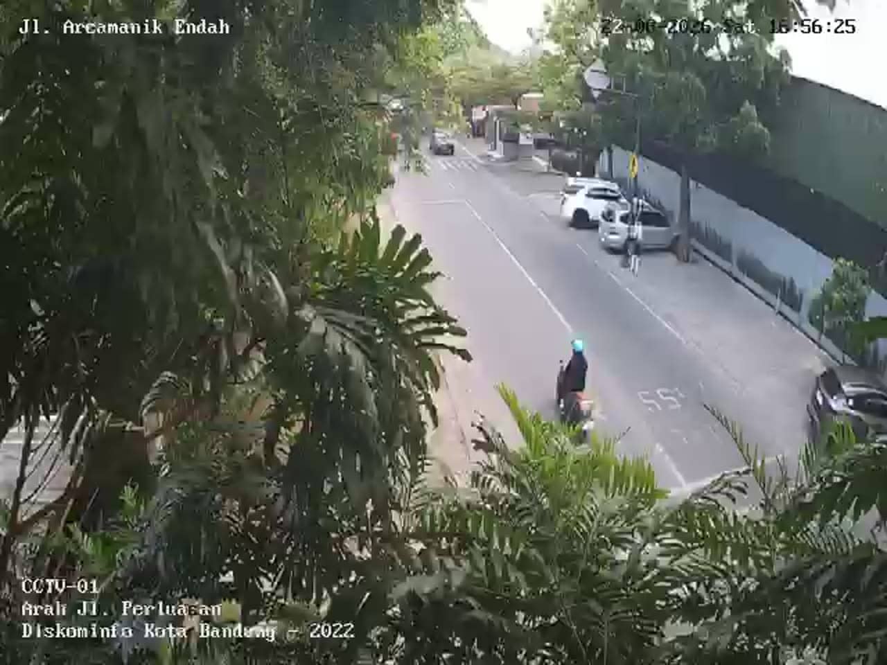
This live camera looks out over a busy urban road on the eastern side of Bandung, the capital of West Java. It is useful for checking traffic flow and conditions in the city before you travel. The page also shows local time and the weather outlook for Bandung.
Bandung sits on a high plateau surrounded by volcanic hills, roughly 700 metres above sea level, which gives it a cooler climate than most Indonesian cities. It is known as a centre of education, design and creative industries, and its wide colonial-era boulevards sit alongside dense modern neighbourhoods. Cikadut lies on the eastern edge of the city, where the urban fabric becomes more residential and the surrounding hills come closer to the roads.
The view follows a main city road, so the most telling moments are the morning and late afternoon rush hours, when vehicle flow is heaviest. Midday and evening show how traffic thins out after work hours. Rain is common in Bandung, especially in the wetter months, and wet roads can change how traffic moves, so a quick look before heading out can be worthwhile. Exact conditions depend on the time of day and the weather.
Bandung is best visited during the drier months from roughly June to September, when days are mild and skies are clearer. Getting around the city is easiest by ride-hailing apps or local transport, and traffic can be slow at peak times. Other live cameras in the area include Arcamanik on Jalan Arcamanik, Cicabe, and the front of Cicaheum Terminal, all within about one kilometre of this view.
Source: pelindung.bandung.go.id
West Java, Indonesia — 0.7 km
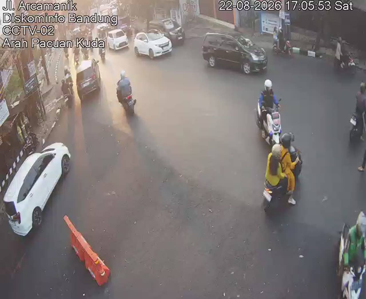
West Java, Indonesia — 0.8 km

West Java, Indonesia — 0.8 km
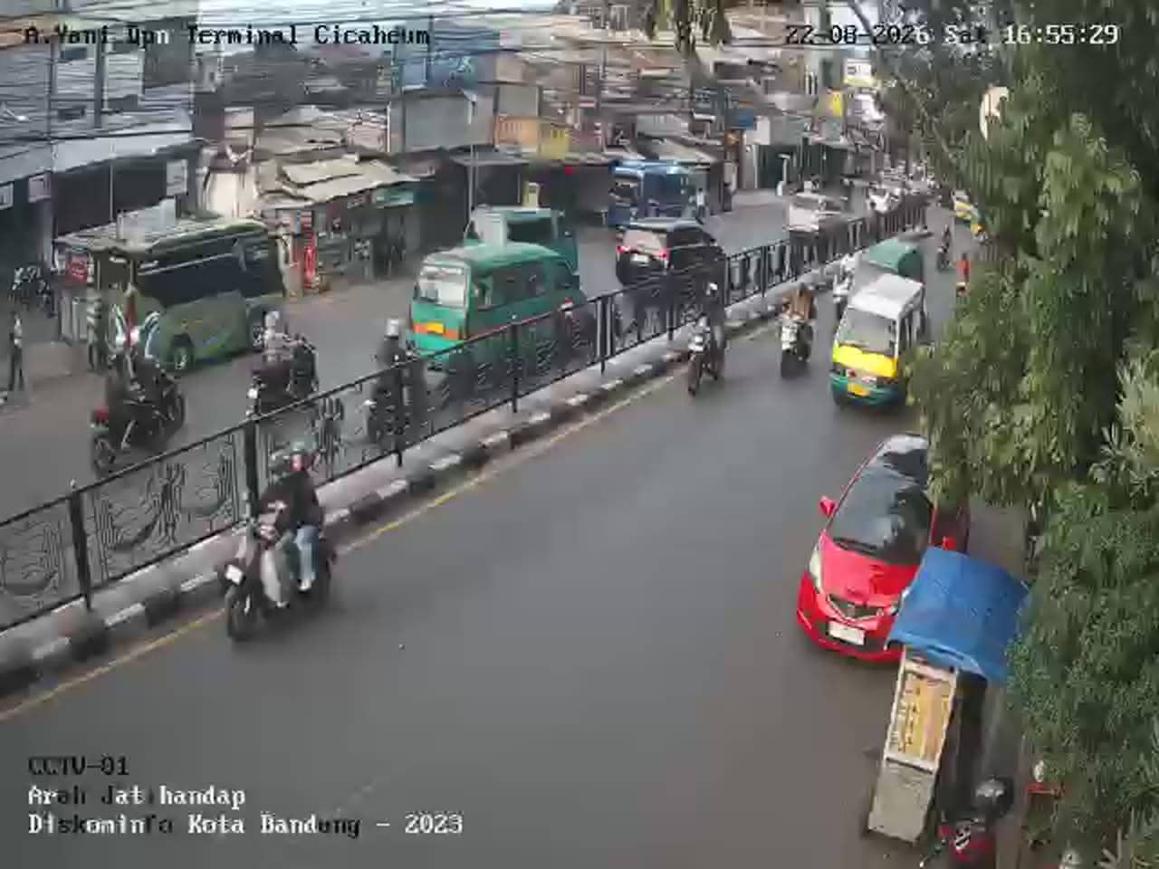
West Java, Indonesia — 1.1 km

West Java, Indonesia — 1.3 km

West Java, Indonesia — 1.3 km

West Java, Indonesia — 1.5 km
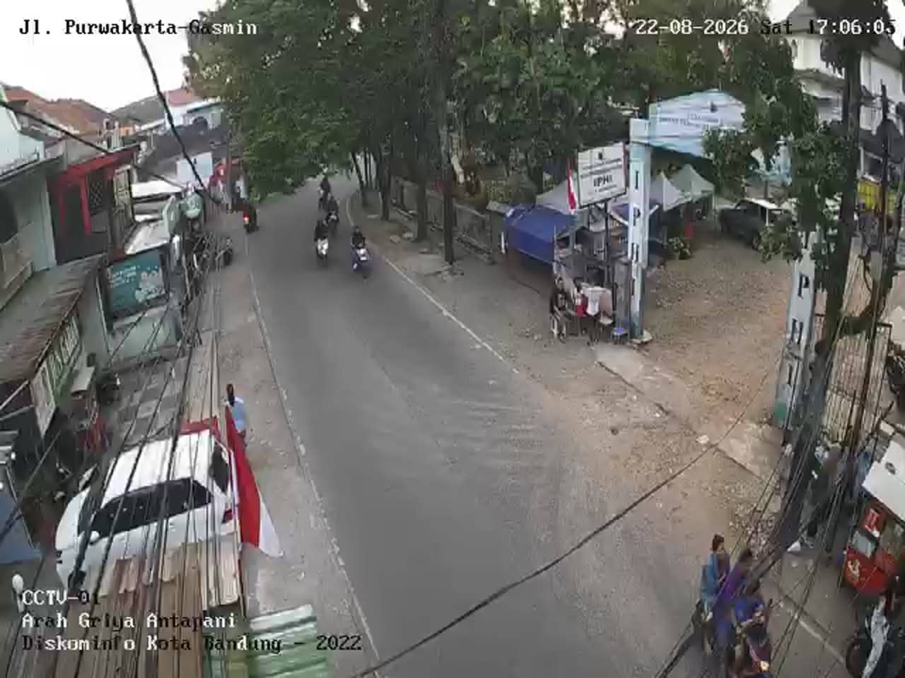
West Java, Indonesia — 1.5 km
West Java, Indonesia — 1.5 km
West Java, Indonesia — 1.5 km
The current conditions and a three-day forecast for Bandung are shown in the weather block on this page. Bandung's altitude keeps temperatures milder than in lowland Indonesian cities.
The local time for Bandung is displayed on this page and updates with the city's time zone, which is Western Indonesia Time.
The camera overlooks A. H. Nasution Road in the Cikadut area on the eastern side of Bandung, shown on the map on this page.
Weekday mornings and late afternoons are usually the busiest, so they are the most informative times to see traffic. Check the weather block too, since rain can change how the road looks.
Partner links: we may earn a commission at no extra cost to you.