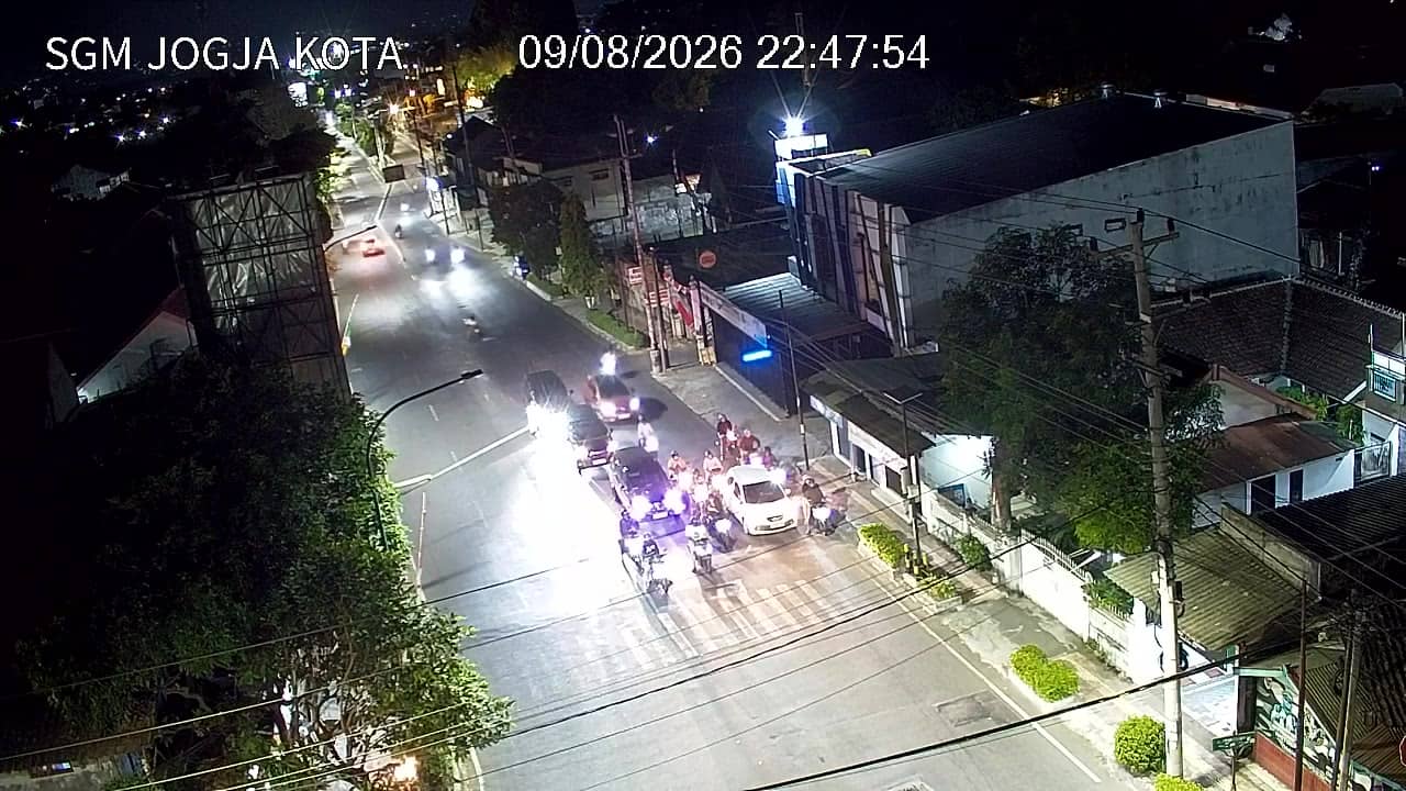
Yogyakarta - SimpangSGM
Yogyakarta, Indonesia — 0.8 km
The camera is temporarily offline
The owner's stream is not available right now. Try again later or watch a camera nearby.
Yogyakarta - Gedongkuning
🇮🇩 Yogyakarta · Indonesia — Altitude 107 m
This live stream follows the traffic at Gedongkuning, a busy junction in the Yogyakarta area on the island of Java. It is a practical view for anyone wanting to see how the roads are moving before a trip or a meeting. The page also shows the local time and the current weather with a short forecast.
Yogyakarta is a city in central Java known for its royal heritage, batik workshops and a lively student population. The city sits at roughly 107 metres above sea level, at the foot of the volcanic region that rises to the north. Gedongkuning lies on the southern edge of the urban area, where the city gradually merges into the districts of Bantul. The atmosphere here is busy and unhurried at the same time, with scooters, becaks and cars sharing the road.
As a traffic camera, the stream is focused on vehicles and junction flow rather than scenery. Peak movement usually comes in the early morning, around midday and during the evening commute, when schools and offices let out. Rain can arrive quickly in the wet season, often in the afternoon, and it changes how slowly traffic moves. Night viewing depends on street lighting, so check the stream if you want to see conditions after dark.
Yogyakarta has a tropical climate, warm all year, with a drier season from roughly May to September and a wetter one from November to March. The dry months are generally the most comfortable for travel. Nearby cameras at Simpang SGM and Simpang Rejowinangun Timur show parallel routes, and Bantul Blok O and Blok O Selatan cover the district to the south, which helps when planning a route across the city.
Source: cctv.jogjaprov.go.id
Yogyakarta, Indonesia — 0.8 km
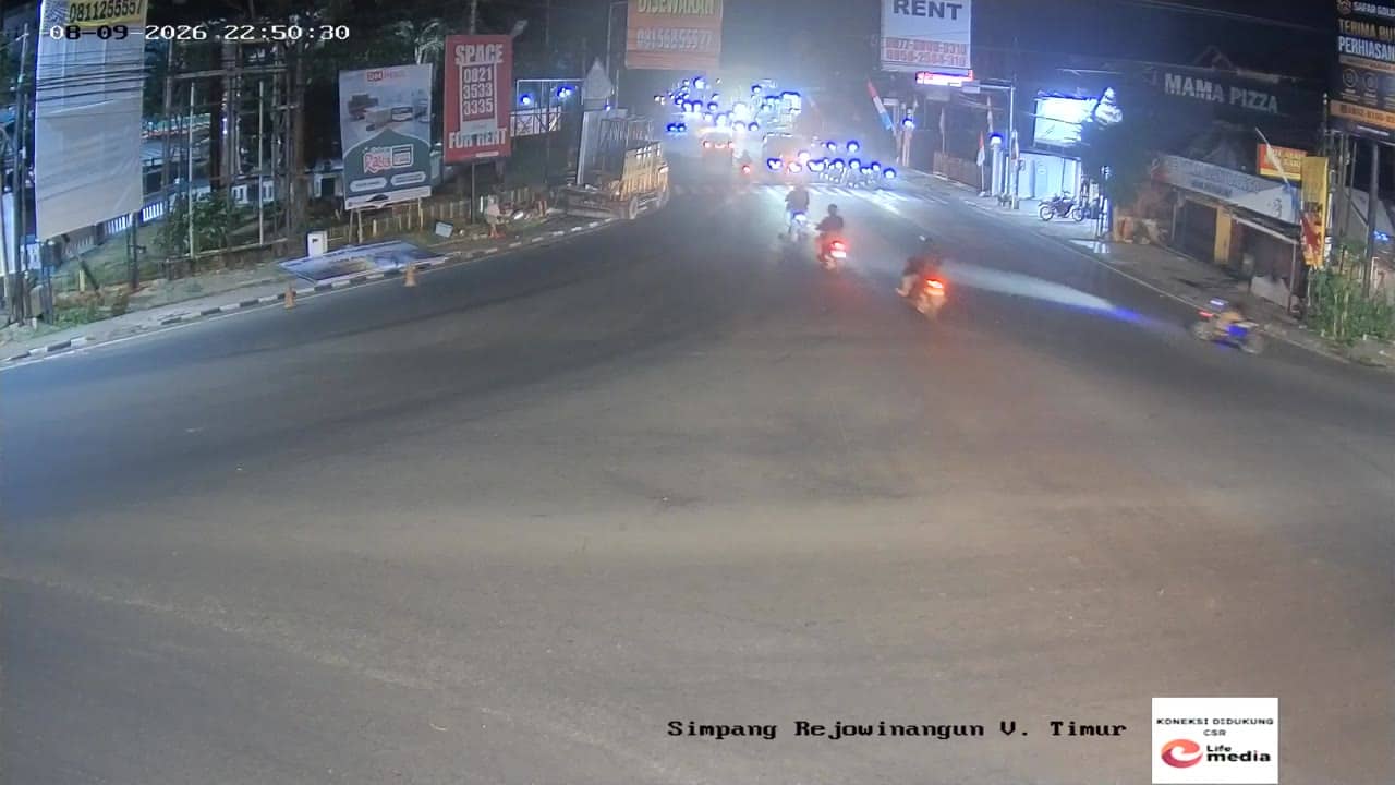
Yogyakarta, Indonesia — 0.9 km
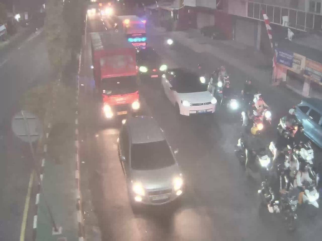
Yogyakarta, Indonesia — 0.9 km
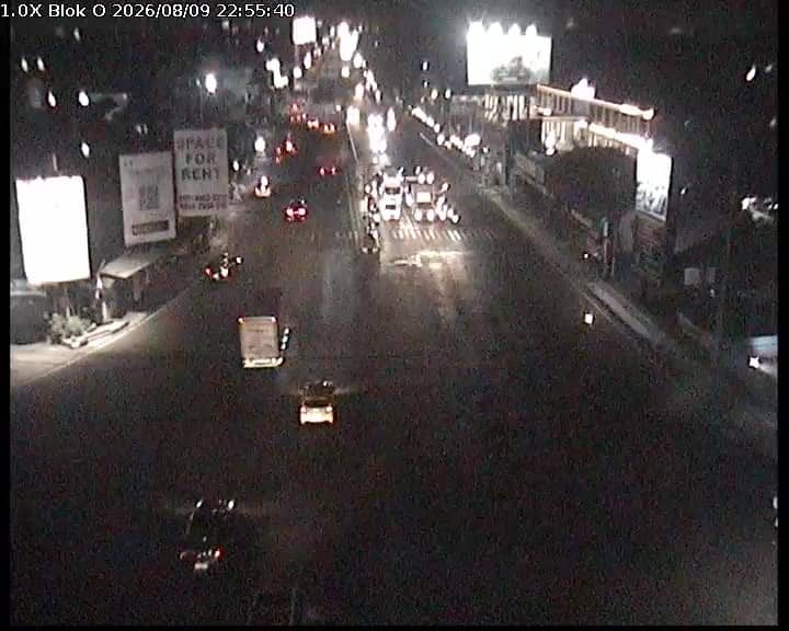
Yogyakarta, Indonesia — 0.9 km

Yogyakarta, Indonesia — 1 km
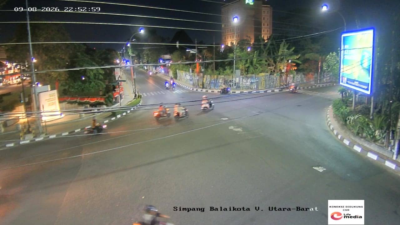
Yogyakarta, Indonesia — 1.1 km
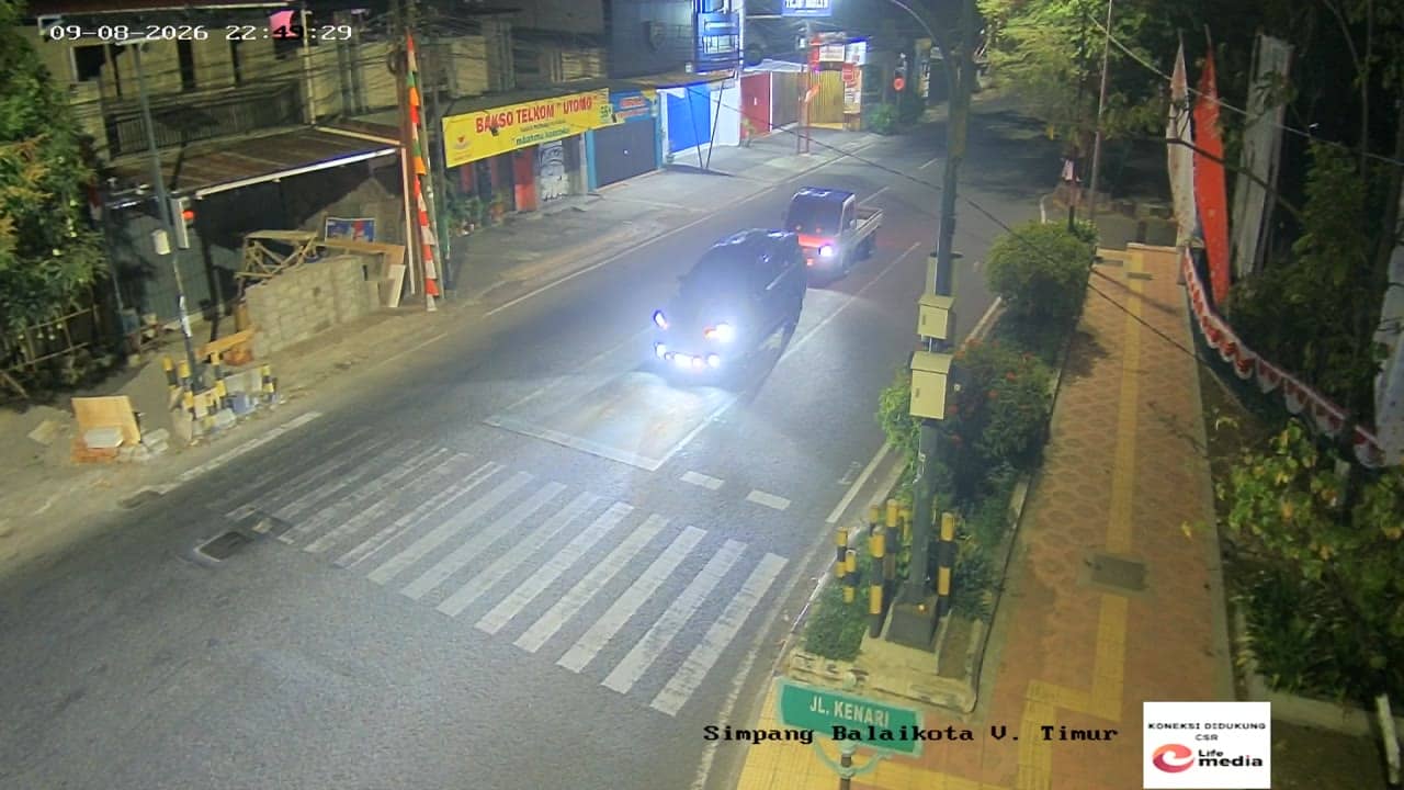
Yogyakarta, Indonesia — 1.1 km
Yogyakarta, Indonesia — 1.1 km
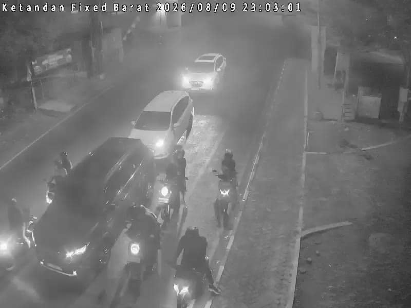
Yogyakarta, Indonesia — 1.3 km
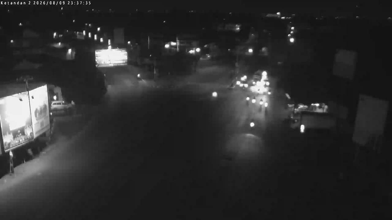
Yogyakarta, Indonesia — 1.4 km
The current conditions and a three-day forecast are shown in the weather block on this page, updated for the location. Check it before heading out, especially during the rainy season.
The local time for Yogyakarta is displayed live on this page. Indonesia uses Western Indonesia Time, which is seven hours ahead of UTC.
The camera is at Gedongkuning on the southern side of Yogyakarta, close to the boundary with Bantul district. The map on this page marks its exact position.
Morning and evening rush hours show the most traffic movement, while midday is usually calmer. Watching during the commute gives the clearest picture of how busy the junction gets.
Partner links: we may earn a commission at no extra cost to you.