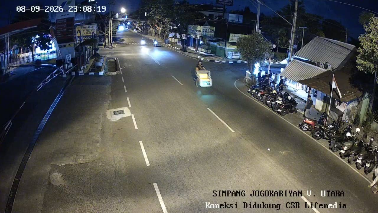
Yogyakarta - JogokariyanUtara
Yogyakarta, Indonesia — 0 km
The camera is temporarily offline
The owner's stream is not available right now. Try again later or watch a camera nearby.
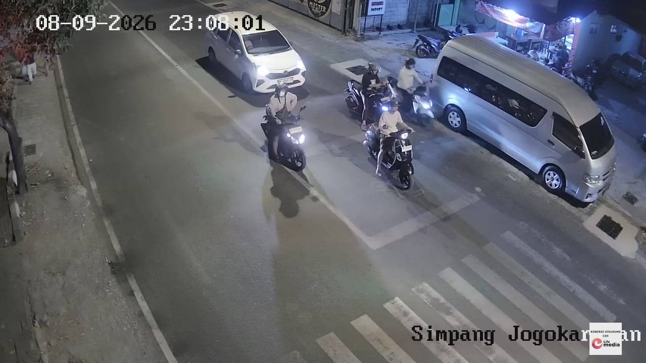
Yogyakarta - JogokariyanSelatan
🇮🇩 Yogyakarta · Indonesia — Altitude 87 m
This live stream follows road traffic on a street in the south of Yogyakarta, a city in central Java known for its university life and cultural heritage. It is useful for anyone who wants a sense of how the city moves before travelling or simply wants to see daily life on a busy urban road.
Yogyakarta sits on the island of Java at the foot of volcanic peaks, with Mount Merapi to the north. The city is a centre of Javanese culture, home to the Sultanate's palace, batik workshops and many universities. The Jogokariyan district lies in the old fabric of the city, where narrow neighbourhood lanes meet larger commercial roads and a mosque that draws worshippers in the evenings.
The title points to a traffic camera, so the view is most likely a city road with motorbikes, cars, becak and pedestrians. Traffic tends to peak in the morning and late afternoon, and in the evening when shops and street stalls open. Depending on the view, you may also notice rain arriving quickly during the wet season, which usually runs from November to March.
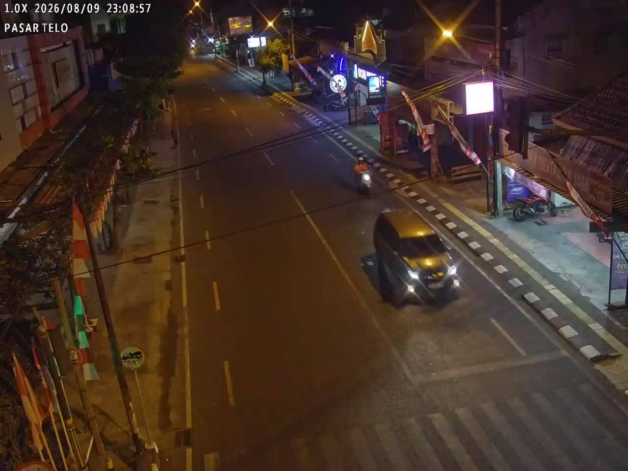
Yogyakarta has a tropical climate with fairly steady temperatures through the year, so the main variable is rainfall. The drier months from May to September are generally the most comfortable time to visit. Within the city, becak, ride-hailing apps and buses are common ways to get around. Nearby cameras on Pasar Telo and Jogokariyan North show other points along the same urban network.
Source: cctv.jogjaprov.go.id
Yogyakarta, Indonesia — 0 km
Yogyakarta, Indonesia — 0.6 km

Yogyakarta, Indonesia — 0.6 km

Yogyakarta, Indonesia — 0.6 km

Yogyakarta, Indonesia — 1.1 km

Yogyakarta, Indonesia — 1.1 km

Yogyakarta, Indonesia — 1.2 km

Yogyakarta, Indonesia — 1.2 km

Yogyakarta, Indonesia — 1.2 km

Yogyakarta, Indonesia — 1.2 km
Current conditions for Yogyakarta are shown in the live weather block on this page, along with a three-day forecast for the area.
The local time for Yogyakarta is displayed on this page and updates live, so you can plan when to check the traffic view.
The camera is on Jogokariyan South in the south of Yogyakarta, at about 87 metres above sea level. The map on this page marks its position.
Weekday mornings and late afternoons usually show the busiest traffic, while late evenings can show quieter streets and street food activity.
Partner links: we may earn a commission at no extra cost to you.