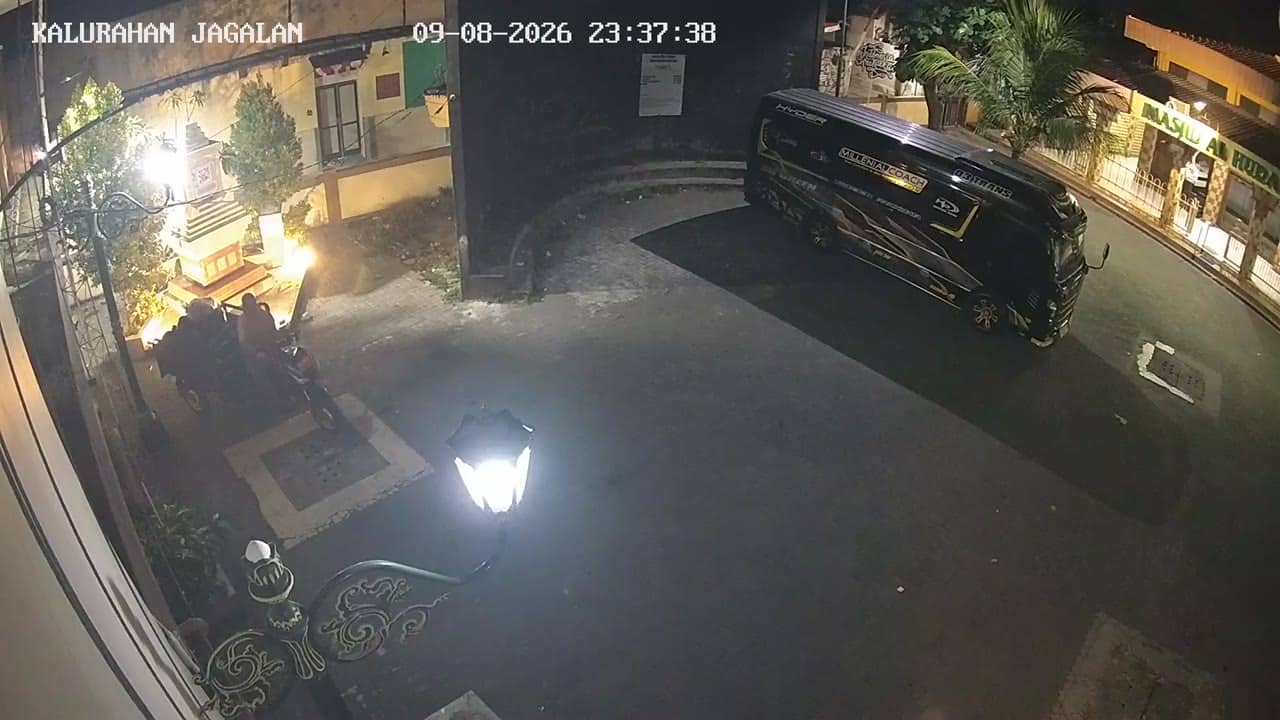
Bantul - KalurahanJagalan
Yogyakarta, Indonesia — 0.6 km
The camera is temporarily offline
The owner's stream is not available right now. Try again later or watch a camera nearby.
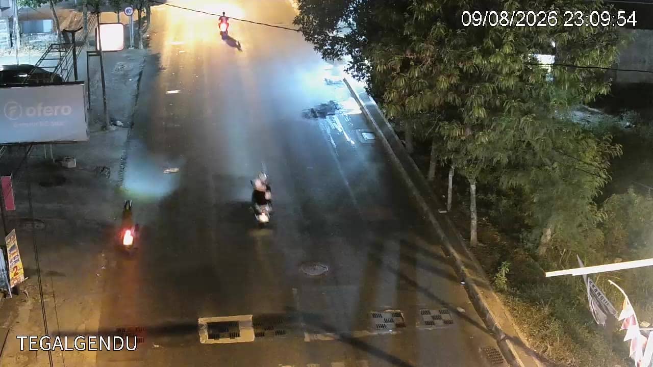
Yogyakarta - Tegalgendu
🇮🇩 Yogyakarta · Indonesia — Altitude 86 m
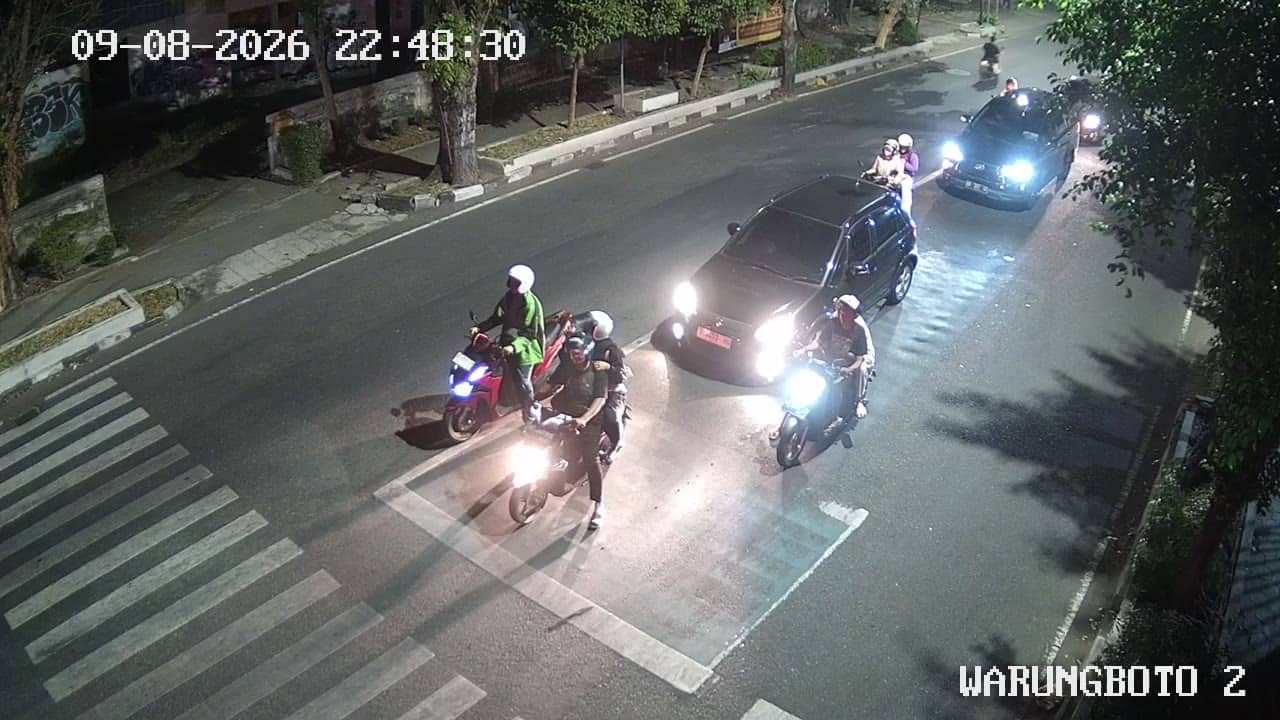
This live stream follows traffic on a busy road in the Tegalgendu area of Yogyakarta, on the island of Java. It suits anyone planning a trip to the city, checking road conditions before a journey, or simply curious how daily life moves through this part of town.
Yogyakarta is a university city in central Java, known for its royal palace, the nearby Borobudur and Prambanan temples, and a strong tradition of batik and crafts. Tegalgendu sits on the southern edge of the urban area, where dense residential streets meet the growing road network that links the city with its surrounding districts. The landscape is flat to gently rolling, with volcanic soils that support farming on the city's fringes.
The camera follows vehicle flow, so you can see how congested the road is at different hours. Morning and late afternoon are usually the busiest, when commuters, students and motorbikes fill the carriageways. Rainy season brings sudden downpours that slow traffic, while the drier months tend to offer clearer views and steadier movement. Quiet periods late at night show the road in a very different light.
Yogyakarta has a tropical climate with a wet season from roughly November to March and a drier period through the middle of the year. Temperatures stay warm throughout, typically in the upper twenties to low thirties Celsius. Taxis, ride-hailing apps and local buses connect the city well, and the cameras nearby cover other busy junctions in Bantul and the wider region, useful for comparing conditions across the area.
Source: cctv.jogjaprov.go.id
Yogyakarta, Indonesia — 0.6 km

Yogyakarta, Indonesia — 0.8 km

Yogyakarta, Indonesia — 0.8 km

Yogyakarta, Indonesia — 1 km
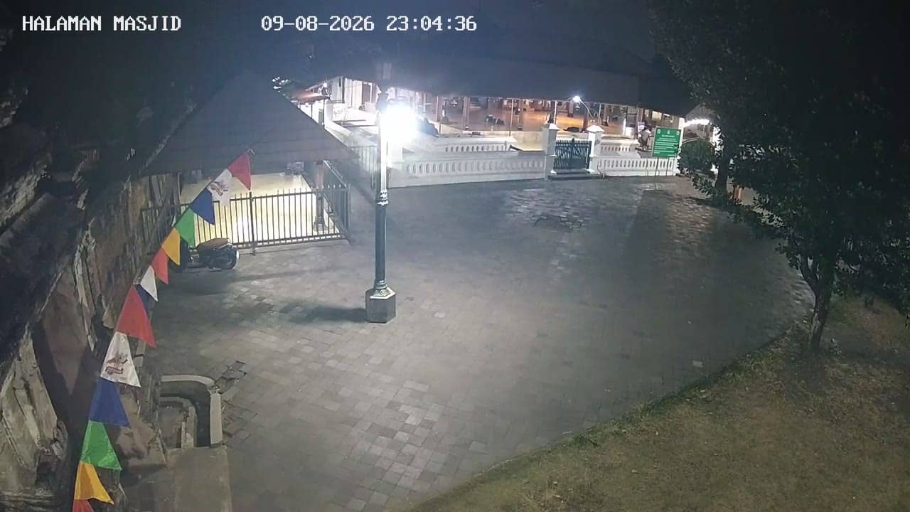
Yogyakarta, Indonesia — 1 km

Yogyakarta, Indonesia — 1 km
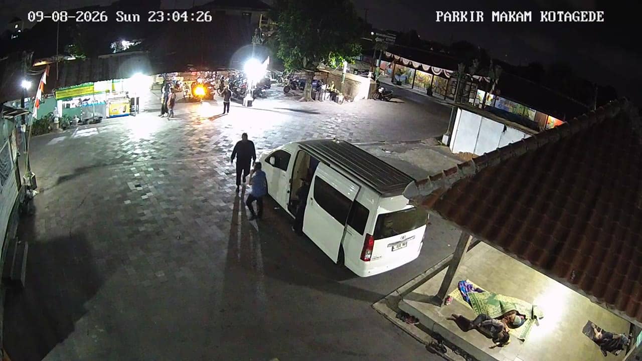
Yogyakarta, Indonesia — 1.1 km

Yogyakarta, Indonesia — 1.1 km

Yogyakarta, Indonesia — 1.1 km
Yogyakarta, Indonesia — 1.2 km
The current conditions and a three-day forecast for this location are shown in the weather block on this page, updated automatically.
The local time for Yogyakarta is displayed live on this page, so you can check it against the stream before planning a journey.
The camera is in the Tegalgendu area on the southern side of Yogyakarta, and the map on this page marks its exact position.
Weekday mornings and late afternoons usually show the heaviest traffic, while late evenings are quieter and easier to read at a glance.
Partner links: we may earn a commission at no extra cost to you.