
Gunungkidul - SMP2Paliyan
Yogyakarta, Indonesia — 0.9 km
The camera is temporarily offline
The owner's stream is not available right now. Try again later or watch a camera nearby.
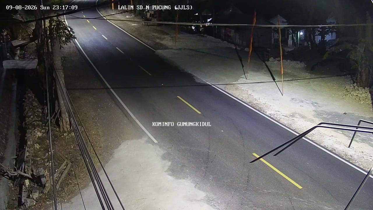
Gunungkidul - SDPucung
🇮🇩 Yogyakarta · Indonesia — Altitude 252 m
This live stream looks over a school setting in Gunungkidul, a regency in the Special Region of Yogyakarta on the island of Java. It is useful if you want to check how the area looks at the moment, or follow conditions in this part of the region before travelling. The page also gives local time and the weather outlook for the same spot.
Gunungkidul lies south-east of the city of Yogyakarta and covers a large area of limestone hills and karst terrain. The landscape is known for dry uplands, caves, and a coastline of cliffs and quiet beaches to the south. Villages here tend to be rural, with farming, small markets and a slower pace than the city. The regency is often visited as a gateway to the wider southern coast of Java.
The image is a fixed view tied to the title, which points to a primary school in the Pucung area, so expect a rural village scene rather than a busy street. Activity usually follows the school day, with the morning and early afternoon likely to be the most lively. Weather changes are easy to judge from the stream, including the rainy season clouds that often build over the hills in the afternoon. Image details depend on the view and the light at the time you connect.
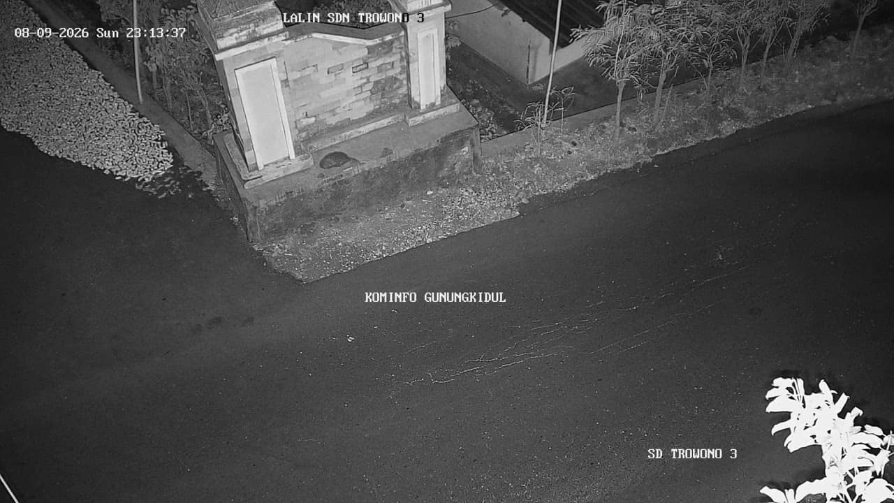
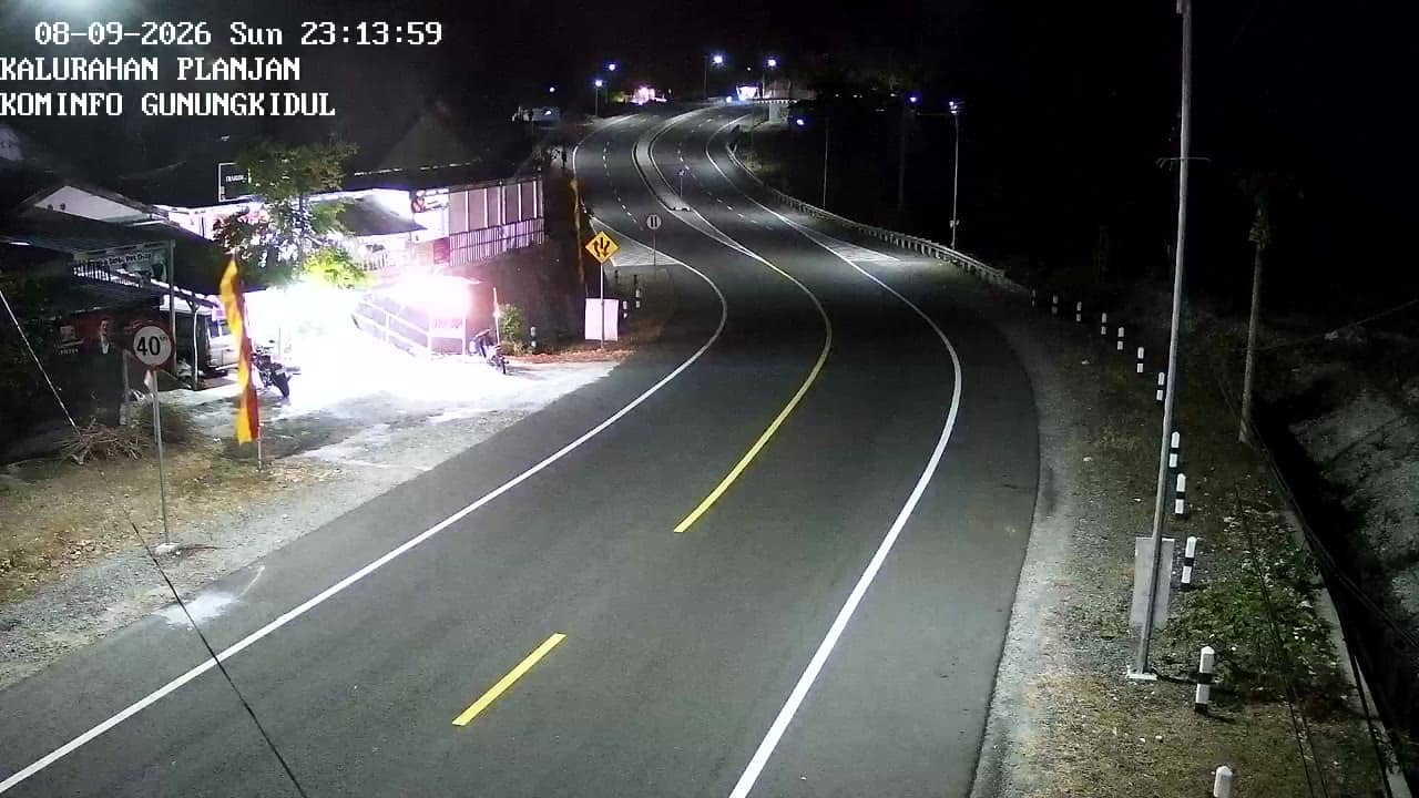
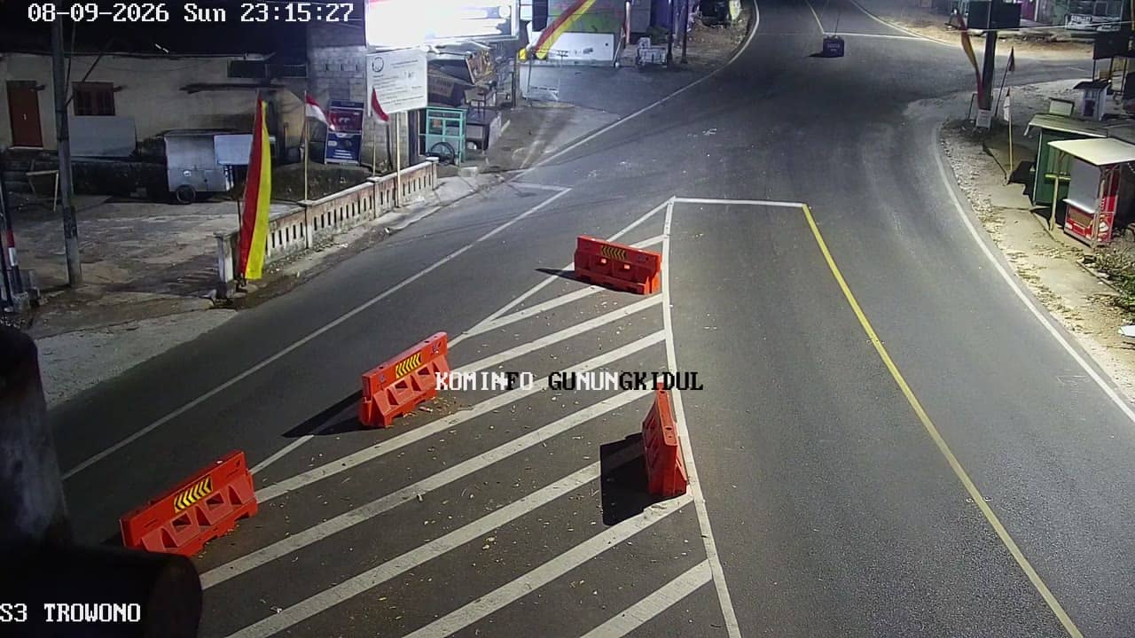
The area has a tropical climate with a wet season from roughly November to March and a drier period from around April to October. Temperatures are warm year round, so lighter clothing suits most visits. Getting around usually means a car or motorbike, as public transport is limited outside the main towns. Nearby cameras on this site include SMP2 Paliyan, SD Trowono 3, Planjan village and SD Trowono 1, which can help you compare conditions across the area.
Source: cctv.jogjaprov.go.id
Yogyakarta, Indonesia — 0.9 km
Yogyakarta, Indonesia — 1.8 km
Yogyakarta, Indonesia — 3.3 km
Yogyakarta, Indonesia — 3.3 km

Yogyakarta, Indonesia — 3.8 km

Yogyakarta, Indonesia — 3.8 km
Yogyakarta, Indonesia — 4.4 km
Yogyakarta, Indonesia — 5.5 km

Yogyakarta, Indonesia — 6.4 km
Yogyakarta, Indonesia — 6.5 km
The current conditions and a three-day forecast for this camera are shown in the weather block on this page. Values update automatically, so you do not need to refresh for the latest report.
The local time for this camera is displayed on the page and follows Western Indonesia time. It updates live alongside the stream.
The camera sits in Gunungkidul regency in the Special Region of Yogyakarta, Indonesia, at roughly 252 metres above sea level. The map on the page marks its position.
Mornings and early afternoons tend to show the most activity around a school, while late afternoon often brings the clouds that build over the hills in the wet season.
Partner links: we may earn a commission at no extra cost to you.