
Stilfs - Stelvio
Trentino-South Tyrol, Italy — 4.6 km
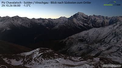
Piz Chavalatsch - Solda - Val Venosta - vue vers le sud-est sur l'Ortler
🇮🇹 Trentino-South Tyrol · Italy — Altitude 2763 m
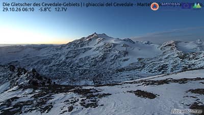
This camera looks southeast from the mountain above Solda in the Vinschgau, across the high peaks toward the Ortler, the highest mountain in South Tyrol. It is a good way to judge snow cover, cloud build-up and visibility over the Alpine ridges before deciding on a hike or a drive up the valley.
Piz Chavalatsch sits at about 2,763 metres above the Vinschgau, the long valley of the Adige river in the far west of South Tyrol near the Swiss and Austrian borders. The Ortler range is one of the most recognisable groups in the Eastern Alps, with glaciers and steep rock faces rising above the village of Solda and the Stelvio region. The landscape mixes orchards and villages on the valley floor with alpine pastures and bare rock higher up.
The camera is aimed at the mountain panorama rather than a single landmark, so the view changes mostly with light and weather. Clear mornings tend to give the sharpest outlines of the peaks, while afternoons often bring cloud formation over the high summits. Watching in late spring and early summer can reveal fresh snow and the state of the glaciers, and autumn often offers stable, clear skies.
The Vinschgau has a dry, sunny climate compared with many Alpine areas, but temperatures at altitude drop quickly and weather can turn in a short time. Summer and early autumn are the main hiking seasons. Nearby cameras on the same network include Stilfs at Stelvio, Trafoi at the Furkelhütte and the Ortler glacier view, and Mals at Hotel Watles, which help you compare conditions along the valley.
Source: foto-webcam.eu
Trentino-South Tyrol, Italy — 4.6 km

Trentino-South Tyrol, Italy — 5.1 km
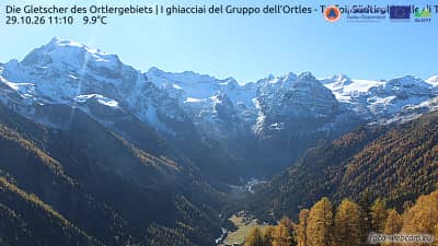
Trentino-South Tyrol, Italy — 5.3 km
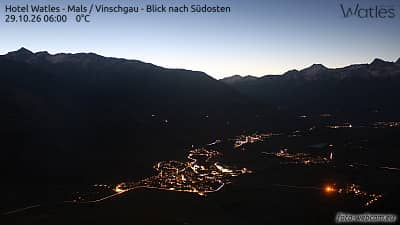
Trentino-South Tyrol, Italy — 9.7 km
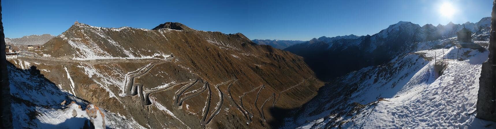
Trentino-South Tyrol, Italy — 10 km

Trentino-South Tyrol, Italy — 14 km

Trentino-South Tyrol, Italy — 16 km
Trentino-South Tyrol, Italy — 17 km
Lombardy, Italy — 19 km
Lombardy, Italy — 19 km
The live weather and three-day forecast for this location are shown on this page above the camera. They update automatically, so you can check conditions at altitude before heading out.
The local time for this camera is displayed on the page next to the live view. It follows the Central European time used in this part of Italy.
The camera is on Piz Chavalatsch above Solda in the Vinschgau valley of South Tyrol, Italy, at about 2,763 metres. The map on this page shows its precise position.
Early mornings usually give the clearest outlines of the peaks, while late spring and autumn often show the most stable skies. Afternoon cloud can build quickly over the high summits.
Partner links: we may earn a commission at no extra cost to you.